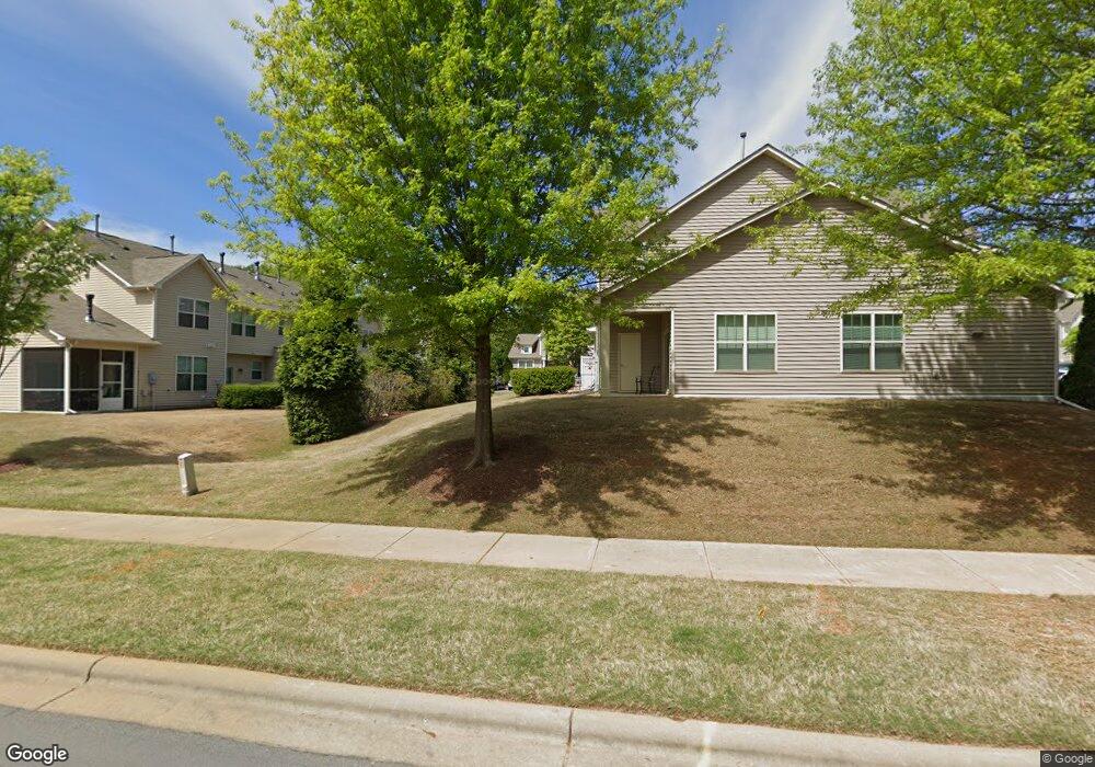
120 Panamint Dr Durham, NC 27705
West Durham NeighborhoodEstimated Value: $372,645 - $427,000
3
Beds
3
Baths
1,577
Sq Ft
$252/Sq Ft
Est. Value
About This Home
This home is located at 120 Panamint Dr, Durham, NC 27705 and is currently estimated at $398,161, approximately $252 per square foot. 120 Panamint Dr is a home located in Durham County with nearby schools including Morehead Montessori, Forest View Elementary, and Brogden Middle.
Ownership History
Date
Name
Owned For
Owner Type
Purchase Details
Closed on
Feb 5, 2021
Sold by
Guargila Brittany N
Bought by
Yan Jingyi
Current Estimated Value
Purchase Details
Closed on
Mar 19, 2013
Sold by
Standard Pacific Of The Carolinas Llc
Bought by
Guarglia Brittnay N
Home Financials for this Owner
Home Financials are based on the most recent Mortgage that was taken out on this home.
Original Mortgage
$145,300
Interest Rate
3.57%
Mortgage Type
New Conventional
Create a Home Valuation Report for This Property
The Home Valuation Report is an in-depth analysis detailing your home's value as well as a comparison with similar homes in the area
Home Values in the Area
Average Home Value in this Area
Purchase History
| Date | Buyer | Sale Price | Title Company |
|---|---|---|---|
| Yan Jingyi | $320,000 | None Available | |
| Guarglia Brittnay N | $182,000 | None Available |
Source: Public Records
Mortgage History
| Date | Status | Borrower | Loan Amount |
|---|---|---|---|
| Previous Owner | Guarglia Brittnay N | $145,300 |
Source: Public Records
Tax History
| Year | Tax Paid | Tax Assessment Tax Assessment Total Assessment is a certain percentage of the fair market value that is determined by local assessors to be the total taxable value of land and additions on the property. | Land | Improvement |
|---|---|---|---|---|
| 2025 | $3,712 | $374,483 | $95,000 | $279,483 |
| 2024 | $2,478 | $252,520 | $50,000 | $202,520 |
| 2023 | $2,478 | $252,520 | $50,000 | $202,520 |
| 2022 | $3,232 | $252,520 | $50,000 | $202,520 |
| 2021 | $3,217 | $252,520 | $50,000 | $202,520 |
| 2020 | $3,141 | $252,520 | $50,000 | $202,520 |
| 2019 | $3,141 | $252,520 | $50,000 | $202,520 |
| 2018 | $2,811 | $207,242 | $40,000 | $167,242 |
| 2017 | $2,791 | $207,242 | $40,000 | $167,242 |
| 2016 | $2,696 | $207,242 | $40,000 | $167,242 |
| 2015 | $2,334 | $168,636 | $31,000 | $137,636 |
| 2014 | $2,334 | $168,636 | $31,000 | $137,636 |
Source: Public Records
Map
Nearby Homes
- 112 Mt Evans Dr
- 112 Salmon River Dr
- 6 Intuition Cir
- 4 Astor Ct
- 4441 Talcott Dr
- 7 Durbin Place
- 22 Durbin Place
- 412 Lionel St
- 309 Lionel St
- 36 Georgetown Ct
- 4403 Valley Forge Rd
- 128 Galway Glenn Ln
- 219 Silas St
- 19 Providence Ct
- 13 Providence Ct
- 74 Forest Oaks Dr
- 50 Galway Glenn Ln
- 4111 Talcott Dr
- 4627 Stafford Dr
- 10 Forest Oaks Dr
- 118 Panamint Dr
- 116 Panamint Dr
- 114 Panamint Dr
- 2 Bitter Root Dr Unit 163
- 39 Pocono Dr Unit 133
- 39 Pocono Dr
- 11 Saint Elias Dr
- 37 Pocono Dr
- 41 Pocono Dr
- 43 Pocono Dr Unit 131
- 43 Pocono Dr
- 35 Pocono Dr
- 112 Panamint Dr
- 47 Pocono Dr
- 13 St Elias Dr
- 45 Pocono Dr
- 4 Bitter Root Dr
- 110 Panamint Dr
- 33 Pocono Dr
- 15 St Elias Dr
Your Personal Tour Guide
Ask me questions while you tour the home.