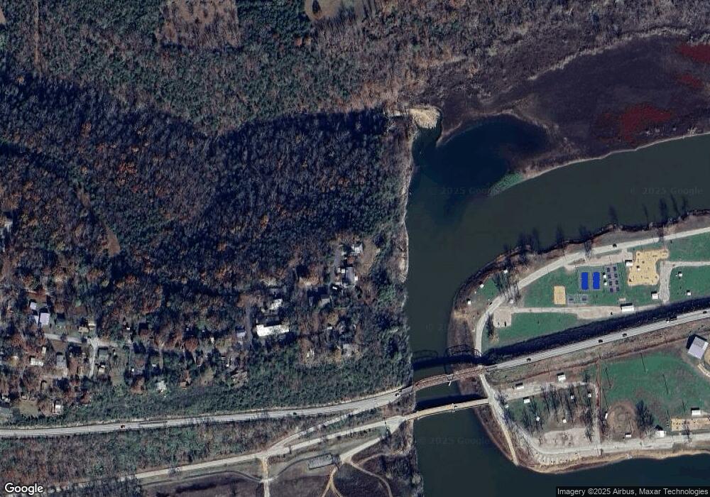
120 Parkview Ln Forsyth, MO 65653
Estimated Value: $197,039 - $234,000
3
Beds
2
Baths
1,213
Sq Ft
$175/Sq Ft
Est. Value
About This Home
This home is located at 120 Parkview Ln, Forsyth, MO 65653 and is currently estimated at $211,760, approximately $174 per square foot. 120 Parkview Ln is a home located in Taney County with nearby schools including Forsyth Elementary School, Forsyth Middle School, and Forsyth High School.
Ownership History
Date
Name
Owned For
Owner Type
Purchase Details
Closed on
Mar 31, 2020
Sold by
Clarkson Tad H and Clarkson Michelle L
Bought by
Clarkson Seth H and Clarkson Sara M
Current Estimated Value
Purchase Details
Closed on
Dec 12, 2011
Sold by
Coleman Arthur Edwin
Bought by
Clarkson Katherine J
Home Financials for this Owner
Home Financials are based on the most recent Mortgage that was taken out on this home.
Original Mortgage
$42,000
Interest Rate
3.99%
Mortgage Type
New Conventional
Purchase Details
Closed on
Oct 19, 2011
Sold by
Federal Home Loan Mortgage Corporation
Bought by
Clarkson Katherine J
Home Financials for this Owner
Home Financials are based on the most recent Mortgage that was taken out on this home.
Original Mortgage
$42,000
Interest Rate
3.99%
Mortgage Type
New Conventional
Create a Home Valuation Report for This Property
The Home Valuation Report is an in-depth analysis detailing your home's value as well as a comparison with similar homes in the area
Home Values in the Area
Average Home Value in this Area
Purchase History
| Date | Buyer | Sale Price | Title Company |
|---|---|---|---|
| Clarkson Seth H | -- | None Available | |
| Clarkson Tad H | -- | None Available | |
| Clarkson Katherine J | -- | None Available | |
| Clarkson Katherine J | -- | -- |
Source: Public Records
Mortgage History
| Date | Status | Borrower | Loan Amount |
|---|---|---|---|
| Previous Owner | Clarkson Katherine J | $42,000 |
Source: Public Records
Tax History Compared to Growth
Tax History
| Year | Tax Paid | Tax Assessment Tax Assessment Total Assessment is a certain percentage of the fair market value that is determined by local assessors to be the total taxable value of land and additions on the property. | Land | Improvement |
|---|---|---|---|---|
| 2025 | $794 | $14,940 | -- | -- |
| 2023 | $794 | $16,340 | $0 | $0 |
| 2022 | $785 | $16,340 | $0 | $0 |
| 2021 | $783 | $16,340 | $0 | $0 |
| 2019 | $728 | $14,680 | $0 | $0 |
| 2018 | $725 | $14,680 | $0 | $0 |
| 2017 | $725 | $14,680 | $0 | $0 |
| 2016 | $624 | $12,690 | $0 | $0 |
| 2015 | $624 | $12,690 | $0 | $0 |
| 2014 | $608 | $12,160 | $0 | $0 |
Source: Public Records
Map
Nearby Homes
- 189 Pierce Place
- 612 Shadowrock Dr
- 573 Shadowrock Dr
- 209 Blunk Terrace
- 136 Mound St
- 146 Mound St
- 16500 State Hwy 160 Hwy
- 292 Boswell Rd
- 11675 State Highway 76
- 485 Eagle Dr
- 51 Eagle Dr
- 53 Eagle Dr
- 47 Eagle Dr
- 49 Eagle Dr
- 59 Eagle Dr
- 000 U S 160
- Lots 62 & 63 Eagle Dr
- 16205 U S 160
- 925 Wayland Dr
- 352 Scenic Dr
- 110 Parkview Ln
- 192 Pierce Place
- 164 Pierce Place
- 809 Shadowrock Dr
- 769 Shadowrock Dr
- 772 Shadowrock Dr
- 755 Shadowrock Dr
- 735 Shadowrock Dr
- 721 Shadowrock Dr
- 164 Forsyth-Taneyville Rd
- 699 Shadowrock Dr
- 712 Shadowrock Dr
- 683 Shadowrock Dr
- 696 Shadowrock Dr
- Tbd Tbd
- 0 Tbd Unit 30322720
- 102 Page St
- 124 Page St
- 647 Shadowrock Dr
- 119 Beth Page
