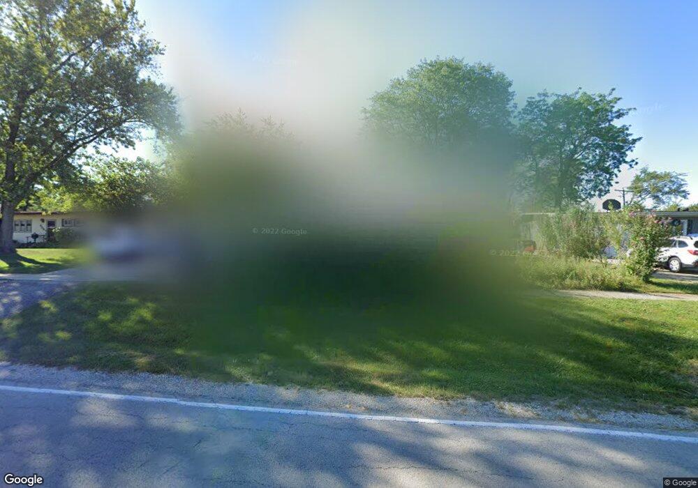
120 Parkway Dr Wheaton, IL 60187
Hawthorne NeighborhoodEstimated Value: $394,875 - $448,000
About This Home
This home is located at 120 Parkway Dr, Wheaton, IL 60187 and is currently estimated at $426,469, approximately $245 per square foot. 120 Parkway Dr is a home located in DuPage County with nearby schools including Hawthorne Elementary School, Franklin Middle School, and Wheaton North High School.
Ownership History
We collect this data history from publicly available records. To have your information removed, we recommend requesting removal directly through your county’s website.
Purchase Details
Purchase Details
Purchase Details
Home Financials for this Owner
Home Financials are based on the most recent Mortgage that was taken out on this home.Purchase Details
Home Financials for this Owner
Home Financials are based on the most recent Mortgage that was taken out on this home.Home Values in the Area
Average Home Value in this Area
Purchase History
We collect this data history from publicly available records. To have your information removed, we recommend requesting removal directly through your county’s website.
| Date | Buyer | Sale Price | Title Company |
|---|---|---|---|
| -- | None Listed On Document | ||
| -- | -- | ||
| -- | Dukane Title Insurance Co | ||
| $134,500 | -- |
Mortgage History
We collect this data history from publicly available records. To have your information removed, we recommend requesting removal directly through your county’s website.
| Date | Status | Borrower | Loan Amount |
|---|---|---|---|
| Previous Owner | $117,000 | ||
| Previous Owner | $132,516 |
Tax History
We collect this data history from publicly available records. To have your information removed, we recommend requesting removal directly through your county’s website.
| Year | Tax Paid | Tax Assessment Tax Assessment Total Assessment is a certain percentage of the fair market value that is determined by local assessors to be the total taxable value of land and additions on the property. | Land | Improvement |
|---|---|---|---|---|
| 2024 | $6,749 | $112,714 | $37,948 | $74,766 |
| 2023 | $6,471 | $103,750 | $34,930 | $68,820 |
| 2022 | $6,756 | $103,550 | $33,010 | $70,540 |
| 2021 | $6,731 | $101,100 | $32,230 | $68,870 |
| 2020 | $6,709 | $100,160 | $31,930 | $68,230 |
| 2019 | $6,552 | $97,520 | $31,090 | $66,430 |
| 2018 | $6,214 | $91,800 | $33,430 | $58,370 |
| 2017 | $6,117 | $88,420 | $32,200 | $56,220 |
| 2016 | $6,029 | $84,880 | $30,910 | $53,970 |
| 2015 | $5,976 | $80,980 | $29,490 | $51,490 |
| 2014 | $5,237 | $70,590 | $25,680 | $44,910 |
| 2013 | $5,103 | $70,800 | $25,760 | $45,040 |
Map
- 1303 N Cross St
- 1115 N Main St
- 114 W Prairie Ave
- 219 W Oak Ave
- 1106 N Washington St
- 532 Ranch Rd
- 1711 Driving Park Rd
- 532 Turf Ln
- 1723 Driving Park Rd
- 608 Cadillac Dr
- 416 W Oak Ave
- 1914 Howard St
- 722 Bridle Ln
- 490 Dolton Ln
- 2061 Windham Cir
- 314 E Jefferson Ave
- 621 Dunhill Ln
- 918 Cherry St
- N405 Gary Ave
- 707 Gary Ct
- 206 Parkway Dr
- 116 Parkway Dr
- 123 E Hawthorne Blvd
- 210 Parkway Dr
- 203 E Hawthorne Blvd
- 119 E Hawthorne Blvd
- 211 E Hawthorne Blvd
- 1525 N Main St
- 220 Parkway Dr
- 205 Parkway Dr
- 221 E Hawthorne Blvd
- 126 E Hawthorne Blvd
- 226 Parkway Dr
- 225 E Hawthorne Blvd
- 210 E Hawthorne Blvd
- 1514 N Scott St
- 1504 N Scott St
- 220 E Hawthorne Blvd
- 1600 N Main St
- 1417 N Main St
Ask me questions while you tour the home.