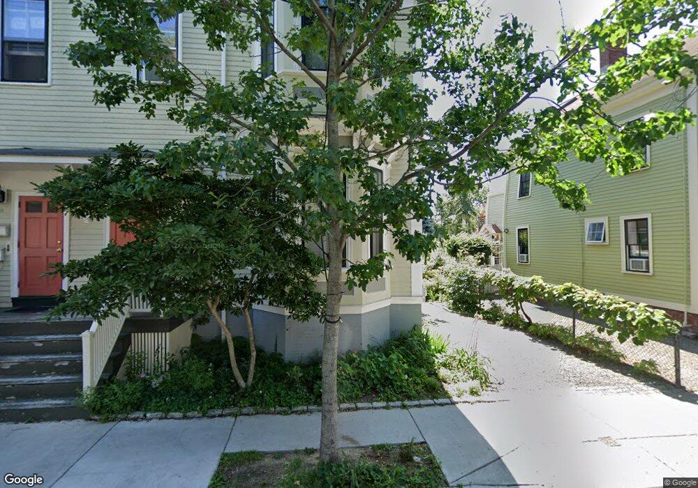
120 Pearl St Cambridge, MA 02139
Cambridgeport NeighborhoodEstimated Value: $1,689,000 - $1,997,000
4
Beds
3
Baths
2,585
Sq Ft
$723/Sq Ft
Est. Value
About This Home
This home is located at 120 Pearl St, Cambridge, MA 02139 and is currently estimated at $1,868,189, approximately $722 per square foot. 120 Pearl St is a home located in Middlesex County with nearby schools including Prospect Hill Academy Charter School.
Ownership History
Date
Name
Owned For
Owner Type
Purchase Details
Closed on
Jun 6, 2016
Sold by
Huntington Lucia and Gappelberg Britt H
Bought by
Huntington Lucia A and Gappelberg Britt H
Current Estimated Value
Purchase Details
Closed on
Jan 23, 2007
Sold by
Broekhuysen Jacqueline C and Broekhuysen Martin J
Bought by
Medoff Britt H and Huntington Lucia
Purchase Details
Closed on
Aug 1, 1996
Sold by
Pratt-Otto Stephen and Pratt-Otto Drusilla
Bought by
Boekhuysen Martin and Boekhuysen Jacqueline
Home Financials for this Owner
Home Financials are based on the most recent Mortgage that was taken out on this home.
Original Mortgage
$220,000
Interest Rate
8.27%
Mortgage Type
Commercial
Create a Home Valuation Report for This Property
The Home Valuation Report is an in-depth analysis detailing your home's value as well as a comparison with similar homes in the area
Home Values in the Area
Average Home Value in this Area
Purchase History
| Date | Buyer | Sale Price | Title Company |
|---|---|---|---|
| Huntington Lucia A | -- | -- | |
| Medoff Britt H | -- | -- | |
| Boekhuysen Martin | $341,360 | -- |
Source: Public Records
Mortgage History
| Date | Status | Borrower | Loan Amount |
|---|---|---|---|
| Previous Owner | Boekhuysen Martin | $220,000 |
Source: Public Records
Tax History Compared to Growth
Tax History
| Year | Tax Paid | Tax Assessment Tax Assessment Total Assessment is a certain percentage of the fair market value that is determined by local assessors to be the total taxable value of land and additions on the property. | Land | Improvement |
|---|---|---|---|---|
| 2025 | $9,399 | $1,480,200 | $719,500 | $760,700 |
| 2024 | $8,949 | $1,511,700 | $779,400 | $732,300 |
| 2023 | $8,176 | $1,395,300 | $753,000 | $642,300 |
| 2022 | $8,071 | $1,363,400 | $783,300 | $580,100 |
| 2021 | $8,676 | $1,282,600 | $724,400 | $558,200 |
| 2020 | $7,101 | $1,235,000 | $687,300 | $547,700 |
| 2019 | $6,624 | $1,115,100 | $599,500 | $515,600 |
| 2018 | $7,278 | $989,000 | $527,100 | $461,900 |
| 2017 | $6,352 | $978,800 | $516,800 | $462,000 |
| 2016 | $5,857 | $837,900 | $408,300 | $429,600 |
| 2015 | $5,769 | $737,700 | $356,600 | $381,100 |
| 2014 | $5,693 | $679,300 | $338,500 | $340,800 |
Source: Public Records
Map
Nearby Homes
- 8 Watson St Unit 8
- 127 Auburn St
- 129 Auburn St
- 131 Erie St Unit 3
- 131 Erie St Unit 1
- 161 Hamilton St
- 280 Green St
- 174 Hamilton St
- 300 Franklin St Unit 5
- 300 Franklin St Unit 1
- 300 Franklin St Unit 2
- 100 Magazine St Unit 2
- 1 Jay St
- 860 Massachusetts Ave Unit 852-3
- 149A Bishop Allen Unit A
- 260 Sidney St Unit 3R
- 863 Massachusetts Ave Unit 25
- 28 Inman St Unit 4
- 33 Inman St Unit 1B
- 16 Lee St Unit 2
- 120 Pearl St Unit 119-2
- 118 Pearl St Unit 2
- 126 Pearl St Unit 128
- 124 Pearl St
- 48 Lopez St
- 112 Pearl St Unit 2
- 114 Pearl St Unit 2
- 51 Lopez St Unit B
- 51 Lopez St Unit 4
- 51 Lopez St Unit 3
- 51 Lopez St Unit 2
- 51 Lopez St Unit 1
- 51 Lopez St
- 125 Pearl St
- 132 Pearl St
- 31 Decatur St Unit B
- 27 Decatur St
- 27 Decatur St Unit 2
- 109 Pearl St
- 115 Pearl St