120 Powers Drive Ln Orland, ME 04472
Estimated Value: $158,000 - $282,000
2
Beds
1
Bath
936
Sq Ft
$239/Sq Ft
Est. Value
About This Home
This home is located at 120 Powers Drive Ln, Orland, ME 04472 and is currently estimated at $224,085, approximately $239 per square foot. 120 Powers Drive Ln is a home with nearby schools including G. Herbert Jewett School, Miles Lane School, and Bucksport Middle School.
Create a Home Valuation Report for This Property
The Home Valuation Report is an in-depth analysis detailing your home's value as well as a comparison with similar homes in the area
Home Values in the Area
Average Home Value in this Area
Tax History Compared to Growth
Tax History
| Year | Tax Paid | Tax Assessment Tax Assessment Total Assessment is a certain percentage of the fair market value that is determined by local assessors to be the total taxable value of land and additions on the property. | Land | Improvement |
|---|---|---|---|---|
| 2024 | $1,494 | $122,660 | $26,560 | $96,100 |
| 2023 | $1,462 | $124,090 | $26,560 | $97,530 |
| 2022 | $1,214 | $124,090 | $26,560 | $97,530 |
| 2021 | $1,139 | $74,450 | $16,360 | $58,090 |
| 2020 | $2,624 | $74,450 | $16,360 | $58,090 |
| 2019 | $371 | $74,450 | $16,360 | $58,090 |
| 2018 | $2,288 | $74,450 | $16,360 | $58,090 |
| 2017 | $1,039 | $74,450 | $16,360 | $58,090 |
| 2016 | $1,020 | $74,450 | $16,360 | $58,090 |
| 2015 | $1,020 | $74,450 | $16,360 | $58,090 |
| 2014 | $1,057 | $74,450 | $16,360 | $58,090 |
| 2013 | $1,057 | $74,450 | $16,360 | $58,090 |
Source: Public Records
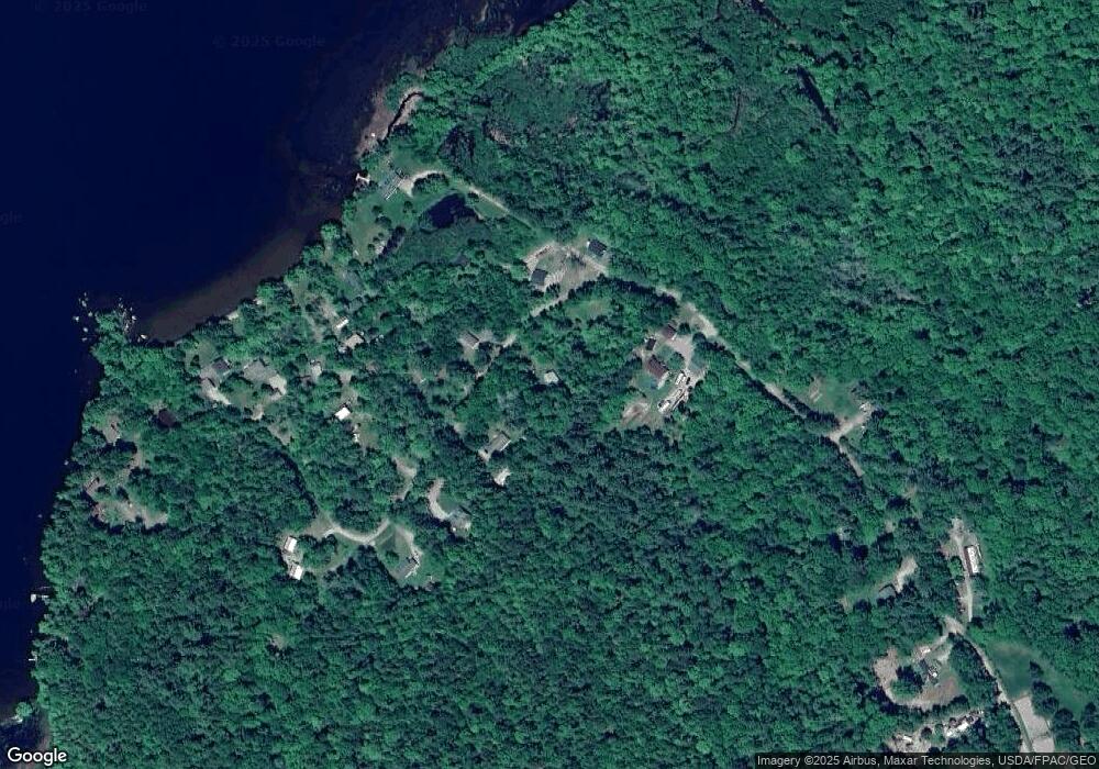
Map
Nearby Homes
- 41 Wildwood Ln
- M4L15&16 Acadia Hwy
- MAP4LOT17 Acadia Hwy
- 0 Meadow Brook Ln
- 160 Front Ridge Rd
- 130 Hartview Cir
- 0 map 7/1 Ebens Trail
- 0 map 7/2 Ebens Trail
- 348 Back Ridge Rd
- 00 Front Ridge Rd
- 155 Long Point Way
- 659 State Route 46
- 12 Mount View Ln
- 7 Grande View Rd
- Lot #11 Russell Hill Rd
- Lot #4 Russell Hill Rd
- Lot #5 Russell Hill Rd
- Lot #2 Russell Hill Rd
- Lot #10 Russell Hill Rd
- Lot #6 Russell Hill Rd
- 121 Powers Dr
- 130 Powers Drive Ln
- 88 Powers Drive Ln
- 14 Boynton Ln
- 133 Powers Drive Ln
- 134 Powers Drive Ln
- 11 Spencer Ln
- 13 Gully Brook Ln
- 15 Spencer Ln
- 0 Lakeview Ln Unit 1116908
- 8 Spencer Ln
- 24 Gully Brook Ln
- 16 Spencer Ln
- 141 Powers Drive Ln
- 0 Spencer Ln
- 144 Powers Drive Ln
- 144 Powers Drive Ln
- 23 Gully Brook Ln
- 163 Powers Drive Ln
- 79 Powers Dr