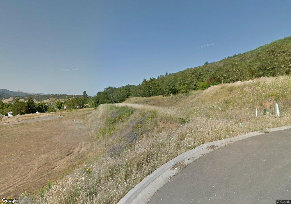
120 Rollin Ct Myrtle Creek, OR 97457
Estimated Value: $326,000 - $450,000
3
Beds
2
Baths
1,592
Sq Ft
$232/Sq Ft
Est. Value
About This Home
This home is located at 120 Rollin Ct, Myrtle Creek, OR 97457 and is currently estimated at $369,975, approximately $232 per square foot. 120 Rollin Ct is a home with nearby schools including South Umpqua High School.
Ownership History
Date
Name
Owned For
Owner Type
Purchase Details
Closed on
Aug 5, 2020
Sold by
Theiss Roland
Bought by
Babcock Bruce and Babcock Lillian
Current Estimated Value
Home Financials for this Owner
Home Financials are based on the most recent Mortgage that was taken out on this home.
Original Mortgage
$36,800
Outstanding Balance
$32,704
Interest Rate
3.1%
Mortgage Type
New Conventional
Estimated Equity
$337,271
Create a Home Valuation Report for This Property
The Home Valuation Report is an in-depth analysis detailing your home's value as well as a comparison with similar homes in the area
Home Values in the Area
Average Home Value in this Area
Purchase History
| Date | Buyer | Sale Price | Title Company |
|---|---|---|---|
| Babcock Bruce | $46,000 | First American Title |
Source: Public Records
Mortgage History
| Date | Status | Borrower | Loan Amount |
|---|---|---|---|
| Open | Babcock Bruce | $36,800 |
Source: Public Records
Tax History Compared to Growth
Tax History
| Year | Tax Paid | Tax Assessment Tax Assessment Total Assessment is a certain percentage of the fair market value that is determined by local assessors to be the total taxable value of land and additions on the property. | Land | Improvement |
|---|---|---|---|---|
| 2024 | $2,392 | $250,963 | -- | -- |
| 2023 | $2,319 | $243,654 | $0 | $0 |
| 2022 | $1,632 | $170,354 | $0 | $0 |
| 2021 | $274 | $31,000 | $0 | $0 |
| 2020 | $226 | $25,500 | $0 | $0 |
| 2019 | $228 | $25,500 | $0 | $0 |
| 2018 | $203 | $22,695 | $0 | $0 |
| 2017 | $235 | $26,265 | $0 | $0 |
| 2016 | $234 | $26,265 | $0 | $0 |
| 2015 | $227 | $25,500 | $0 | $0 |
| 2014 | $235 | $26,520 | $0 | $0 |
| 2013 | -- | $24,225 | $0 | $0 |
Source: Public Records
Map
Nearby Homes
- 972 Arburnia St
- 301 Conrad St
- 1140 Arburnia St
- 193 Clark St
- 1042 Cornutt St
- 190 Walnut St
- 1146 Laura St
- 1048 Seeley St
- 353 Donald Terrace
- 119 Walnut St
- 1030 N Old Pacific Hwy
- 0 N Old Pacific Hwy Unit 293835119
- 1110 N Old Pacific Hwy
- 1313 N Old Pacific Hwy
- 613 Irving Dr
- 639 N Old Pacific Hwy
- 1383 N Old Pacific Hwy
- 497 Wood Crest Dr
- 184 SE Cordelia Dr
- 115 Duane Ct
- 132 Rollin Ct
- 281 Mona St
- 144 Rollin Ct Unit 42
- 0 Mona St
- 110 Rollin Ct
- 109 Rollin Ct
- 109 Rollin Ct Unit 36
- 110 Rollin Ct Unit 37
- 135 Rollin Ct
- 280 Mona St Unit 11
- 0 Clark-Rollin St Unit 21180241
- 121 Rollin Ct
- 359 Clark St Unit 35
- 303 Mona St
- 267 Mona St Unit 25
- 440 Clark St Unit 10
- 382 Clark St
- 347 Clark St Unit 34
- 141 Rollin Ct
- 268 Mona St Unit 9
