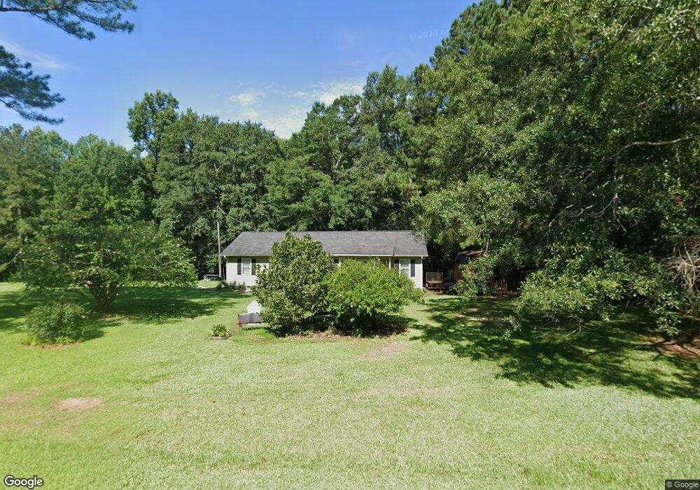
120 S Brooks Rd Lagrange, GA 30240
Estimated Value: $233,424 - $388,000
4
Beds
2
Baths
1,722
Sq Ft
$175/Sq Ft
Est. Value
About This Home
This home is located at 120 S Brooks Rd, Lagrange, GA 30240 and is currently estimated at $300,856, approximately $174 per square foot. 120 S Brooks Rd is a home located in Troup County with nearby schools including Whitesville Road Elementary School, Berta Weathersbee Elementary School, and Long Cane Elementary School.
Ownership History
Date
Name
Owned For
Owner Type
Purchase Details
Closed on
Apr 22, 2008
Sold by
Kinder Regina
Bought by
Kinder Regina and Sievert Angela
Current Estimated Value
Purchase Details
Closed on
Apr 19, 1999
Sold by
Regland S
Bought by
Rhonda Garner
Purchase Details
Closed on
May 12, 1987
Sold by
Irene Minor
Bought by
Regland S
Purchase Details
Closed on
Jan 1, 1971
Sold by
David S Cook
Bought by
Irene Minor
Create a Home Valuation Report for This Property
The Home Valuation Report is an in-depth analysis detailing your home's value as well as a comparison with similar homes in the area
Home Values in the Area
Average Home Value in this Area
Purchase History
| Date | Buyer | Sale Price | Title Company |
|---|---|---|---|
| Kinder Regina | -- | -- | |
| Rhonda Garner | $93,000 | -- | |
| Regland S | $19,000 | -- | |
| Irene Minor | -- | -- |
Source: Public Records
Tax History Compared to Growth
Tax History
| Year | Tax Paid | Tax Assessment Tax Assessment Total Assessment is a certain percentage of the fair market value that is determined by local assessors to be the total taxable value of land and additions on the property. | Land | Improvement |
|---|---|---|---|---|
| 2024 | $1,854 | $69,960 | $17,240 | $52,720 |
| 2023 | $1,725 | $65,240 | $17,240 | $48,000 |
| 2022 | $1,678 | $62,120 | $17,240 | $44,880 |
| 2021 | $1,449 | $50,040 | $14,320 | $35,720 |
| 2020 | $1,352 | $46,800 | $14,320 | $32,480 |
| 2019 | $1,310 | $45,440 | $14,320 | $31,120 |
| 2018 | $1,207 | $42,000 | $14,320 | $27,680 |
| 2017 | $1,207 | $42,000 | $14,320 | $27,680 |
| 2016 | $1,124 | $39,244 | $14,340 | $24,904 |
| 2015 | $1,126 | $39,244 | $14,340 | $24,904 |
| 2014 | $1,088 | $37,933 | $14,340 | $23,593 |
| 2013 | -- | $39,642 | $14,340 | $25,302 |
Source: Public Records
Map
Nearby Homes
- 620 Old Hutchinson Mill Rd
- 0 Whitesville Rd Unit 10496838
- 0 Whitesville Rd Unit 10578327
- 2222 Whitesville Rd
- 2067 Bartley Rd
- 1605 Bartley Rd
- 0 Cannonville Rd
- 660 Bartley Rd
- 3913 Whitesville Rd
- 1808 Murphy Ave
- 22 Freeman Rd
- 311 Tomme Rd
- 1311 Juniper St
- 11.59+/- AC Hunt Rd
- 167 S Kight Dr
- 900 B N Pkwy
- 1301 Polk St
- 205 Grady St
- 1302 Murphy Ave
- 1300 Murphy Ave
- 78 S Brooks Rd
- S S Brooks Rd Unit LOT 8&9
- S S Brooks Rd
- 58 S Brooks Rd
- 146 S Brooks Rd
- 49 S Brooks Rd
- 36 S Brooks Rd
- 685 New Hutchinson Mill Rd
- 703 New Hutchinson Mill Rd
- 647 New Hutchinson Mill Rd
- 667 New Hutchinson Mill Rd
- 26 S Brooks Rd Unit LOT 8&9
- 26 S Brooks Rd
- 721 New Hutchinson Mill Rd
- 714 New Hutchinson Mill Rd
- 765 New Hutchinson Mill Rd
- 530 New Hutchinson Mill Rd
- 1124 Old Hutchinson Mill Rd
- 1126 Old Hutchinson Mill Rd
- 777 New Hutchinson Mill Rd