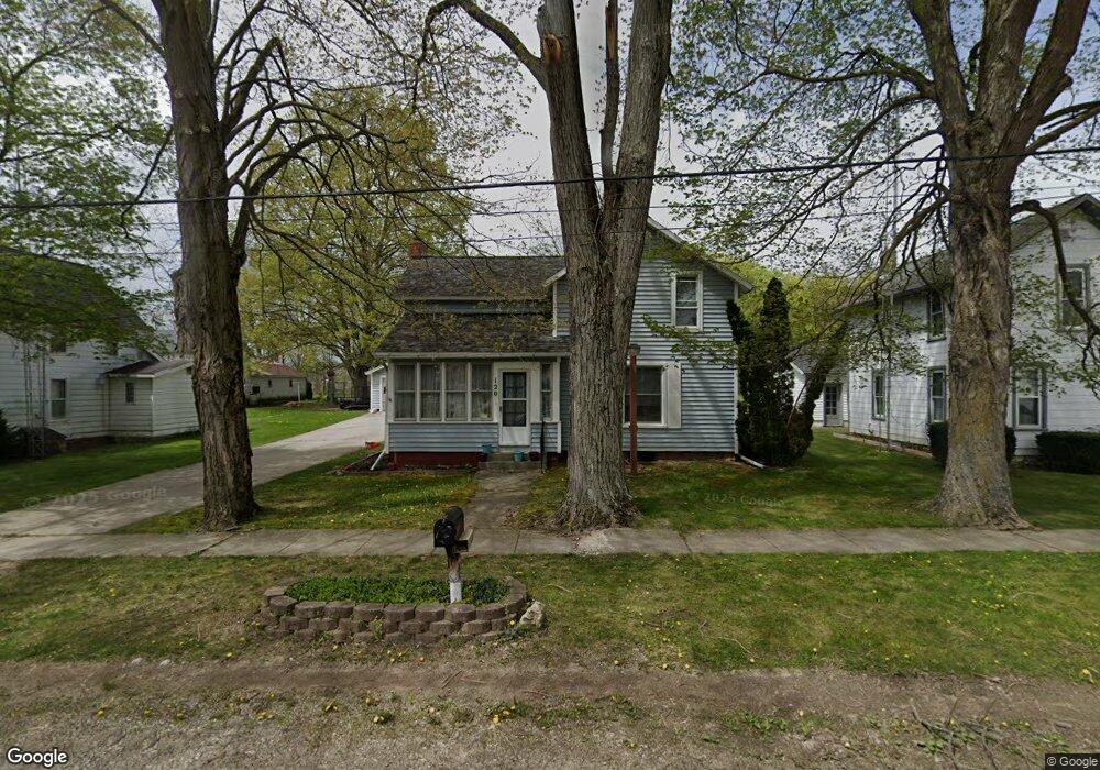
120 S Maple St Onsted, MI 49265
Estimated Value: $168,000 - $219,000
5
Beds
2
Baths
1,898
Sq Ft
$105/Sq Ft
Est. Value
About This Home
This home is located at 120 S Maple St, Onsted, MI 49265 and is currently estimated at $198,700, approximately $104 per square foot. 120 S Maple St is a home located in Lenawee County with nearby schools including Onsted Elementary School, Onsted Middle School, and Onsted Community High School.
Ownership History
Date
Name
Owned For
Owner Type
Purchase Details
Closed on
Mar 13, 2008
Sold by
Deutsche Bank National Trust Co
Bought by
Chase Elizabeth
Current Estimated Value
Home Financials for this Owner
Home Financials are based on the most recent Mortgage that was taken out on this home.
Original Mortgage
$69,900
Outstanding Balance
$43,663
Interest Rate
5.79%
Mortgage Type
New Conventional
Estimated Equity
$155,037
Purchase Details
Closed on
Apr 26, 2007
Sold by
Kraft Ronald C and Kraft Bernice F
Bought by
Deutsch Bank National Trust Co
Create a Home Valuation Report for This Property
The Home Valuation Report is an in-depth analysis detailing your home's value as well as a comparison with similar homes in the area
Purchase History
| Date | Buyer | Sale Price | Title Company |
|---|---|---|---|
| Chase Elizabeth | $69,900 | Attorneys Title Agency Llc | |
| Deutsch Bank National Trust Co | $131,758 | None Available |
Source: Public Records
Mortgage History
| Date | Status | Borrower | Loan Amount |
|---|---|---|---|
| Open | Chase Elizabeth | $69,900 |
Source: Public Records
Tax History
| Year | Tax Paid | Tax Assessment Tax Assessment Total Assessment is a certain percentage of the fair market value that is determined by local assessors to be the total taxable value of land and additions on the property. | Land | Improvement |
|---|---|---|---|---|
| 2025 | $1,615 | $87,300 | $0 | $0 |
| 2024 | $13 | $88,000 | $0 | $0 |
| 2022 | $2,953 | $68,800 | $0 | $0 |
| 2021 | $1,993 | $61,000 | $0 | $0 |
| 2020 | $1,928 | $59,200 | $0 | $0 |
| 2019 | $143,212 | $51,600 | $0 | $0 |
| 2018 | $1,754 | $51,552 | $0 | $0 |
| 2017 | $1,675 | $52,421 | $0 | $0 |
| 2016 | $1,665 | $48,992 | $0 | $0 |
| 2014 | -- | $46,890 | $0 | $0 |
Source: Public Records
Map
Nearby Homes
- 116 W Fourth St
- 120 Stoli Ct
- 409 Connor St
- 7231 Onsted Hwy
- 10000 Stephenson Rd Blk Rd
- 8826 Irish Mist
- 0 Castlebar Ln Unit 25054904
- Lot 2 Walsh Ct
- 8000 Slee Rd
- 8812 Walsh Ct
- 8266 Irish Mist
- 10000 Blk Sheeler Rd
- 8443 Stephenson Rd
- 8079 Wadding Dr
- 7905 Wadding Dr
- 7831 Barron Ct
- 7604 Sherlock Dr
- 7966 Kingsley Dr
- 10093 Shepherd Rd
- 10000 W M-50 Block
- 116 S Maple St
- 121 W Fourth St
- 117 W 4th St
- 120 W 4th St
- 115 W Fourth St Unit FOURTH
- 115 W Fourth St
- 115 W 4th St Unit FOURTH
- 115 W 4th St
- 116 W 4th St
- 112 S Maple St
- 112 W Fourth St
- 121 W 4th St
- 121 W 4th St
- 219 S Maple St
- 112 W 4th St
- 221 S Maple St
- 108 S Maple St
- 204 S Main St
- 204 S Main St Unit 204 Main
- 225 S Maple St
Your Personal Tour Guide
Ask me questions while you tour the home.