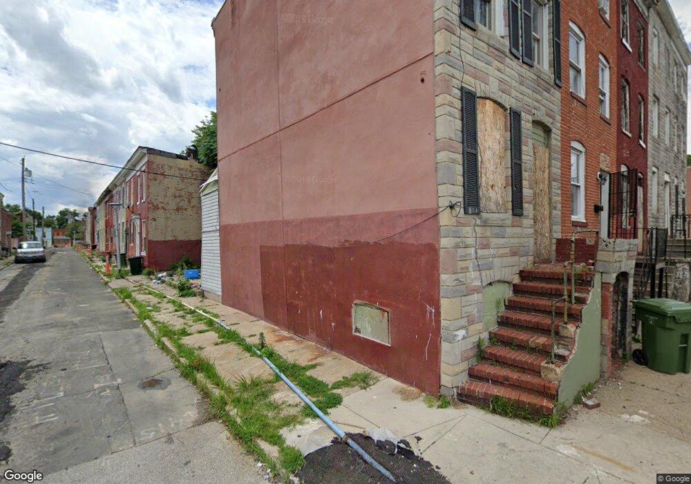
120 S Monroe St Baltimore, MD 21223
Estimated Value: $136,000 - $232,608
3
Beds
1
Bath
--
Sq Ft
871
Sq Ft
About This Home
This home is located at 120 S Monroe St, Baltimore, MD 21223 and is currently estimated at $184,304. 120 S Monroe St is a home located in Baltimore City with nearby schools including Booker T. Washington Middle School, Frederick Douglass High School, and Digital Harbor High School.
Ownership History
Date
Name
Owned For
Owner Type
Purchase Details
Closed on
Jun 27, 2003
Sold by
Makinde Olaolu
Bought by
Anwuri George
Current Estimated Value
Purchase Details
Closed on
Nov 20, 2002
Sold by
Naik Anadi
Bought by
Makinde Olaolu
Purchase Details
Closed on
Mar 22, 1999
Sold by
Maryland Housing Fund
Bought by
Naik Anadi
Purchase Details
Closed on
Jun 8, 1994
Sold by
Sizemore M L
Bought by
Mills Leonard W
Home Financials for this Owner
Home Financials are based on the most recent Mortgage that was taken out on this home.
Original Mortgage
$39,900
Interest Rate
8.29%
Create a Home Valuation Report for This Property
The Home Valuation Report is an in-depth analysis detailing your home's value as well as a comparison with similar homes in the area
Purchase History
| Date | Buyer | Sale Price | Title Company |
|---|---|---|---|
| Anwuri George | $65,000 | -- | |
| Makinde Olaolu | $15,500 | -- | |
| Naik Anadi | $500 | -- | |
| Maryland Housing Fund | $32,000 | -- | |
| Mills Leonard W | $39,900 | -- |
Source: Public Records
Mortgage History
| Date | Status | Borrower | Loan Amount |
|---|---|---|---|
| Previous Owner | Mills Leonard W | $39,900 |
Source: Public Records
Tax History
| Year | Tax Paid | Tax Assessment Tax Assessment Total Assessment is a certain percentage of the fair market value that is determined by local assessors to be the total taxable value of land and additions on the property. | Land | Improvement |
|---|---|---|---|---|
| 2025 | $642 | $31,667 | -- | -- |
| 2024 | $642 | $27,333 | -- | -- |
| 2023 | $540 | $23,000 | $4,000 | $19,000 |
| 2022 | $480 | $20,333 | $0 | $0 |
| 2021 | $417 | $17,667 | $0 | $0 |
| 2020 | $354 | $15,000 | $3,000 | $12,000 |
| 2019 | $352 | $15,000 | $3,000 | $12,000 |
| 2018 | $354 | $15,000 | $3,000 | $12,000 |
| 2017 | $354 | $15,000 | $0 | $0 |
| 2016 | $355 | $15,000 | $0 | $0 |
| 2015 | $355 | $15,000 | $0 | $0 |
| 2014 | $355 | $15,000 | $0 | $0 |
Source: Public Records
Map
Nearby Homes
- 1917 Lemmon St
- 101 S Payson St
- 1933 W Pratt St
- 103 S Payson St
- 1930 Frederick Ave
- 1811 W Lombard St
- 1921 Hollins St
- 1809 W Lombard St
- 1822 Dover St
- 1820 Dover St
- 52 S Fulton Ave
- 40 S Fulton Ave
- 1822 Mchenry St
- 107 S Fulton Ave
- 55 S Fulton Ave
- 51 S Fulton Ave
- 202 Harmison St
- 1719 W Lombard St
- 2032 W Pratt St
- 1819 Mchenry St
- 118 S Monroe St
- 116 S Monroe St
- 114 S Monroe St
- 122 S Monroe St
- 1902 Lemmon St
- 112 S Monroe St
- 124 S Monroe St
- 1904 Lemmon St
- 110 S Monroe St
- 126 S Monroe St
- 1906 Lemmon St
- 108 S Monroe St
- 130 S Monroe St
- 1903 Lemmon St
- 128 S Monroe St
- 1908 Lemmon St
- 106 S Monroe St
- 1905 Lemmon St
- 1907 Lemmon St
- 1910 Lemmon St
Your Personal Tour Guide
Ask me questions while you tour the home.