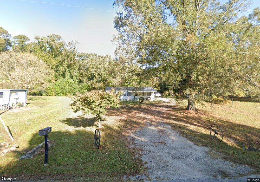
120 S Page Rd Clarkton, NC 28433
Estimated Value: $54,000 - $116,000
--
Bed
--
Bath
1,356
Sq Ft
$52/Sq Ft
Est. Value
About This Home
This home is located at 120 S Page Rd, Clarkton, NC 28433 and is currently estimated at $70,024, approximately $51 per square foot. 120 S Page Rd is a home with nearby schools including B T Washington Primary, Clarkton School of Discovery, and West Bladen High School.
Ownership History
Date
Name
Owned For
Owner Type
Purchase Details
Closed on
Jul 19, 2018
Sold by
Jessup Gary A and Wiggins Jackie
Bought by
Wilson Lois D
Current Estimated Value
Purchase Details
Closed on
Feb 22, 2013
Sold by
Wilson Thomas Eugene and Wilson Lois Duncan
Bought by
Jessup Gary Armstead and Wiggins Jackie
Home Financials for this Owner
Home Financials are based on the most recent Mortgage that was taken out on this home.
Original Mortgage
$22,500
Interest Rate
3.43%
Mortgage Type
Purchase Money Mortgage
Create a Home Valuation Report for This Property
The Home Valuation Report is an in-depth analysis detailing your home's value as well as a comparison with similar homes in the area
Home Values in the Area
Average Home Value in this Area
Purchase History
| Date | Buyer | Sale Price | Title Company |
|---|---|---|---|
| Wilson Lois D | $20,000 | -- | |
| Jessup Gary Armstead | $25,000 | None Available |
Source: Public Records
Mortgage History
| Date | Status | Borrower | Loan Amount |
|---|---|---|---|
| Previous Owner | Jessup Gary Armstead | $22,500 |
Source: Public Records
Tax History Compared to Growth
Tax History
| Year | Tax Paid | Tax Assessment Tax Assessment Total Assessment is a certain percentage of the fair market value that is determined by local assessors to be the total taxable value of land and additions on the property. | Land | Improvement |
|---|---|---|---|---|
| 2025 | $244 | $31,070 | $5,550 | $25,520 |
| 2024 | $244 | $31,070 | $5,550 | $25,520 |
| 2023 | $241 | $31,070 | $5,550 | $25,520 |
| 2022 | $244 | $31,070 | $5,550 | $25,520 |
| 2021 | $64 | $7,850 | $5,550 | $2,300 |
| 2020 | $64 | $7,850 | $5,550 | $2,300 |
| 2019 | $205 | $25,000 | $5,550 | $19,450 |
| 2018 | $205 | $25,000 | $5,550 | $19,450 |
| 2017 | $2 | $25,000 | $5,550 | $19,450 |
| 2015 | $97 | $25,000 | $5,550 | $19,450 |
| 2014 | $97 | $13,110 | $9,500 | $3,610 |
| 2013 | -- | $13,110 | $9,500 | $3,610 |
Source: Public Records
Map
Nearby Homes
- 0 S West R Latham St
- 533 N Singletary St
- 40 Ella Bell Rd
- 91 N Elmhurst St
- 153 Hillside St
- Lot # 3 Hillside St
- Lot # 4 Hillside St
- Off of Red Hill Rd Unit LotWP003
- 193 Peach St
- 2093 Burney Ford Rd
- 2639 Nc Highway 211 E
- 3458 N Mitchell Ford Rd
- 0 Near James B White Hwy N
- 14962 Twisted Hickory Rd
- 309 Pridgen Acre Dr
- 8941 Red Hill Rd
- 2808 Farmers Union Rd
- 284 Irene Dr
- 0 Mable Spaulding Rd
- 1645 Harrelson Rd