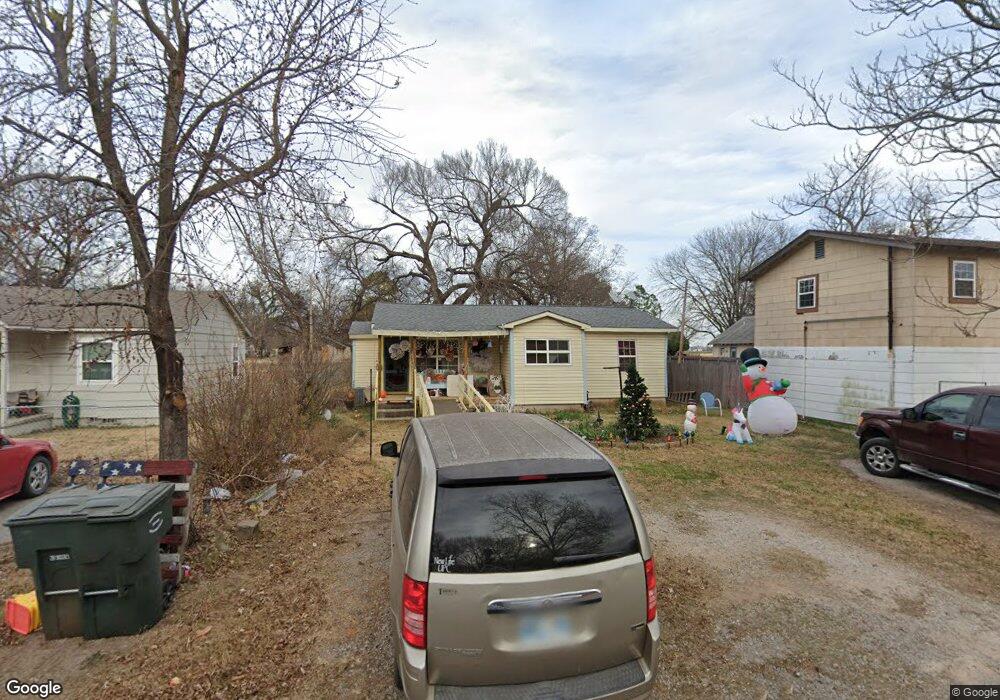
120 S Pear St Pauls Valley, OK 73075
Estimated Value: $82,000 - $100,000
2
Beds
1
Bath
992
Sq Ft
$90/Sq Ft
Est. Value
About This Home
This home is located at 120 S Pear St, Pauls Valley, OK 73075 and is currently estimated at $89,687, approximately $90 per square foot. 120 S Pear St is a home with nearby schools including Pauls Valley Elementary School, Pauls Valley Intermediate School, and Jackson Elementary School.
Ownership History
Date
Name
Owned For
Owner Type
Purchase Details
Closed on
Dec 27, 2019
Sold by
Adam Wilmer R and Adam Linda B
Bought by
Oklahoma Heritage Bank
Current Estimated Value
Home Financials for this Owner
Home Financials are based on the most recent Mortgage that was taken out on this home.
Original Mortgage
$33,861
Outstanding Balance
$15,888
Interest Rate
3.6%
Mortgage Type
New Conventional
Estimated Equity
$73,799
Purchase Details
Closed on
Feb 24, 2012
Sold by
The New Life United Pentecostal Church I
Bought by
Adam Wilmer Robert and Adam Linda Farrel
Create a Home Valuation Report for This Property
The Home Valuation Report is an in-depth analysis detailing your home's value as well as a comparison with similar homes in the area
Home Values in the Area
Average Home Value in this Area
Purchase History
| Date | Buyer | Sale Price | Title Company |
|---|---|---|---|
| Oklahoma Heritage Bank | $33,861 | None Available | |
| Adam Wilmer Robert | -- | None Available |
Source: Public Records
Mortgage History
| Date | Status | Borrower | Loan Amount |
|---|---|---|---|
| Open | Oklahoma Heritage Bank | $33,861 |
Source: Public Records
Tax History Compared to Growth
Tax History
| Year | Tax Paid | Tax Assessment Tax Assessment Total Assessment is a certain percentage of the fair market value that is determined by local assessors to be the total taxable value of land and additions on the property. | Land | Improvement |
|---|---|---|---|---|
| 2024 | $334 | $4,362 | $569 | $3,793 |
| 2023 | $334 | $4,235 | $566 | $3,669 |
| 2022 | $301 | $4,111 | $563 | $3,548 |
| 2021 | $299 | $3,992 | $560 | $3,432 |
| 2020 | $391 | $3,876 | $540 | $3,336 |
| 2019 | $382 | $3,691 | $508 | $3,183 |
| 2018 | $355 | $3,515 | $468 | $3,047 |
| 2017 | $289 | $3,348 | $277 | $3,071 |
| 2016 | $298 | $3,454 | $277 | $3,177 |
| 2015 | $306 | $3,488 | $277 | $3,211 |
| 2014 | $302 | $3,434 | $277 | $3,157 |
Source: Public Records
Map
Nearby Homes
- 116 S Locust St
- 615 E Charles Ave
- 213 S Elm St
- 1113 Evergreen Dr
- 120 S Cherry St
- 400 E Wagner Ave
- 420 N Elm St
- 718 N Santa fe St
- 730 N Santa fe St
- 601 N Walnut St
- 804 N Willow St
- 813 N Willow St
- 220 S Edith Ave
- 201 S Oak St
- 202 W Lee St
- 219 N Cedar St
- 828 N Pine St
- 1006 S Chickasaw St
- 311 S Bertha Ave
- 425 Mohawk Dr
- 116 S Pear St
- 805 E Charles Ave
- 803 E Charles Ave
- 106 S Pear St
- 115 S Spruce St
- 127 S Pear St
- 117 S Pear St
- 113 S Spruce St
- 115 S Pear St
- 104 S Pear St
- 815 E Charles Ave
- 212 S Pear St
- 109 S Pear St
- 812 E Wagner Ave
- 103 S Pear St
- 711 E Charles Ave
- 816 E Wagner Ave
- 203 S Spruce St
- 201 S Pear St
- 214 S Pear St