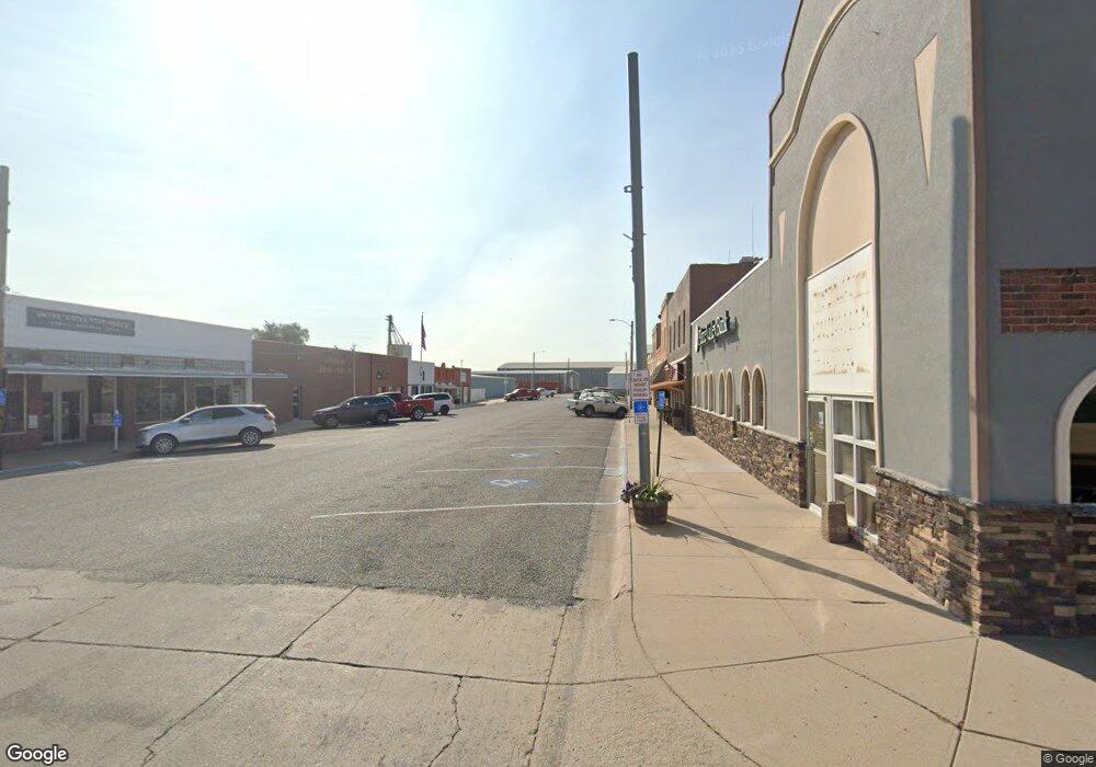
120 S1 Rd Morrill, NE 69358
Estimated Value: $228,329 - $249,000
3
Beds
2
Baths
1,632
Sq Ft
$146/Sq Ft
Est. Value
About This Home
This home is located at 120 S1 Rd, Morrill, NE 69358 and is currently estimated at $238,110, approximately $145 per square foot. 120 S1 Rd is a home located in Sioux County with nearby schools including Morrill Elementary School and Morrill High School.
Create a Home Valuation Report for This Property
The Home Valuation Report is an in-depth analysis detailing your home's value as well as a comparison with similar homes in the area
Home Values in the Area
Average Home Value in this Area
Tax History Compared to Growth
Tax History
| Year | Tax Paid | Tax Assessment Tax Assessment Total Assessment is a certain percentage of the fair market value that is determined by local assessors to be the total taxable value of land and additions on the property. | Land | Improvement |
|---|---|---|---|---|
| 2024 | $385 | $144,008 | $26,260 | $117,748 |
| 2023 | $1,455 | $141,008 | $23,260 | $117,748 |
| 2022 | $1,936 | $141,008 | $23,260 | $117,748 |
| 2021 | $2,157 | $148,747 | $20,760 | $127,987 |
| 2020 | $2,140 | $148,747 | $20,760 | $127,987 |
| 2019 | $1,956 | $148,747 | $20,760 | $127,987 |
| 2018 | $1,293 | $148,747 | $20,760 | $127,987 |
| 2017 | $1,075 | $142,528 | $20,760 | $121,768 |
| 2016 | $1,079 | $142,783 | $21,015 | $121,768 |
| 2015 | $1,938 | $139,108 | $19,728 | $119,380 |
| 2014 | -- | $130,265 | $19,728 | $110,537 |
Source: Public Records
Map
Nearby Homes
- 413 Highway 26 E
- 20084 Holloway Rd
- 0 Tbd Holloway Rd
- 0 County Rd E
- 5779 Road 56
- 0 Tbd Railroad Rd
- 6156 Road 52
- 30057 County Road 7
- 30057 Cr 7
- 127 Arrowhead Rd
- 113 Arrowhead Rd
- 401 W P St
- 70141 Randall Ln
- 213 10th Ave
- 112 9th Ave
- 5887 & 5879 Maverick Ridge Rd
- 707 2nd Ave
- 5865 Lariat Loop
- 0 S 4 Rd
- 315 Jackson Ct
