120 Shanes Ln Weatherford, TX 76087
Estimated Value: $919,000
4
Beds
6
Baths
4,905
Sq Ft
$187/Sq Ft
Est. Value
About This Home
This home is located at 120 Shanes Ln, Weatherford, TX 76087 and is currently estimated at $919,000, approximately $187 per square foot. 120 Shanes Ln is a home located in Parker County with nearby schools including Curtis Elementary School, Hall Middle School, and Weatherford High School.
Ownership History
Date
Name
Owned For
Owner Type
Purchase Details
Closed on
Jul 8, 2016
Sold by
Lankford Buford B
Bought by
Srps Investments Llc
Current Estimated Value
Purchase Details
Closed on
Mar 2, 2010
Sold by
Lankford Buford B and Lankford Daina
Bought by
Srps Investments Llc
Purchase Details
Closed on
May 16, 2002
Sold by
Lankford Lankford B and Lankford Bette
Bought by
Srps Investments Llc
Purchase Details
Closed on
Jan 1, 1901
Bought by
Srps Investments Llc
Create a Home Valuation Report for This Property
The Home Valuation Report is an in-depth analysis detailing your home's value as well as a comparison with similar homes in the area
Home Values in the Area
Average Home Value in this Area
Purchase History
| Date | Buyer | Sale Price | Title Company |
|---|---|---|---|
| Srps Investments Llc | -- | None Available | |
| Lankford Buford B | -- | Attorney | |
| Srps Investments Llc | -- | -- | |
| Lankford Buford B | -- | None Available | |
| Srps Investments Llc | -- | -- | |
| Srps Investments Llc | -- | -- |
Source: Public Records
Mortgage History
| Date | Status | Borrower | Loan Amount |
|---|---|---|---|
| Closed | Lankford Buford B | $0 |
Source: Public Records
Tax History Compared to Growth
Tax History
| Year | Tax Paid | Tax Assessment Tax Assessment Total Assessment is a certain percentage of the fair market value that is determined by local assessors to be the total taxable value of land and additions on the property. | Land | Improvement |
|---|---|---|---|---|
| 2025 | $15,027 | $985,700 | $91,440 | $894,260 |
| 2024 | $15,027 | $922,430 | $74,270 | $848,160 |
| 2023 | $15,027 | $922,430 | $74,270 | $848,160 |
| 2022 | $9,621 | $516,740 | $46,840 | $469,900 |
| 2021 | $10,431 | $516,740 | $46,840 | $469,900 |
| 2020 | $10,475 | $516,450 | $46,550 | $469,900 |
| 2019 | $11,175 | $516,450 | $46,550 | $469,900 |
| 2018 | $11,356 | $522,080 | $44,140 | $477,940 |
| 2017 | $11,588 | $522,080 | $44,140 | $477,940 |
| 2016 | $10,296 | $463,850 | $33,910 | $429,940 |
| 2015 | $9,789 | $463,850 | $33,910 | $429,940 |
| 2014 | $8,481 | $429,200 | $33,910 | $395,290 |
Source: Public Records
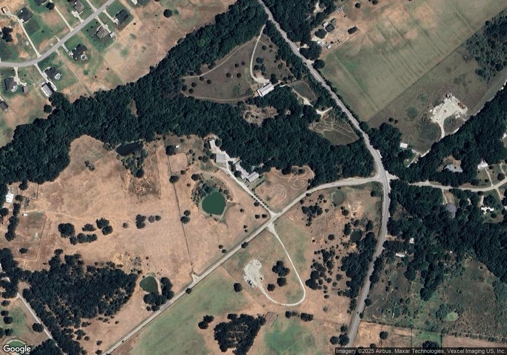
Map
Nearby Homes
- 1009 Old Oaks Ct
- 1041 Old Oaks Ct
- 1008 Old Oaks Ct
- TBD Shanes Ln
- 8135 Floor Plan at Old Oaks
- 8136 Floor Plan at Old Oaks
- 8137 Floor Plan at Old Oaks
- 8130 Floor Plan at Old Oaks
- 8125 Floor Plan at Old Oaks
- 8108 EP Floor Plan at Old Oaks
- 8126 Floor Plan at Old Oaks
- 8113 Floor Plan at Old Oaks
- 8121 Floor Plan at Old Oaks
- 325 Kelly Brook Cir
- 109 N Silver Saddle Trail
- 108 N Silver Saddle Trail
- 800 Purselly Ct
- 3952 Tin Top Rd
- 269 Harmony Rd
- 2001 Pinetree Post
- 3566 Tin Top Rd
- 3557 Tin Top Rd
- 3629 Tin Top Rd
- 103 Kinbrook Ln
- 101 Kinbrook Ln
- 100 Kinbrook Ln
- 102 Kinbrook Ln
- 115 Kinbrook Ln
- 1039 Moriah Rd
- 1013 Moriah Rd
- 1043 Moriah Rd
- 1008 Moriah Rd
- 1029 Moriah Rd
- 1048 Moriah Rd
- 1044 Moriah Rd
- 1012 Moriah Rd
- 1028 Moriah Rd
- 1032 Moriah Rd
- 1040 Moriah Rd
- 1000 Moriah Rd