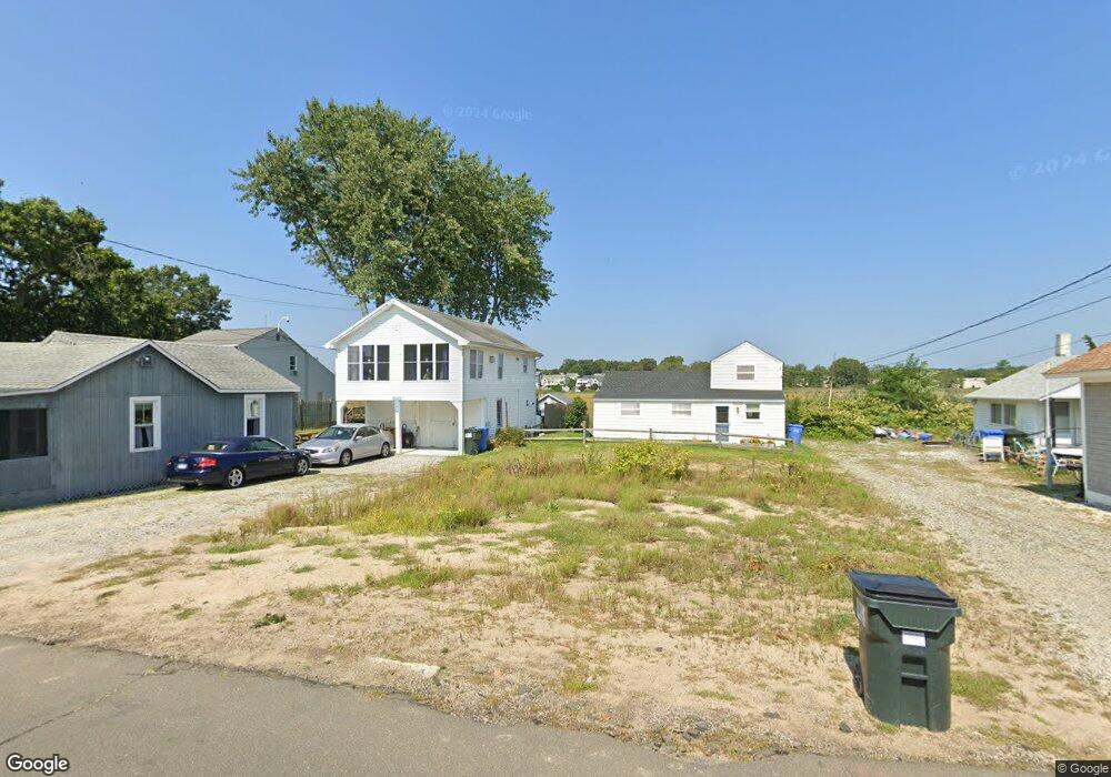
120 Shore Rd Clinton, CT 06413
Estimated Value: $942,000 - $1,170,392
4
Beds
3
Baths
2,290
Sq Ft
$448/Sq Ft
Est. Value
About This Home
This home is located at 120 Shore Rd, Clinton, CT 06413 and is currently estimated at $1,026,598, approximately $448 per square foot. 120 Shore Rd is a home located in Middlesex County with nearby schools including Lewin G. Joel Jr. School, The Morgan School, and Oxford Academy.
Ownership History
Date
Name
Owned For
Owner Type
Purchase Details
Closed on
Apr 6, 2023
Sold by
Cariati Elain
Bought by
Cariati Family Lp
Current Estimated Value
Purchase Details
Closed on
Jun 24, 2022
Sold by
Smarten Living Co Llc
Bought by
Wiafe Stanley
Home Financials for this Owner
Home Financials are based on the most recent Mortgage that was taken out on this home.
Original Mortgage
$363,700
Interest Rate
5.1%
Mortgage Type
Stand Alone Refi Refinance Of Original Loan
Create a Home Valuation Report for This Property
The Home Valuation Report is an in-depth analysis detailing your home's value as well as a comparison with similar homes in the area
Home Values in the Area
Average Home Value in this Area
Purchase History
| Date | Buyer | Sale Price | Title Company |
|---|---|---|---|
| Cariati Family Lp | -- | None Available | |
| Cariati Family Lp | -- | None Available | |
| Wiafe Stanley | -- | None Available | |
| Wiafe Stanley | -- | None Available |
Source: Public Records
Mortgage History
| Date | Status | Borrower | Loan Amount |
|---|---|---|---|
| Previous Owner | Wiafe Stanley | $363,700 |
Source: Public Records
Tax History Compared to Growth
Tax History
| Year | Tax Paid | Tax Assessment Tax Assessment Total Assessment is a certain percentage of the fair market value that is determined by local assessors to be the total taxable value of land and additions on the property. | Land | Improvement |
|---|---|---|---|---|
| 2025 | $10,430 | $334,937 | $168,437 | $166,500 |
| 2024 | $5,097 | $168,437 | $168,437 | $0 |
| 2023 | $5,024 | $168,437 | $168,437 | $0 |
| 2022 | $6,030 | $202,137 | $168,437 | $33,700 |
| 2021 | $5,492 | $184,100 | $141,500 | $42,600 |
| 2020 | $5,753 | $184,100 | $141,500 | $42,600 |
| 2019 | $5,753 | $184,100 | $141,500 | $42,600 |
| 2018 | $5,622 | $184,100 | $141,500 | $42,600 |
| 2017 | $5,506 | $184,100 | $141,500 | $42,600 |
| 2016 | $4,996 | $184,100 | $141,500 | $42,600 |
| 2015 | $5,694 | $212,700 | $145,600 | $67,100 |
| 2014 | $5,588 | $212,700 | $145,600 | $67,100 |
Source: Public Records
Map
Nearby Homes
- 144 Shore Rd
- 153 Shore Rd Unit 2
- 280 E Main St Unit E6
- 280 E Main St Unit A2
- 176 Shore Rd
- 0 Causeway
- 18 Tidewater Ln Unit 18
- 6 Kingfisher Ln
- 6 Osprey Commons
- 1 Osprey Commons S
- 50 & 61 Grove Way
- 7 Osprey Commons S
- 0 E Main St
- 59 Founders Village
- 192 E Main St
- 31 Founders Village
- 30 Sols Point Rd
- 21 West Walk
- 18 Hammock Rd
- 20 Hammock Rd