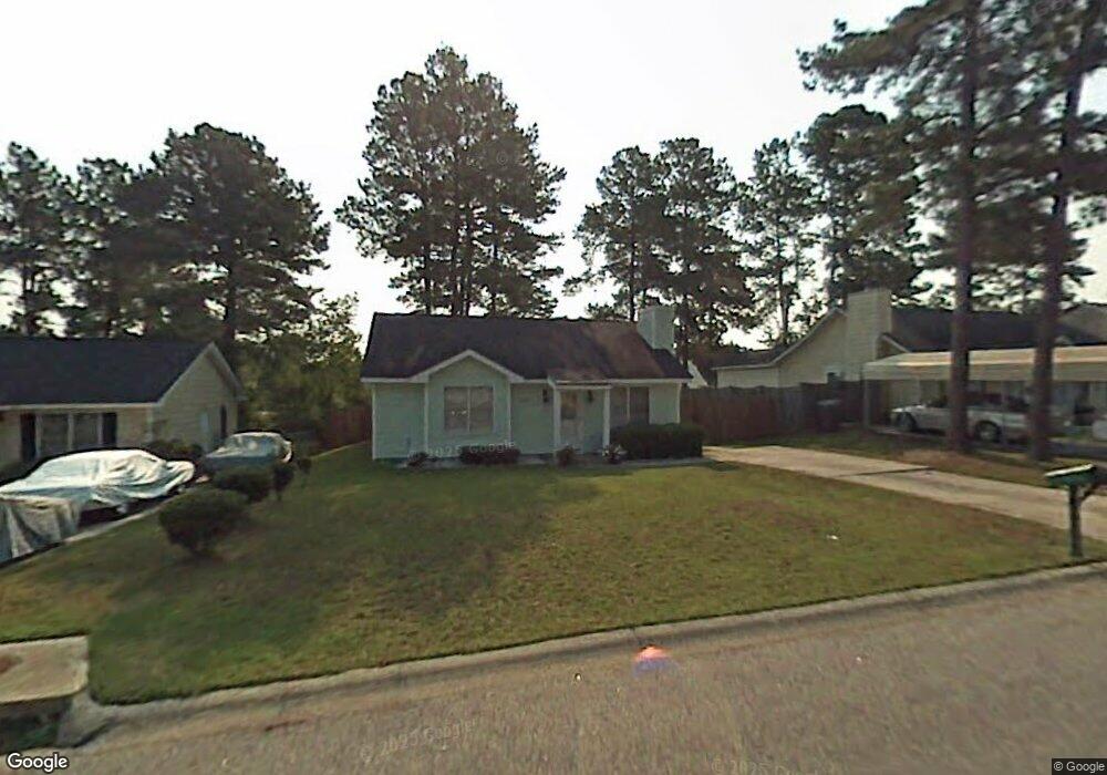
120 Spreading Branch Dr Hopkins, SC 29061
Estimated Value: $127,000 - $167,000
2
Beds
1
Bath
963
Sq Ft
$150/Sq Ft
Est. Value
About This Home
This home is located at 120 Spreading Branch Dr, Hopkins, SC 29061 and is currently estimated at $144,823, approximately $150 per square foot. 120 Spreading Branch Dr is a home located in Richland County with nearby schools including Horrell Hill Elementary School, Southeast Middle School, and Lower Richland High School.
Ownership History
Date
Name
Owned For
Owner Type
Purchase Details
Closed on
Jun 2, 2015
Sold by
Bass Julia A
Bought by
Bass-Carree Julia A and Bass-Carree B
Current Estimated Value
Purchase Details
Closed on
Apr 19, 2000
Sold by
Snipes Michael J
Bought by
Bass Julia A
Home Financials for this Owner
Home Financials are based on the most recent Mortgage that was taken out on this home.
Original Mortgage
$54,150
Interest Rate
8.24%
Mortgage Type
FHA
Create a Home Valuation Report for This Property
The Home Valuation Report is an in-depth analysis detailing your home's value as well as a comparison with similar homes in the area
Home Values in the Area
Average Home Value in this Area
Purchase History
| Date | Buyer | Sale Price | Title Company |
|---|---|---|---|
| Bass-Carree Julia A | -- | -- | |
| Bass Julia A | $54,300 | -- |
Source: Public Records
Mortgage History
| Date | Status | Borrower | Loan Amount |
|---|---|---|---|
| Previous Owner | Bass Julia A | $54,150 | |
| Closed | Bass Julia A | $92,200 |
Source: Public Records
Tax History Compared to Growth
Tax History
| Year | Tax Paid | Tax Assessment Tax Assessment Total Assessment is a certain percentage of the fair market value that is determined by local assessors to be the total taxable value of land and additions on the property. | Land | Improvement |
|---|---|---|---|---|
| 2024 | $595 | $33,300 | $0 | $0 |
| 2023 | $559 | $1,160 | $0 | $0 |
| 2022 | $541 | $29,000 | $6,300 | $22,700 |
| 2021 | $520 | $1,160 | $0 | $0 |
| 2020 | $525 | $1,160 | $0 | $0 |
| 2019 | $490 | $1,160 | $0 | $0 |
| 2018 | $431 | $1,010 | $0 | $0 |
| 2017 | $426 | $1,010 | $0 | $0 |
| 2016 | $425 | $1,010 | $0 | $0 |
| 2015 | $419 | $1,010 | $0 | $0 |
| 2014 | $412 | $25,200 | $0 | $0 |
| 2013 | -- | $1,010 | $0 | $0 |
Source: Public Records
Map
Nearby Homes
- 200 Raintree Ln
- 207 Flowerwood Dr
- 248 Flowerwood Dr
- 213 Spreading Branch Dr
- 413 Greenlake Dr
- 131 Kingfield Dr
- 144 Kingfield Dr
- 141 Kingfield Dr
- The Upton Plan at Essence at Chestnut Ridge North
- The Melrose Plan at Essence at Chestnut Ridge North
- The Teagan Plan at Essence at Chestnut Ridge North
- The Nichols Plan at Essence at Chestnut Ridge North
- The Irving Plan at Essence at Chestnut Ridge North
- The Julep Plan at Essence at Chestnut Ridge North
- 212 Flint Ridge Dr
- 127 Kingfield Dr
- 216 Flint Ridge Dr
- 126 Kingfield Dr
- 118 Kingfield Dr
- 136 Kingfield Dr
- 116 Spreading Branch Dr
- 124 Spreading Branch Dr
- 112 Spreading Branch Dr
- 128 Spreading Branch Dr
- 209 Raintree Ln
- 201 Raintree Ln
- 121 Spreading Branch Dr
- 213 Raintree Ln
- 125 Spreading Branch Dr
- 108 Spreading Branch Dr
- 117 Spreading Branch Dr
- 132 Spreading Branch Dr
- 113 Spreading Branch Dr
- 129 Spreading Branch Dr
- 145 Raintree Ln
- 121 Raintree Ln
- 109 Spreading Branch Dr
- 133 Spreading Branch Dr
- 104 Spreading Branch Dr
- 136 Spreading Branch Dr