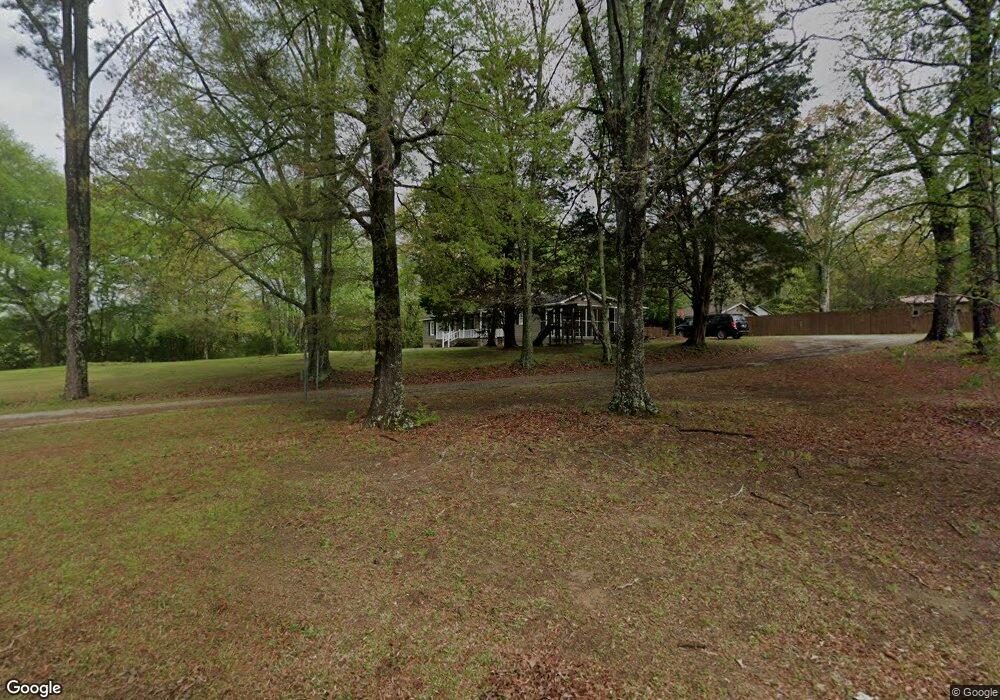
120 Stephens Rd Cedartown, GA 30125
Estimated Value: $263,000 - $285,440
3
Beds
3
Baths
1,428
Sq Ft
$193/Sq Ft
Est. Value
About This Home
This home is located at 120 Stephens Rd, Cedartown, GA 30125 and is currently estimated at $275,110, approximately $192 per square foot. 120 Stephens Rd is a home located in Polk County with nearby schools including Vineyard Harvester Christian Academy.
Ownership History
Date
Name
Owned For
Owner Type
Purchase Details
Closed on
Mar 31, 2011
Sold by
Rowell Diane Kathy Hunt
Bought by
Giles Freddie Wayne and Giles Terri A
Current Estimated Value
Purchase Details
Closed on
Oct 4, 2005
Sold by
Giles Freddie Wayne
Bought by
Giles Freddie Wayne and Giles Terri A
Purchase Details
Closed on
Jul 18, 1980
Sold by
Giles Fred
Bought by
Giles Fred Wayne
Purchase Details
Closed on
May 9, 1979
Sold by
Brown Leroy I
Bought by
Giles Fred
Purchase Details
Closed on
May 1, 1979
Bought by
Brown Leroy I
Purchase Details
Closed on
Mar 1, 1954
Bought by
Jandus Alice Mrs
Create a Home Valuation Report for This Property
The Home Valuation Report is an in-depth analysis detailing your home's value as well as a comparison with similar homes in the area
Home Values in the Area
Average Home Value in this Area
Purchase History
| Date | Buyer | Sale Price | Title Company |
|---|---|---|---|
| Giles Freddie Wayne | -- | -- | |
| Giles Freddie Wayne | -- | -- | |
| Giles Fred Wayne | -- | -- | |
| Giles Fred | -- | -- | |
| Brown Leroy I | -- | -- | |
| Jandus Alice Mrs | -- | -- |
Source: Public Records
Tax History Compared to Growth
Tax History
| Year | Tax Paid | Tax Assessment Tax Assessment Total Assessment is a certain percentage of the fair market value that is determined by local assessors to be the total taxable value of land and additions on the property. | Land | Improvement |
|---|---|---|---|---|
| 2024 | $1,466 | $72,131 | $2,625 | $69,506 |
| 2023 | $1,099 | $48,313 | $2,625 | $45,688 |
| 2022 | $937 | $41,476 | $1,750 | $39,726 |
| 2021 | $949 | $41,476 | $1,750 | $39,726 |
| 2020 | $951 | $41,476 | $1,750 | $39,726 |
| 2019 | $671 | $26,971 | $1,750 | $25,221 |
| 2018 | $670 | $26,298 | $1,750 | $24,548 |
| 2017 | $661 | $26,298 | $1,750 | $24,548 |
| 2016 | $704 | $27,863 | $3,315 | $24,548 |
| 2015 | $713 | $28,118 | $3,315 | $24,804 |
| 2014 | $718 | $28,118 | $3,315 | $24,804 |
Source: Public Records
Map
Nearby Homes
- 232 Stephens Rd
- 0 Rome Hwy Unit 10521649
- 133 Virginia Cir
- 64 Virginia Cir
- 00 Oak Crest Dr
- 220 Greenbriar Dr
- 828 N College Dr
- 165 Lake Creek Rd
- 727 Cherokee Rd
- 0 Woodlawn Dr Unit 7638056
- 0 Woodlawn Dr Unit 10590789
- 217 Cherokee Cir
- LOT 21 Cherokee Cir
- 2236 Rome Hwy
- 621 N College Dr
- 462 Oakwood Dr
- 207 John Phillips Rd
- 88 Sequoyah Ct
- 113 Cherokee Estates Dr
- 362 Oakwood Dr
- 82 Stephens Rd
- 218 Stephens Rd
- 0 Stephens Rd
- 0 Stephens Rd Unit LOT 2 10484213
- 0 Stephens Rd Unit 8440351
- 0 Stephens Rd Unit 8731168
- 0 Stephens Rd Unit 6676395
- 0 Stephens Rd Unit 8576060
- 2 Stephens Rd
- 2 Stephens Rd Unit LOT 2
- 163 Stephens Rd
- 64 Stephens Rd
- 175 Stephens Rd
- 141 Cherokee Rd
- 219 Stephens Rd
- 219 Stephens Rd
- 1585 Rome Hwy Unit A & B
- 1585 Rome Hwy
- 265 Stephens Rd
- 221 Cherokee Rd