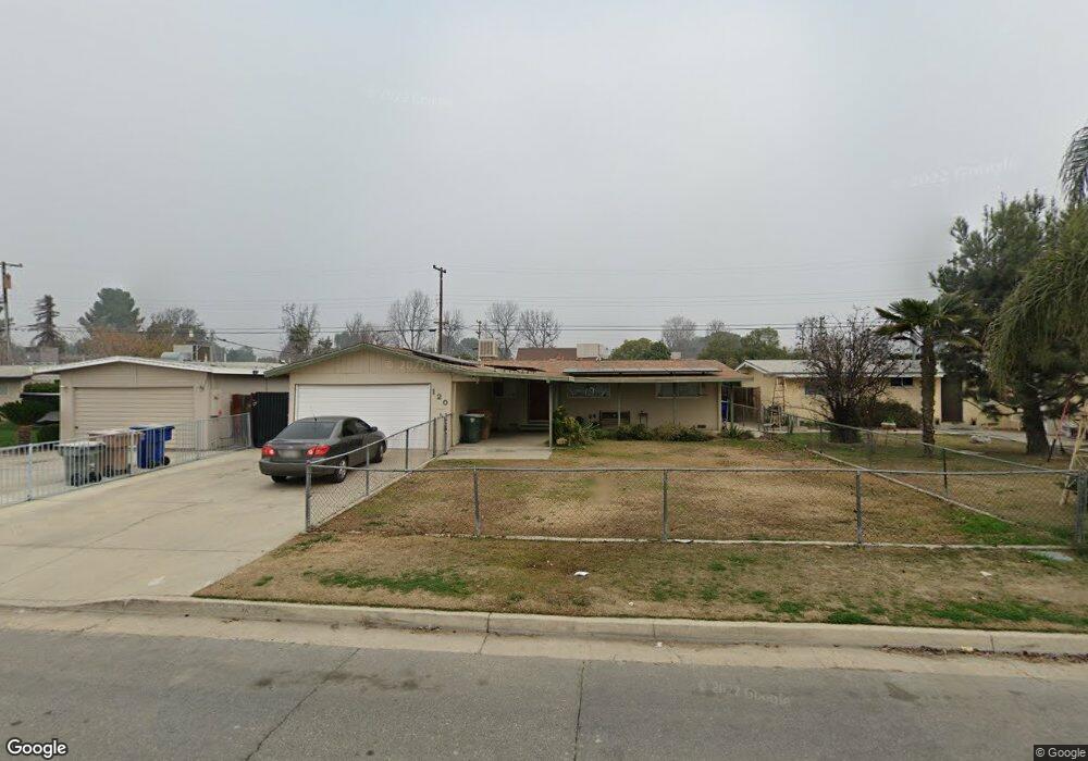
120 Stine Rd Bakersfield, CA 93309
Park Stockdale NeighborhoodEstimated Value: $252,000 - $303,318
About This Home
This home is located at 120 Stine Rd, Bakersfield, CA 93309 and is currently estimated at $275,580, approximately $231 per square foot. 120 Stine Rd is a home located in Kern County with nearby schools including Caroline Harris Elementary School, Curran Middle School, and Bakersfield High School.
Ownership History
We collect this data history from publicly available records. To have your information removed, we recommend requesting removal directly through your county’s website.
Purchase Details
Home Financials for this Owner
Home Financials are based on the most recent Mortgage that was taken out on this home.Purchase Details
Home Financials for this Owner
Home Financials are based on the most recent Mortgage that was taken out on this home.Purchase Details
Purchase Details
Home Financials for this Owner
Home Financials are based on the most recent Mortgage that was taken out on this home.Purchase Details
Purchase Details
Home Financials for this Owner
Home Financials are based on the most recent Mortgage that was taken out on this home.Home Values in the Area
Average Home Value in this Area
Purchase History
We collect this data history from publicly available records. To have your information removed, we recommend requesting removal directly through your county’s website.
| Date | Buyer | Sale Price | Title Company |
|---|---|---|---|
| $152,000 | Chicago Title Bakersfield | ||
| $132,000 | Stewart Title Of Ca Inc | ||
| $86,000 | Chicago Title Company | ||
| $75,000 | Chicago Title Company | ||
| $40,500 | None Available | ||
| -- | Fidelity National Title |
Mortgage History
We collect this data history from publicly available records. To have your information removed, we recommend requesting removal directly through your county’s website.
| Date | Status | Borrower | Loan Amount |
|---|---|---|---|
| Previous Owner | $147,440 | ||
| Previous Owner | $129,609 | ||
| Previous Owner | $60,000 | ||
| Previous Owner | $30,352 |
Tax History
We collect this data history from publicly available records. To have your information removed, we recommend requesting removal directly through your county’s website.
| Year | Tax Paid | Tax Assessment Tax Assessment Total Assessment is a certain percentage of the fair market value that is determined by local assessors to be the total taxable value of land and additions on the property. | Land | Improvement |
|---|---|---|---|---|
| 2025 | $2,620 | $172,943 | $45,510 | $127,433 |
| 2024 | $2,561 | $169,553 | $44,618 | $124,935 |
| 2023 | $2,561 | $166,230 | $43,744 | $122,486 |
| 2022 | $2,498 | $162,972 | $42,887 | $120,085 |
| 2021 | $2,387 | $159,778 | $42,047 | $117,731 |
| 2020 | $2,349 | $158,140 | $41,616 | $116,524 |
| 2019 | $2,302 | $158,140 | $41,616 | $116,524 |
| 2018 | $2,248 | $152,000 | $40,000 | $112,000 |
| 2017 | $2,202 | $139,421 | $31,686 | $107,735 |
| 2016 | $2,024 | $136,688 | $31,065 | $105,623 |
| 2015 | $2,012 | $134,636 | $30,599 | $104,037 |
| 2014 | $1,433 | $86,000 | $25,000 | $61,000 |
Map
- 132 Morrison St
- 217 Garnsey Ave
- 207 N Stine Rd
- 9 Dunlap St
- 3622 Dalen Place
- 360 Garnsey Ave
- 300 S Garnsey Ave
- 312 Western Dr
- 3301 Bank St
- 340 Western Dr
- 3820 Apache Ave
- 402 Westwood St
- 513 Prosser Ave
- 344 Oakdale Dr
- 4600 Randy Ave
- 4425 Charter Oaks Ave
- 5100 Dunsmuir Rd Unit 11
- 3500 Chester Ln
- 4714 Frazier Ave
- 4212 Charter Oaks Ave
Ask me questions while you tour the home.