120 Suter Place West Lafayette, IN 47906
Estimated Value: $483,000 - $527,702
--
Bed
1
Bath
3,810
Sq Ft
$132/Sq Ft
Est. Value
About This Home
This home is located at 120 Suter Place, West Lafayette, IN 47906 and is currently estimated at $503,176, approximately $132 per square foot. 120 Suter Place is a home located in Tippecanoe County with nearby schools including Klondike Elementary School, Klondike Middle School, and William Henry Harrison High School.
Ownership History
Date
Name
Owned For
Owner Type
Purchase Details
Closed on
Aug 17, 2023
Sold by
Wood Micheal A and Wood Kelly S
Bought by
Micheal A And Kelly S Wood Revocable Trust and Wood
Current Estimated Value
Purchase Details
Closed on
Jun 2, 2021
Sold by
Johnson Trust
Bought by
Wood Michael A and Wood Kelly S
Home Financials for this Owner
Home Financials are based on the most recent Mortgage that was taken out on this home.
Original Mortgage
$270,000
Interest Rate
2.9%
Mortgage Type
New Conventional
Purchase Details
Closed on
Oct 25, 2010
Sold by
Johnson Max A and Johnson Susannah
Bought by
Johnson Max A and Johnson Susannah
Purchase Details
Closed on
Nov 30, 2006
Sold by
Johnson Max A
Bought by
Johnson Max A and Johnson Susannah
Purchase Details
Closed on
Jun 15, 2005
Sold by
Johnson Max A and Johnson Susannah
Bought by
Johnson Max A and Johnson Susannah
Create a Home Valuation Report for This Property
The Home Valuation Report is an in-depth analysis detailing your home's value as well as a comparison with similar homes in the area
Home Values in the Area
Average Home Value in this Area
Purchase History
| Date | Buyer | Sale Price | Title Company |
|---|---|---|---|
| Micheal A And Kelly S Wood Revocable Trust | -- | None Listed On Document | |
| Wood Michael A | $370,000 | Metropolitan Title | |
| Johnson Max A | -- | None Available | |
| Ready Donald F | -- | None Available | |
| Johnson Max A | -- | None Available | |
| Johnson Max A | -- | -- |
Source: Public Records
Mortgage History
| Date | Status | Borrower | Loan Amount |
|---|---|---|---|
| Previous Owner | Wood Michael A | $270,000 |
Source: Public Records
Tax History Compared to Growth
Tax History
| Year | Tax Paid | Tax Assessment Tax Assessment Total Assessment is a certain percentage of the fair market value that is determined by local assessors to be the total taxable value of land and additions on the property. | Land | Improvement |
|---|---|---|---|---|
| 2024 | $2,582 | $368,400 | $51,900 | $316,500 |
| 2023 | $2,428 | $365,500 | $51,900 | $313,600 |
| 2022 | $2,267 | $315,800 | $51,900 | $263,900 |
| 2021 | $2,136 | $296,300 | $40,000 | $256,300 |
| 2020 | $2,052 | $288,700 | $40,000 | $248,700 |
| 2019 | $1,971 | $282,400 | $41,100 | $241,300 |
| 2018 | $1,791 | $265,000 | $31,300 | $233,700 |
| 2017 | $1,774 | $259,500 | $32,300 | $227,200 |
| 2016 | $1,718 | $254,700 | $32,700 | $222,000 |
| 2014 | $1,602 | $241,100 | $33,100 | $208,000 |
| 2013 | $1,891 | $266,500 | $31,900 | $234,600 |
Source: Public Records
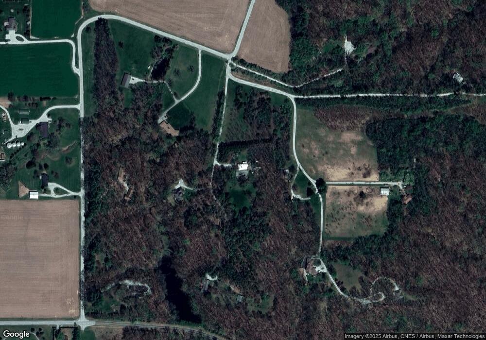
Map
Nearby Homes
- 8213 Division Rd
- 0 N 725 W
- 1 Adeway Ct
- 7150 Robert Ross Ln
- 6791 Zachary Ct E
- 1724 Bent Tree Trail
- 106 Timbercrest Rd
- 5940 Conkright Ln
- 7220 W 350 N
- 3728 Gear St
- 3823 Walnut St
- 4231 Black Forest Ln
- 10240 E 975 N Unit 35
- 10240 E 975 N Unit 31
- 10240 E 975 N Unit 20
- 10240 E 975 N Unit 23
- 10240 E 975 N Unit 30
- 10240 E 975 N Unit 21
- 10240 E 975 N Unit 37
- 10240 E 975 N Unit 34