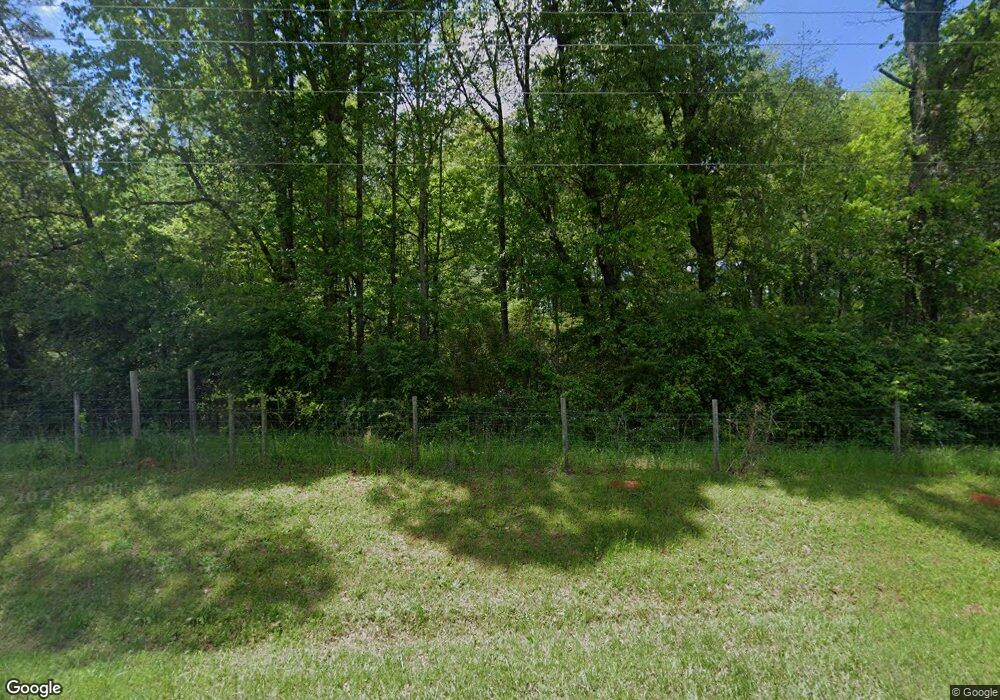
120 the Rock Rd the Rock, GA 30285
Estimated Value: $435,130 - $551,000
3
Beds
3
Baths
2,255
Sq Ft
$219/Sq Ft
Est. Value
About This Home
This home is located at 120 the Rock Rd, the Rock, GA 30285 and is currently estimated at $493,065, approximately $218 per square foot. 120 the Rock Rd is a home with nearby schools including Upson-Lee South Elementary School, Upson-Lee North Elementary School, and Upson-Lee Middle School.
Ownership History
Date
Name
Owned For
Owner Type
Purchase Details
Closed on
Apr 9, 2018
Sold by
Hunter Michael R
Bought by
Whitmire Paul E
Current Estimated Value
Home Financials for this Owner
Home Financials are based on the most recent Mortgage that was taken out on this home.
Original Mortgage
$33,313
Outstanding Balance
$19,593
Interest Rate
4.46%
Mortgage Type
New Conventional
Estimated Equity
$473,472
Purchase Details
Closed on
Oct 4, 2007
Sold by
Not Provided
Bought by
Hunter Michael R and Hunter Maureen D
Create a Home Valuation Report for This Property
The Home Valuation Report is an in-depth analysis detailing your home's value as well as a comparison with similar homes in the area
Home Values in the Area
Average Home Value in this Area
Purchase History
| Date | Buyer | Sale Price | Title Company |
|---|---|---|---|
| Whitmire Paul E | $39,192 | -- | |
| Hunter Michael R | $92,980 | -- |
Source: Public Records
Mortgage History
| Date | Status | Borrower | Loan Amount |
|---|---|---|---|
| Open | Whitmire Paul E | $33,313 |
Source: Public Records
Tax History Compared to Growth
Tax History
| Year | Tax Paid | Tax Assessment Tax Assessment Total Assessment is a certain percentage of the fair market value that is determined by local assessors to be the total taxable value of land and additions on the property. | Land | Improvement |
|---|---|---|---|---|
| 2024 | $3,356 | $133,504 | $21,470 | $112,034 |
| 2023 | $3,374 | $129,584 | $21,470 | $108,114 |
| 2022 | $3,426 | $125,548 | $37,200 | $88,348 |
| 2021 | $2,008 | $76,195 | $15,624 | $60,571 |
| 2020 | $441 | $15,624 | $15,624 | $0 |
| 2019 | $423 | $15,624 | $15,624 | $0 |
| 2018 | $479 | $37,200 | $37,200 | $0 |
| 2017 | $1,251 | $37,200 | $37,200 | $0 |
| 2016 | $1,271 | $37,200 | $37,200 | $0 |
| 2015 | $1,272 | $37,200 | $37,200 | $0 |
| 2014 | $1,274 | $37,200 | $37,200 | $0 |
Source: Public Records
Map
Nearby Homes
- Race Track Rd
- 98 Mud Bridge Rd
- 28 Mud Bridge Rd
- 61 ACRES Barnesville Hwy
- 1031 the Rock Rd
- 3682 Barnesville Hwy
- 0 Technology Pkwy Unit 30119
- 0 Technology Pkwy Unit 21917
- 0 Technology Pkwy Unit 30117
- 2222 Barnesville Hwy
- 1907 Rocky Bottom Rd
- 1972 Rest Haven Rd
- 1518 the Rock Rd
- 3006 Barnesville Hwy
- 3487 Yatesville Hwy
- 1570 the Rock Rd
- 0 Barnesville Hwy Unit 10548523
- 2200 Rest Haven Rd
- 0 Rest Haven Rd Unit 10652109
- 2724 Barnesville St
- 83 the Rock Rd
- 4538 Highway 36
- 4538 Barnesville Hwy
- 4538 Barnesville Hwy
- 69 the Rock Rd
- 61 the Rock Rd Unit ACRES BARNESVILLE
- 60 the Rock Rd
- 51 the Rock Rd
- 236 the Rock Rd
- 36 the Rock Rd
- 4586 Highway 36 Hwy
- 4550 Georgia 36
- 17 the Rock Rd
- 4594 Georgia 36
- 4594 Highway 36
- 0 Piedmont Rd Unit 7363506
- 0 Piedmont Rd Unit 3 7591693
- 0 Piedmont Rd Unit 3 7591737
- 0 Piedmont Rd Unit Lot 7 8155001
- 0 Piedmont Rd Unit Lot 6 8154997
