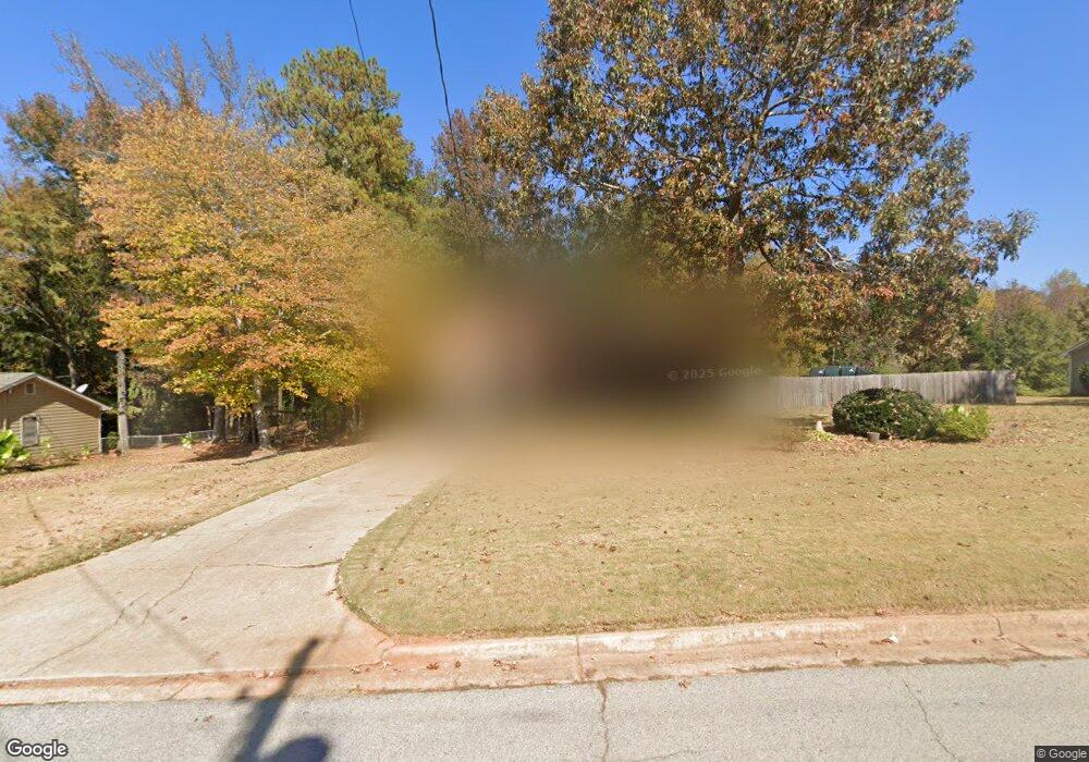
120 W Forest Dr Covington, GA 30016
Estimated Value: $260,000 - $272,000
4
Beds
2
Baths
1,392
Sq Ft
$190/Sq Ft
Est. Value
About This Home
This home is located at 120 W Forest Dr, Covington, GA 30016 and is currently estimated at $263,887, approximately $189 per square foot. 120 W Forest Dr is a home located in Newton County with nearby schools including Oak Hill Elementary School, Veterans Memorial Middle School, and Alcovy High School.
Ownership History
Date
Name
Owned For
Owner Type
Purchase Details
Closed on
Mar 17, 2022
Sold by
Hardy Teresa Elaine
Bought by
Tyson Catherine J and Tyson Michael J
Current Estimated Value
Home Financials for this Owner
Home Financials are based on the most recent Mortgage that was taken out on this home.
Original Mortgage
$241,445
Outstanding Balance
$223,343
Interest Rate
3.55%
Mortgage Type
FHA
Estimated Equity
$40,544
Purchase Details
Closed on
Sep 8, 2021
Sold by
Payne Teresa E
Bought by
Hardy Teresa
Home Financials for this Owner
Home Financials are based on the most recent Mortgage that was taken out on this home.
Original Mortgage
$14,000
Interest Rate
2.8%
Mortgage Type
New Conventional
Purchase Details
Closed on
Sep 28, 2006
Sold by
Mueller Herbert
Bought by
Payne Tiffany
Home Financials for this Owner
Home Financials are based on the most recent Mortgage that was taken out on this home.
Original Mortgage
$108,000
Interest Rate
6.46%
Mortgage Type
New Conventional
Create a Home Valuation Report for This Property
The Home Valuation Report is an in-depth analysis detailing your home's value as well as a comparison with similar homes in the area
Home Values in the Area
Average Home Value in this Area
Purchase History
| Date | Buyer | Sale Price | Title Company |
|---|---|---|---|
| Tyson Catherine J | $245,900 | -- | |
| Hardy Teresa | -- | -- | |
| Payne Tiffany | $79,900 | -- |
Source: Public Records
Mortgage History
| Date | Status | Borrower | Loan Amount |
|---|---|---|---|
| Open | Tyson Catherine J | $241,445 | |
| Previous Owner | Hardy Teresa | $14,000 | |
| Previous Owner | Payne Tiffany | $108,000 |
Source: Public Records
Tax History
| Year | Tax Paid | Tax Assessment Tax Assessment Total Assessment is a certain percentage of the fair market value that is determined by local assessors to be the total taxable value of land and additions on the property. | Land | Improvement |
|---|---|---|---|---|
| 2025 | $2,600 | $104,480 | $15,200 | $89,280 |
| 2024 | $2,632 | $103,920 | $15,200 | $88,720 |
| 2023 | $2,439 | $89,880 | $7,400 | $82,480 |
| 2022 | $2,189 | $84,560 | $7,400 | $77,160 |
| 2021 | $1,251 | $45,120 | $7,400 | $37,720 |
| 2020 | $1,096 | $36,520 | $7,400 | $29,120 |
| 2019 | $1,046 | $34,560 | $7,400 | $27,160 |
| 2018 | $909 | $30,360 | $7,400 | $22,960 |
| 2017 | $858 | $28,880 | $5,200 | $23,680 |
| 2016 | $817 | $27,680 | $4,000 | $23,680 |
| 2015 | $781 | $26,640 | $4,000 | $22,640 |
| 2014 | $780 | $26,640 | $0 | $0 |
Source: Public Records
Map
Nearby Homes
- 20 W Forest Dr
- 35 Fourwood Dr
- 5214 Parkside Dr SE
- 120 Wintergreen Ct
- 339 Buckingham Dr SW
- 5240 Highway 20 S
- 2178 NE Hillwood Dr
- 634 Knollwood Cir SE
- 307 Winding Stream Trail SW
- 14908 Brown Bridge Rd
- 4980 W Lake Dr SE
- 6023 Highway 20 S
- 4731 Shadybrook Way SE Unit 2
- 125 Cardinal Ct Unit 1
- 4938 Lake Forest Dr SE
- 5190 Paul Cir SW
- 5170 Paul Cir SW
- 801 Greenwood Trail SE
- 821 Greenwood Trail SE
- 170 Gibson Way
- 110 W Forest Dr
- 130 W Forest Dr
- 25 W Holly Ct
- 135 W Forest Dr
- 115 W Forest Dr
- 20 W Bradford Ct
- 145 W Forest Dr
- 125 W Forest Dr
- 35 W Holly Ct
- 105 W Forest Dr Unit 1
- W W Holly Ct
- 90 W Forest Dr
- 40 W Bradford Ct
- 30 W Bradford Ct
- 30 W Holly Ct
- 155 W Forest Dr
- W W Bradford Ct
- W W Forest Dr
- 95 W Forest Dr
- 50 W Bradford Ct