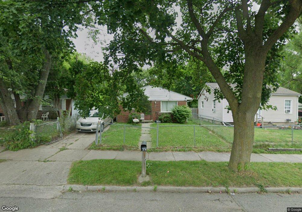
120 W Mansfield Ave Pontiac, MI 48340
Estimated Value: $102,000 - $127,000
3
Beds
1
Bath
898
Sq Ft
$127/Sq Ft
Est. Value
About This Home
This home is located at 120 W Mansfield Ave, Pontiac, MI 48340 and is currently estimated at $113,843, approximately $126 per square foot. 120 W Mansfield Ave is a home located in Oakland County with nearby schools including Alcott School, Pontiac Middle School, and Pontiac High School.
Ownership History
Date
Name
Owned For
Owner Type
Purchase Details
Closed on
Sep 11, 2007
Sold by
Countrywide Home Loans Inc
Bought by
Tharrett Michael
Current Estimated Value
Purchase Details
Closed on
Oct 11, 2005
Sold by
Najieb Deborah
Bought by
Pines Investment Co Profit Sharing Trust
Purchase Details
Closed on
Dec 30, 1999
Sold by
Land Contract Equities I
Bought by
Najieb Deborah S
Purchase Details
Closed on
Oct 2, 1997
Sold by
Terry Lucy E
Bought by
Land Contract Equities Inc
Create a Home Valuation Report for This Property
The Home Valuation Report is an in-depth analysis detailing your home's value as well as a comparison with similar homes in the area
Home Values in the Area
Average Home Value in this Area
Purchase History
| Date | Buyer | Sale Price | Title Company |
|---|---|---|---|
| Tharrett Michael | $24,000 | None Available | |
| Pines Investment Co Profit Sharing Trust | $3,521 | -- | |
| Najieb Deborah S | $57,000 | -- | |
| Land Contract Equities Inc | -- | -- |
Source: Public Records
Tax History Compared to Growth
Tax History
| Year | Tax Paid | Tax Assessment Tax Assessment Total Assessment is a certain percentage of the fair market value that is determined by local assessors to be the total taxable value of land and additions on the property. | Land | Improvement |
|---|---|---|---|---|
| 2024 | $833 | $34,290 | $0 | $0 |
| 2023 | $794 | $30,850 | $0 | $0 |
| 2022 | $829 | $27,620 | $0 | $0 |
| 2021 | $806 | $23,920 | $0 | $0 |
| 2020 | $722 | $21,290 | $0 | $0 |
| 2019 | $774 | $18,710 | $0 | $0 |
| 2018 | $740 | $15,650 | $0 | $0 |
| 2017 | $711 | $14,950 | $0 | $0 |
| 2016 | $737 | $13,320 | $0 | $0 |
| 2015 | -- | $13,020 | $0 | $0 |
| 2014 | -- | $12,480 | $0 | $0 |
| 2011 | -- | $15,940 | $0 | $0 |
Source: Public Records
Map
Nearby Homes
- 119 W Kennett Rd
- 109 W Kennett Rd
- 998 Dewey St
- 33 W Beverly Ave
- 201 Parkdale Ave
- 32 N Merrimac St
- 89 W Fairmount Ave
- 134 W Fairmount Ave
- 18 E 18 E Rutgers Ave
- 255 W Rutgers Ave
- 117 W Strathmore Ave
- 112 W Strathmore Ave
- 207 W Strathmore Ave
- 240 W Fairmount Ave
- 1017 Cherrylawn Dr
- 1153 Stanley Ave
- 1123 Cherrylawn Dr
- 0000 Blaine Ave
- 686 Lounsbury Ave
- 54 Hudson Ave
- 124 W Mansfield Ave
- 128 W Mansfield Ave
- 116 W Mansfield Ave
- 132 W Mansfield Ave
- 108 W Mansfield Ave
- 123 W Tennyson Ave
- 119 W Tennyson Ave
- 115 W Tennyson Ave
- 127 W Tennyson Ave
- 104 W Mansfield Ave
- 111 W Tennyson Ave
- 140 W Mansfield Ave
- 136 W Mansfield Ave
- 131 W Tennyson Ave
- 135 W Tennyson Ave
- 107 W Tennyson Ave
- 144 W Mansfield Ave
- 139 W Tennyson Ave
- 143 W Tennyson Ave
- 148 W Mansfield Ave