1200 Brownstone Ave Akron, OH 44310
Chapel Hill NeighborhoodEstimated Value: $1,034,535
--
Bed
2
Baths
12,978
Sq Ft
$80/Sq Ft
Est. Value
About This Home
This home is located at 1200 Brownstone Ave, Akron, OH 44310 and is currently estimated at $1,034,535, approximately $79 per square foot. 1200 Brownstone Ave is a home located in Summit County with nearby schools including North High School, Steel Academy, and Chapel Hill Christian School.
Ownership History
Date
Name
Owned For
Owner Type
Purchase Details
Closed on
Sep 30, 2012
Sold by
Time Warner Enteriatinment Company Lp
Bought by
Time Warner Cable Midwest Llc
Current Estimated Value
Purchase Details
Closed on
Mar 27, 2002
Sold by
Tiger Inc
Bought by
The Warner Entertainment Company Lp
Create a Home Valuation Report for This Property
The Home Valuation Report is an in-depth analysis detailing your home's value as well as a comparison with similar homes in the area
Home Values in the Area
Average Home Value in this Area
Purchase History
| Date | Buyer | Sale Price | Title Company |
|---|---|---|---|
| Time Warner Cable Midwest Llc | -- | None Available | |
| The Warner Entertainment Company Lp | $550,000 | Midland Commerce Group |
Source: Public Records
Tax History Compared to Growth
Tax History
| Year | Tax Paid | Tax Assessment Tax Assessment Total Assessment is a certain percentage of the fair market value that is determined by local assessors to be the total taxable value of land and additions on the property. | Land | Improvement |
|---|---|---|---|---|
| 2025 | $25,548 | $307,962 | $33,733 | $274,229 |
| 2024 | $25,548 | $307,962 | $33,733 | $274,229 |
| 2023 | $26,119 | $307,962 | $33,733 | $274,229 |
| 2022 | $26,119 | $307,962 | $33,733 | $274,229 |
| 2021 | $26,156 | $307,962 | $33,733 | $274,229 |
| 2020 | $26,588 | $307,960 | $33,730 | $274,230 |
| 2019 | $13,294 | $288,070 | $36,320 | $251,750 |
| 2018 | $26,435 | $288,070 | $36,320 | $251,750 |
| 2017 | $22,249 | $235,570 | $36,320 | $199,250 |
| 2016 | $22,249 | $247,770 | $38,230 | $209,540 |
| 2015 | $22,249 | $247,770 | $38,230 | $209,540 |
| 2014 | $21,962 | $247,770 | $38,230 | $209,540 |
| 2013 | $19,987 | $219,590 | $32,490 | $187,100 |
Source: Public Records
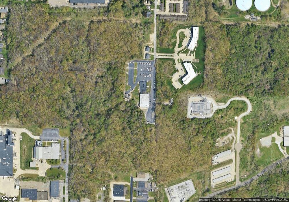
Map
Nearby Homes
- 1361 Brownstone Ave
- 1333 Blackstone Ave
- 1292 Longstone Ave
- 1300 Longstone Ave
- 1308 Longstone Ave
- 1332 Longstone Ave
- 1328 Alphada Ave
- 1509 Hyde Park Ave
- 1267 Tioga Ave
- 902 Chinook Ave
- 857 Kennebec Ave
- 1376 Tioga Ave
- 1534 Brittain Rd
- 855 Cree Ave
- 842 Cree Ave
- 1265 Eastwood Ave
- 991 Nevin St
- 821 Cree Ave
- 853 Brittain Rd
- 899 Davis St
- 1256 Brownstone Ave Unit 1258
- 1256 Brownstone Ave
- 1262 Brownstone Ave Unit 1264
- 0 Brownstone Ave Unit 5074814
- 0 Brownstone Ave Unit 5074807
- 0 Brownstone Ave Unit 5074799
- 0 Brownstone Ave Unit 5074789
- 0 Brownstone Ave Unit 5018033
- 0 Brownstone Ave Unit 5018027
- 0 Brownstone Ave Unit 5018024
- 0 Brownstone Ave Unit 5018014
- 0 Brownstone Ave Unit 4431851
- 0 Brownstone Ave Unit 4431845
- 0 Brownstone Ave Unit 4399156
- 0 Brownstone Ave Unit 4431853
- 0 Brownstone Ave
- 3104 Tower
- 1300 Brownstone Ave
- 1289 Brownstone Ave
- 1289 Brownstone Ave