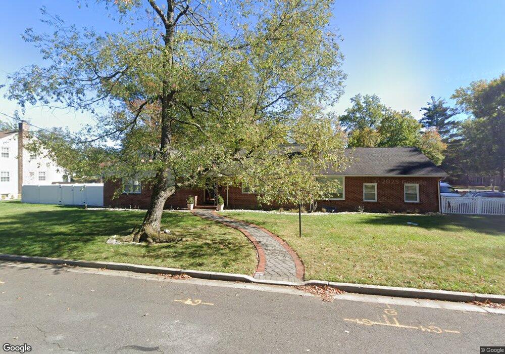
1200 Cambridge Ave Unit 10 Plainfield, NJ 07062
Estimated Value: $596,000 - $638,000
--
Bed
--
Bath
1,836
Sq Ft
$335/Sq Ft
Est. Value
About This Home
This home is located at 1200 Cambridge Ave Unit 10, Plainfield, NJ 07062 and is currently estimated at $615,647, approximately $335 per square foot. 1200 Cambridge Ave Unit 10 is a home located in Union County with nearby schools including Frederic W. Cook School, Emerson Community School, and Maxson Middle School.
Ownership History
Date
Name
Owned For
Owner Type
Purchase Details
Closed on
Nov 21, 2006
Sold by
Hester Leslie S
Bought by
Edwards Princetta A
Current Estimated Value
Home Financials for this Owner
Home Financials are based on the most recent Mortgage that was taken out on this home.
Original Mortgage
$405,000
Outstanding Balance
$242,111
Interest Rate
6.4%
Mortgage Type
New Conventional
Estimated Equity
$373,536
Purchase Details
Closed on
Oct 10, 2003
Sold by
Burris Joseph
Bought by
Hester Lesli
Purchase Details
Closed on
Feb 5, 2003
Sold by
Property Vii Llc
Bought by
Burris Joseph
Home Financials for this Owner
Home Financials are based on the most recent Mortgage that was taken out on this home.
Original Mortgage
$161,500
Interest Rate
5.75%
Create a Home Valuation Report for This Property
The Home Valuation Report is an in-depth analysis detailing your home's value as well as a comparison with similar homes in the area
Home Values in the Area
Average Home Value in this Area
Purchase History
| Date | Buyer | Sale Price | Title Company |
|---|---|---|---|
| Edwards Princetta A | $450,000 | -- | |
| Hester Lesli | $387,000 | -- | |
| Burris Joseph | $170,000 | -- |
Source: Public Records
Mortgage History
| Date | Status | Borrower | Loan Amount |
|---|---|---|---|
| Open | Edwards Princetta A | $405,000 | |
| Previous Owner | Burris Joseph | $161,500 |
Source: Public Records
Tax History Compared to Growth
Tax History
| Year | Tax Paid | Tax Assessment Tax Assessment Total Assessment is a certain percentage of the fair market value that is determined by local assessors to be the total taxable value of land and additions on the property. | Land | Improvement |
|---|---|---|---|---|
| 2025 | $13,011 | $149,000 | $64,600 | $84,400 |
| 2024 | $12,883 | $149,000 | $64,600 | $84,400 |
| 2023 | $12,883 | $149,000 | $64,600 | $84,400 |
| 2022 | $12,604 | $149,000 | $64,600 | $84,400 |
| 2021 | $12,494 | $149,000 | $64,600 | $84,400 |
| 2020 | $12,458 | $149,000 | $64,600 | $84,400 |
| 2019 | $12,458 | $149,000 | $64,600 | $84,400 |
| 2018 | $12,197 | $149,000 | $64,600 | $84,400 |
| 2017 | $11,899 | $149,000 | $64,600 | $84,400 |
| 2016 | $11,656 | $149,000 | $64,600 | $84,400 |
| 2015 | $11,312 | $149,000 | $64,600 | $84,400 |
| 2014 | $11,005 | $149,000 | $64,600 | $84,400 |
Source: Public Records
Map
Nearby Homes
- 1158 Woodmere Place
- 1224 Sunnyfield Ln
- 939-45 Post Dr
- 848 Adam Cir
- 1232 Sunnyfield Ln
- 810 Leland Ave Unit 14
- 842 Berkeley Ave
- 714 Dixie Ln
- 1009 Mayfair Way
- 771 Ravine Rd
- 767 Ravine Rd Unit 73
- 1138-40 Gresham Rd
- 1627 Prospect Ave Unit 47
- 633 Woodland Ave Unit 37
- 481 Terrill Rd
- 19 Highlander Dr
- 32 Gere Place
- 1505 Charlotte Rd
- 1231 Rahway Rd
- 15 La Grande Ave
- 947 Leland Ave Unit 49
- 947-49 Leland Ave
- 1212 Cambridge Ave Unit 14
- 1201-05 Cambridge Ave
- 1207 Cambridge Ave Unit 11
- 1209 Cambridge Ave
- 1216 Cambridge Ave Unit 18
- 1201 Cambridge Ave Unit 5
- 951 Leland Ave Unit 59
- 936 Leland Ave Unit 44
- 1213 Cambridge Ave Unit 15
- 1220 Cambridge Ave Unit 24
- 932 Leland Ave Unit 34
- 934 Leland Ave
- 946 Leland Ave Unit 48
- 1217 Cambridge Ave Unit 19
- 926 Leland Ave Unit 30
- 1221 Cambridge Ave Unit 23
- 1166 Inwood Place Unit 76
- 1226 Cambridge Ave Unit 30