1200 Coal Mine Way Cle Elum, WA 98922
Estimated Value: $340,015 - $605,000
--
Bed
--
Bath
--
Sq Ft
0.41
Acres
About This Home
This home is located at 1200 Coal Mine Way, Cle Elum, WA 98922 and is currently estimated at $472,508. 1200 Coal Mine Way is a home located in Kittitas County with nearby schools including Cle Elum Roslyn Elementary School, Walter Strom Middle School, and Cle Elum Roslyn High School.
Ownership History
Date
Name
Owned For
Owner Type
Purchase Details
Closed on
Jan 24, 2021
Sold by
Wilson Donald C and Wilson Betty J
Bought by
Wilson Donald Carl and Wilson Betty Jane
Current Estimated Value
Purchase Details
Closed on
Feb 12, 2011
Sold by
Kuzminykh Inna and Siddiqui Shafin A
Bought by
Wilson Donald C and Wilson Betty J
Purchase Details
Closed on
Jul 21, 2006
Sold by
Suncadia Llc
Bought by
Kuzminykh Inna and Siddiqui Shafin A
Home Financials for this Owner
Home Financials are based on the most recent Mortgage that was taken out on this home.
Original Mortgage
$300,195
Interest Rate
7.37%
Mortgage Type
Adjustable Rate Mortgage/ARM
Create a Home Valuation Report for This Property
The Home Valuation Report is an in-depth analysis detailing your home's value as well as a comparison with similar homes in the area
Home Values in the Area
Average Home Value in this Area
Purchase History
| Date | Buyer | Sale Price | Title Company |
|---|---|---|---|
| Wilson Donald Carl | -- | None Available | |
| Wilson Donald C | $120,000 | Amerititle | |
| Kuzminykh Inna | $333,550 | Amerititle |
Source: Public Records
Mortgage History
| Date | Status | Borrower | Loan Amount |
|---|---|---|---|
| Previous Owner | Kuzminykh Inna | $300,195 |
Source: Public Records
Tax History Compared to Growth
Tax History
| Year | Tax Paid | Tax Assessment Tax Assessment Total Assessment is a certain percentage of the fair market value that is determined by local assessors to be the total taxable value of land and additions on the property. | Land | Improvement |
|---|---|---|---|---|
| 2025 | $2,932 | $448,800 | $448,800 | -- |
| 2023 | $2,932 | $416,400 | $416,400 | $0 |
| 2022 | $2,038 | $278,100 | $278,100 | $0 |
| 2021 | $1,577 | $204,600 | $204,600 | $0 |
| 2019 | $1,299 | $167,100 | $167,100 | $0 |
| 2018 | $921 | $111,000 | $111,000 | $0 |
| 2017 | $921 | $111,000 | $111,000 | $0 |
| 2016 | $924 | $111,000 | $111,000 | $0 |
| 2015 | $983 | $111,000 | $111,000 | $0 |
| 2013 | -- | $111,000 | $111,000 | $0 |
Source: Public Records
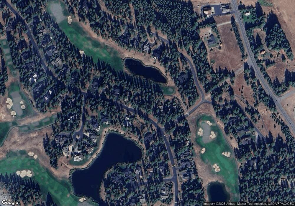
Map
Nearby Homes
- 571 Richards Rd
- 70 Monabel Ct
- 1481 Coal Mine Way
- 950 Coal Mine Way
- 1561 Coal Mine Way
- 930 Coal Mine Way
- 240 Monabel Ct
- 722 S A St
- 706 S A St
- 221 Tipple Hill Loop
- 301 Tipple Hill Loop
- 602 S 1st St
- 2040 Coal Mine Way
- 2101 Coal Mine Way
- 100 Black Nugget Ln
- 530 Spragger Way
- 610 Spragger Way
- 313 S 2nd St
- 206 W Montana Ave
- 262 Black Nugget Ln
- 1230 Coal Mine Way
- 1160 Coal Mine Way
- 1270 Coal Mine Way
- 1201 Coal Mine Way
- 51 Steam Gin Loop
- 1241 Coal Mine Way
- 1300 Coal Mine Way
- 1281 Coal Mine Way
- 1141 Coal Mine Way
- 201 Steam Gin Loop
- 1120 Coal Mine Way
- 231 Steam Gin Loop
- 131 Steam Gin Loop
- 1330 Coal Mine Way
- 1091 Coal Mine Way
- 1331 Coal Mine Way
- 271 Steam Gin Loop
- 311 Steam Gin Loop
- 1090 Coal Mine Way
- 351 Steam Gin Loop