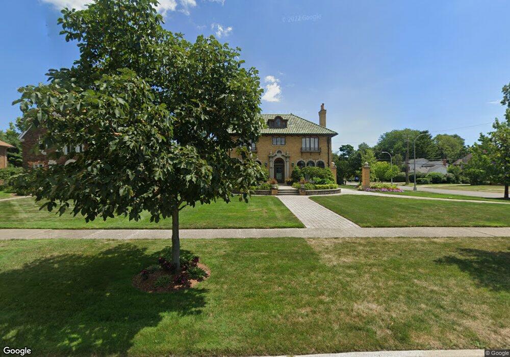
1200 Devonshire Rd Grosse Pointe Park, MI 48230
Estimated Value: $662,583 - $763,000
Studio
1
Bath
3,005
Sq Ft
$237/Sq Ft
Est. Value
About This Home
This home is located at 1200 Devonshire Rd, Grosse Pointe Park, MI 48230 and is currently estimated at $712,146, approximately $236 per square foot. 1200 Devonshire Rd is a home located in Wayne County with nearby schools including George Defer Elementary School, Pierce Middle School, and Grosse Pointe South High School.
Ownership History
Date
Name
Owned For
Owner Type
Purchase Details
Closed on
Aug 6, 2002
Sold by
Tepper Richard A
Bought by
Tepper Donna G
Current Estimated Value
Purchase Details
Closed on
Apr 24, 1997
Sold by
Tepper Julie A
Bought by
Tepper Richard A
Purchase Details
Closed on
May 20, 1996
Sold by
Richard A and Tepp Julie A
Bought by
Joseph A Wittstock and Lahr Marie T
Create a Home Valuation Report for This Property
The Home Valuation Report is an in-depth analysis detailing your home's value as well as a comparison with similar homes in the area
Home Values in the Area
Average Home Value in this Area
Purchase History
| Date | Buyer | Sale Price | Title Company |
|---|---|---|---|
| Tepper Donna G | -- | -- | |
| Tepper Richard A | -- | -- | |
| Joseph A Wittstock | $246,000 | -- |
Source: Public Records
Tax History
| Year | Tax Paid | Tax Assessment Tax Assessment Total Assessment is a certain percentage of the fair market value that is determined by local assessors to be the total taxable value of land and additions on the property. | Land | Improvement |
|---|---|---|---|---|
| 2025 | $5,563 | $334,300 | $0 | $0 |
| 2024 | $5,355 | $320,000 | $0 | $0 |
| 2023 | $5,114 | $291,400 | $0 | $0 |
| 2022 | $4,858 | $274,200 | $0 | $0 |
| 2021 | $9,579 | $284,500 | $0 | $0 |
| 2019 | $9,858 | $248,500 | $0 | $0 |
| 2018 | $4,632 | $213,300 | $0 | $0 |
| 2017 | $10,297 | $122,300 | $0 | $0 |
| 2016 | $9,613 | $194,000 | $0 | $0 |
| 2015 | $17,218 | $184,300 | $0 | $0 |
| 2013 | $16,680 | $169,500 | $0 | $0 |
| 2012 | $4,154 | $177,800 | $71,600 | $106,200 |
Source: Public Records
Map
Nearby Homes
- 1206 Balfour St
- 1338 Somerset Ave
- 3430 Bedford St
- 1254 Beaconsfield Ave
- 3460 Bedford St
- 1328 Lakepointe St
- 1264 Bishop Rd
- 943 Harcourt Rd Unit 45
- 3520 Audubon Rd
- 1048 Lakepointe St Unit A
- 1417 Beaconsfield Ave
- 1083 Lakepointe St
- 3675 Bedford St
- 1425 Bishop Rd
- 1239 Maryland St
- 3690 Three Mile Dr
- 74 Pointe Park Place Unit 311
- 3709 Haverhill St
- 32 Pointe Park Place Unit 31
- 26 Pointe Park Place Unit 303
- 1216 Devonshire Rd
- 1205 Bedford Rd
- 1211 Bedford Rd
- 1178 Devonshire Rd
- 1224 Devonshire Rd
- 1217 Bedford Rd
- 1179 Bedford Rd
- 1223 Bedford Rd
- 1170 Devonshire Rd
- 1232 Devonshire Rd
- 1229 Bedford Rd
- 1171 Bedford Rd
- 1215 Devonshire Rd
- 1177 Devonshire Rd
- 1223 Devonshire Rd
- 1235 Bedford Rd
- 1204 Bedford Rd
- 1162 Devonshire Rd
- 1210 Bedford Rd
- 1242 Devonshire Rd
Your Personal Tour Guide
Ask me questions while you tour the home.