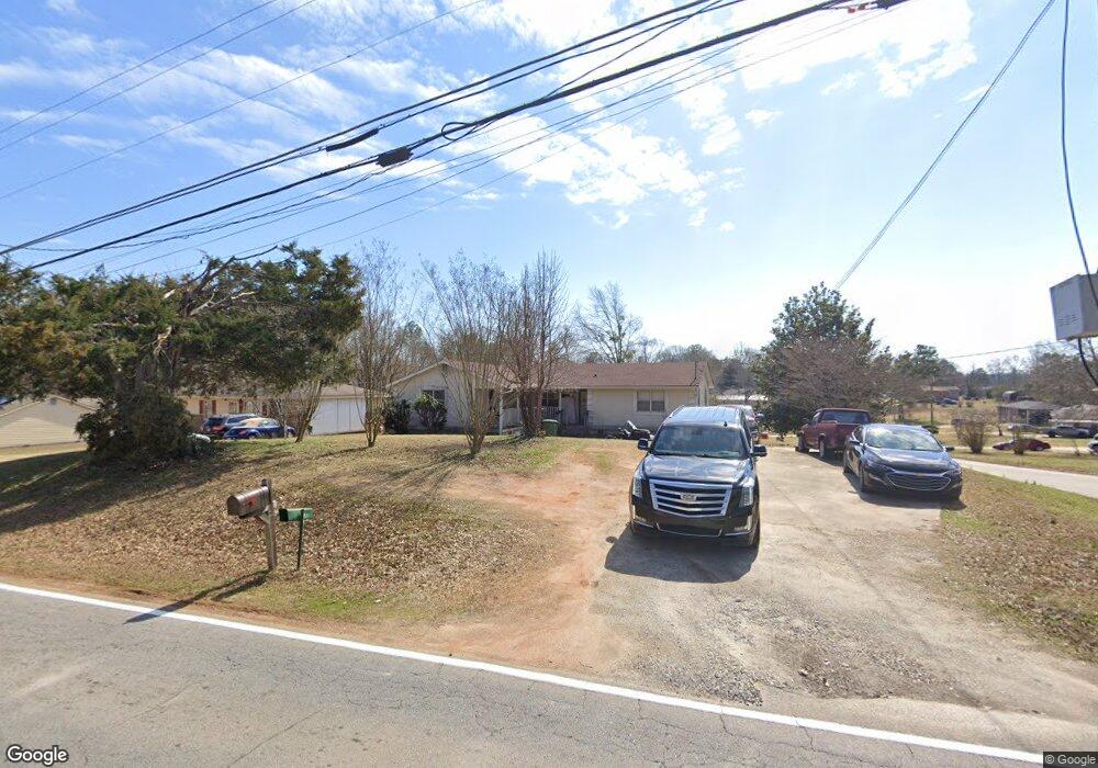
1200 E Mcintosh Rd Griffin, GA 30223
Spalding County NeighborhoodEstimated Value: $152,270 - $249,000
Studio
2
Baths
1,568
Sq Ft
$126/Sq Ft
Est. Value
About This Home
This home is located at 1200 E Mcintosh Rd, Griffin, GA 30223 and is currently estimated at $197,568, approximately $126 per square foot. 1200 E Mcintosh Rd is a home located in Spalding County with nearby schools including Atkinson Elementary School, Cowan Road Middle School, and Spalding High School.
Ownership History
Date
Name
Owned For
Owner Type
Purchase Details
Closed on
Apr 30, 1986
Sold by
Brisendine David
Bought by
Daniel Homer and Daniel Tammy L
Current Estimated Value
Purchase Details
Closed on
Apr 11, 1986
Sold by
Flournoy M Arthur
Bought by
Brisendine David
Purchase Details
Closed on
Jun 1, 1982
Sold by
Cotton Inc
Bought by
Fournoy M Arthur
Purchase Details
Closed on
Oct 15, 1977
Sold by
Smith Fred R Ken Fletcher Tim Furlow
Bought by
Cotton Inc
Purchase Details
Closed on
Dec 16, 1975
Sold by
Smith Dan J and Smith Fred
Bought by
Smith Fred R Tim Furlow and En Fletche
Create a Home Valuation Report for This Property
The Home Valuation Report is an in-depth analysis detailing your home's value as well as a comparison with similar homes in the area
Home Values in the Area
Average Home Value in this Area
Purchase History
| Date | Buyer | Sale Price | Title Company |
|---|---|---|---|
| Daniel Homer | $2,500 | -- | |
| Brisendine David | -- | -- | |
| Fournoy M Arthur | -- | -- | |
| Cotton Inc | -- | -- | |
| Smith Fred R Tim Furlow | -- | -- | |
| Smith Fred R Tim Fulow | -- | -- |
Source: Public Records
Tax History
| Year | Tax Paid | Tax Assessment Tax Assessment Total Assessment is a certain percentage of the fair market value that is determined by local assessors to be the total taxable value of land and additions on the property. | Land | Improvement |
|---|---|---|---|---|
| 2025 | $1,710 | $49,608 | $3,432 | $46,176 |
| 2024 | $1,692 | $49,608 | $3,432 | $46,176 |
| 2023 | $1,710 | $50,658 | $3,432 | $47,226 |
| 2022 | $1,531 | $43,900 | $3,120 | $40,780 |
| 2021 | $1,308 | $37,780 | $3,120 | $34,660 |
| 2020 | $1,102 | $32,004 | $3,120 | $28,884 |
| 2019 | $1,124 | $32,004 | $3,120 | $28,884 |
| 2018 | $1,046 | $29,194 | $3,120 | $26,074 |
| 2017 | $1,018 | $29,194 | $3,120 | $26,074 |
| 2016 | $1,036 | $29,194 | $3,120 | $26,074 |
| 2015 | $1,136 | $30,932 | $3,120 | $27,812 |
| 2014 | $1,158 | $30,932 | $3,120 | $27,812 |
Source: Public Records
Map
Nearby Homes
- 136 Henry Burch Dr
- 132 Little Big Horn Rd
- 204 Custer Cir
- 1138 Spring Creek Cir
- 1445 E Mcintosh Rd
- 186 Connally Place
- 0 Armstead Cir Unit 10689061
- 201 Dundee Lake Rd
- 117 Lake Dr
- 0 Short St Unit 10555372
- 0 Short St Unit 7572526
- 1405 Lincoln Rd
- 1401 Lincoln Rd
- 1416 Spellman Ave
- 1324 Spellman Ave
- 1802 E Mcintosh Rd Unit LOT 9
- 1804 E McIntosh Lot 10 Rd Unit LOT 10
- 1806 E McIntosh Lot 11 Rd Unit LOT 11
- 0 Tuskegee Ave Unit 7674017
- 583 Hamil Rd
- 1202 E Mcintosh Rd
- 102 Big Horn Rd
- 1130 E Mcintosh Rd
- 1204 E Mcintosh Rd
- 104 Big Horn Rd
- 1201 E Mcintosh Rd
- 101 Big Horn Rd
- 1203 E Mcintosh Rd
- 1155 E Mcintosh Rd
- 1100 E Mcintosh Rd
- 1205 E Mcintosh Rd
- 1206 E Mcintosh Rd
- 103 Big Horn Rd
- 106 Big Horn Rd
- 1126 E Mcintosh Rd
- 1141 E Mcintosh Rd
- 1145 E Mcintosh Rd
- 202 Hammerhawk Rd
- 105 Big Horn Rd
- 204 Hammerhawk Rd
Your Personal Tour Guide
Ask me questions while you tour the home.