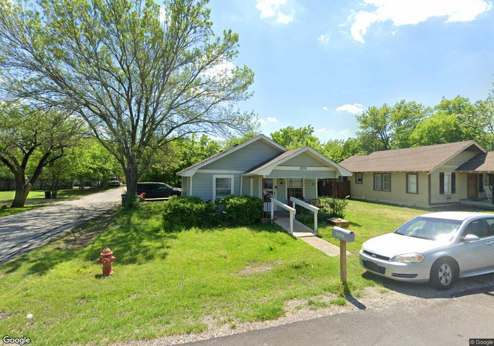
1200 Elm St Sanger, TX 76266
Estimated Value: $161,885 - $251,000
--
Bed
--
Bath
1,064
Sq Ft
$195/Sq Ft
Est. Value
About This Home
This home is located at 1200 Elm St, Sanger, TX 76266 and is currently estimated at $207,628, approximately $195 per square foot. 1200 Elm St is a home located in Denton County with nearby schools including Chisholm Trail Elementary School, Clear Creek Intermediate School, and Sanger Sixth Grade Campus.
Ownership History
Date
Name
Owned For
Owner Type
Purchase Details
Closed on
Jan 3, 2012
Sold by
Johnson John Clay
Bought by
Ms Digs Ii Llc
Current Estimated Value
Purchase Details
Closed on
Jan 1, 2012
Sold by
Johnson John Cliffton
Bought by
Johnson John Clay
Purchase Details
Closed on
Dec 29, 2011
Sold by
Jcj Family Partners Vii Ltd
Bought by
Johnson John Clay
Purchase Details
Closed on
May 6, 2004
Sold by
Dumas Robin
Bought by
Jcj Family Partners Vii Ltd
Create a Home Valuation Report for This Property
The Home Valuation Report is an in-depth analysis detailing your home's value as well as a comparison with similar homes in the area
Home Values in the Area
Average Home Value in this Area
Purchase History
| Date | Buyer | Sale Price | Title Company |
|---|---|---|---|
| Ms Digs Ii Llc | -- | None Available | |
| Johnson John Clay | -- | None Available | |
| Johnson John Clay | -- | None Available | |
| Johnson John Clay | -- | None Available | |
| Johnson John Cliffton | -- | None Available | |
| Johnson John Clay | -- | None Available | |
| Jcj Family Partners Vii Ltd | -- | -- |
Source: Public Records
Tax History Compared to Growth
Tax History
| Year | Tax Paid | Tax Assessment Tax Assessment Total Assessment is a certain percentage of the fair market value that is determined by local assessors to be the total taxable value of land and additions on the property. | Land | Improvement |
|---|---|---|---|---|
| 2025 | $1,940 | $106,000 | $60,750 | $45,250 |
| 2024 | $1,940 | $96,000 | $60,750 | $35,250 |
| 2023 | $1,986 | $98,000 | $47,098 | $50,902 |
| 2022 | $2,329 | $105,000 | $37,125 | $67,875 |
| 2021 | $1,871 | $89,000 | $30,375 | $58,625 |
| 2020 | $1,571 | $71,000 | $30,375 | $40,625 |
| 2019 | $1,616 | $71,000 | $30,375 | $40,625 |
| 2018 | $1,573 | $68,700 | $30,375 | $38,325 |
| 2017 | $1,242 | $54,000 | $30,375 | $23,625 |
| 2016 | $1,035 | $45,000 | $16,875 | $28,125 |
| 2015 | $883 | $39,932 | $16,875 | $23,057 |
| 2013 | -- | $45,781 | $16,875 | $28,906 |
Source: Public Records
Map
Nearby Homes
- 1209 Bolivar St
- 1010 Bolivar St
- 411 Hughes St
- TBD Interstate 35
- 902 Plum St
- 702 Peach St Unit 2
- 4063 Farm To Market 455 W
- 1009 Porter Place
- 4551 Farm To Market Road 455
- 710 W Willow St
- 106 W Holt St
- 109 S 5th St
- 509 Marshall St
- 505 Houston St
- 319 Austin St
- 113 Diane Dr
- 109 Colonial Heights
- 820 N Tejas Dr
- 818 N Tejas Dr
- 212 Diane Dr