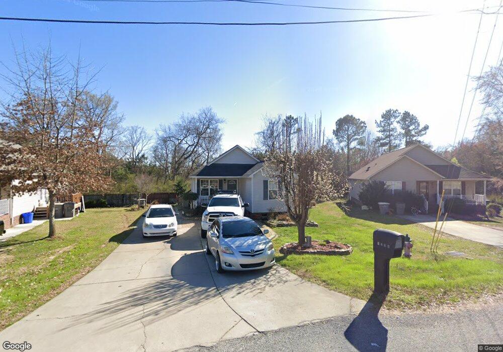
1200 Holland St Kannapolis, NC 28083
Estimated Value: $250,359 - $296,000
4
Beds
2
Baths
1,183
Sq Ft
$226/Sq Ft
Est. Value
About This Home
This home is located at 1200 Holland St, Kannapolis, NC 28083 and is currently estimated at $266,840, approximately $225 per square foot. 1200 Holland St is a home located in Cabarrus County with nearby schools including Forest Park Elementary School, Kannapolis Middle, and A.L. Brown High School.
Ownership History
Date
Name
Owned For
Owner Type
Purchase Details
Closed on
Oct 28, 2003
Sold by
Cabarrus County Community Development Co
Bought by
Hernandez Juan and Hernandez Elizabeth
Current Estimated Value
Home Financials for this Owner
Home Financials are based on the most recent Mortgage that was taken out on this home.
Original Mortgage
$71,000
Outstanding Balance
$33,281
Interest Rate
6.16%
Mortgage Type
Purchase Money Mortgage
Estimated Equity
$233,559
Create a Home Valuation Report for This Property
The Home Valuation Report is an in-depth analysis detailing your home's value as well as a comparison with similar homes in the area
Home Values in the Area
Average Home Value in this Area
Purchase History
| Date | Buyer | Sale Price | Title Company |
|---|---|---|---|
| Hernandez Juan | $98,000 | -- |
Source: Public Records
Mortgage History
| Date | Status | Borrower | Loan Amount |
|---|---|---|---|
| Open | Hernandez Juan | $71,000 | |
| Closed | Hernandez Juan | $5,000 |
Source: Public Records
Tax History Compared to Growth
Tax History
| Year | Tax Paid | Tax Assessment Tax Assessment Total Assessment is a certain percentage of the fair market value that is determined by local assessors to be the total taxable value of land and additions on the property. | Land | Improvement |
|---|---|---|---|---|
| 2025 | $2,392 | $210,670 | $50,000 | $160,670 |
| 2024 | $2,392 | $210,670 | $50,000 | $160,670 |
| 2023 | $1,751 | $127,780 | $43,910 | $83,870 |
| 2022 | $1,807 | $131,930 | $49,400 | $82,530 |
| 2021 | $1,807 | $131,930 | $49,400 | $82,530 |
| 2020 | $1,807 | $131,930 | $49,400 | $82,530 |
| 2019 | $1,412 | $103,080 | $20,000 | $83,080 |
| 2018 | $1,392 | $103,080 | $20,000 | $83,080 |
| 2017 | $1,371 | $103,080 | $20,000 | $83,080 |
| 2016 | $1,371 | $98,000 | $15,230 | $82,770 |
| 2015 | $1,195 | $98,000 | $15,230 | $82,770 |
| 2014 | $1,195 | $98,000 | $15,230 | $82,770 |
Source: Public Records
Map
Nearby Homes
- 1365 Eagle Claw Dr
- 1013 Kansas St Unit B
- 1013 Kansas St Unit A
- 1768 Concord Lake Rd
- 1010 Tennessee St
- 512 Villa St
- 614 Breckenridge Rd Unit 17
- 1025 Michigan St
- 1200 Grace Ave
- 1010 Kentucky St
- 14 Knowles St
- 503 Eddleman Rd
- 2245 Heritage Ct Unit 2
- 2416 Forrestbrook Dr
- 302 Suburban Ave
- 2602 Pennsylvania Ave
- 617 Peace Haven Rd
- 2990 Dale Earnhardt Blvd
- 2405 Forrestbrook Dr
- 709 Carson Ct
- 1202 Holland St
- 1740 Bernard Ave
- 1736 Bernard Ave
- 1204 Holland St
- 1201 Holland St
- 1728 Bernard Ave
- 4120 Claret Cup Dr
- 1203 Holland St
- 1720 Bernard Ave
- 1208 Holland St
- 1205 Holland St
- 1712 Bernard Ave
- 4095 Claret Cup Dr
- 1209 Holland St
- 1110 Rhode Island Ave
- 1210 Holland St
- 1701 Bernard Ave
- 1211 Holland St
- 1809 Coliseum Ave
- 1212 Holland St