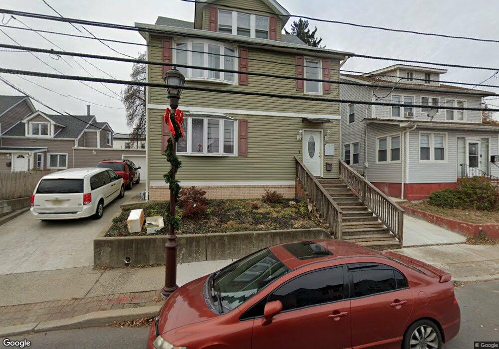
1200 Liberty Ave Hillside, NJ 07205
Estimated Value: $598,000 - $696,000
--
Bed
--
Bath
2,996
Sq Ft
$209/Sq Ft
Est. Value
About This Home
This home is located at 1200 Liberty Ave, Hillside, NJ 07205 and is currently estimated at $627,563, approximately $209 per square foot. 1200 Liberty Ave is a home located in Union County with nearby schools including Abram P. Morris-Saybrook Elementary School, Hurden Looker School, and Ola Edwards Community School.
Ownership History
Date
Name
Owned For
Owner Type
Purchase Details
Closed on
Aug 1, 1996
Sold by
Horniacek Joan
Bought by
Brum Jonair
Current Estimated Value
Home Financials for this Owner
Home Financials are based on the most recent Mortgage that was taken out on this home.
Original Mortgage
$126,900
Outstanding Balance
$9,509
Interest Rate
7.62%
Estimated Equity
$618,054
Create a Home Valuation Report for This Property
The Home Valuation Report is an in-depth analysis detailing your home's value as well as a comparison with similar homes in the area
Home Values in the Area
Average Home Value in this Area
Purchase History
| Date | Buyer | Sale Price | Title Company |
|---|---|---|---|
| Brum Jonair | $141,000 | -- |
Source: Public Records
Mortgage History
| Date | Status | Borrower | Loan Amount |
|---|---|---|---|
| Open | Brum Jonair | $126,900 |
Source: Public Records
Tax History Compared to Growth
Tax History
| Year | Tax Paid | Tax Assessment Tax Assessment Total Assessment is a certain percentage of the fair market value that is determined by local assessors to be the total taxable value of land and additions on the property. | Land | Improvement |
|---|---|---|---|---|
| 2025 | $12,355 | $149,700 | $56,800 | $92,900 |
| 2024 | $11,995 | $149,700 | $56,800 | $92,900 |
| 2023 | $11,995 | $149,700 | $56,800 | $92,900 |
| 2022 | $11,885 | $149,700 | $56,800 | $92,900 |
| 2021 | $11,807 | $149,700 | $56,800 | $92,900 |
| 2020 | $11,738 | $149,700 | $56,800 | $92,900 |
| 2019 | $11,510 | $149,700 | $56,800 | $92,900 |
| 2018 | $11,395 | $149,700 | $56,800 | $92,900 |
| 2017 | $11,326 | $149,700 | $56,800 | $92,900 |
| 2016 | $11,313 | $149,700 | $56,800 | $92,900 |
| 2015 | $11,213 | $149,700 | $56,800 | $92,900 |
| 2014 | $11,036 | $149,700 | $56,800 | $92,900 |
Source: Public Records
Map
Nearby Homes
- 105 Liberty Ct Unit 105
- 507 Locust Ave
- 292 Crann St
- 314 Fitzpatrick St
- 257 Herbert Ave
- 393 Harvard Ave
- 220 Silver Ave
- 1322 Marcella Dr
- 553 Harvard Ave
- 1393 Cornell Place
- 557 Yale Ave
- 525 Us Highway 22
- 1375 Brookfall Ave
- 537 Us Highway 22
- 542 Leo St
- 149 Baltimore Ave
- 155 Silver Ave
- 628 Us Highway 22 and 3
- 1282 Baker St
- 1290 Baker St
- 1204 Liberty Ave
- 1196 Liberty Ave Unit 1198
- 1196-1198 Liberty Ave
- 1201 Columbia Place
- 1197 Columbia Place
- 1205 Columbia Place
- 1193 Columbia Place
- 1193 Columbia Place Unit 2
- 1209 Columbia Place
- 1210 Liberty Ave
- 1201A Liberty Ave
- 1199A Liberty Ave
- 1203A Liberty Ave Unit 1203A
- 1203B Liberty Ave Unit 1203B
- 1199B Liberty Ave Unit 1199B
- 1205A Liberty Ave
- 1201 Liberty Ave
- 1201 Liberty Ave Unit A
- 1201 Liberty Ave
- 1197A Liberty Ave Unit 1197A