Estimated Value: $206,000 - $327,000
5
Beds
2
Baths
2,062
Sq Ft
$119/Sq Ft
Est. Value
About This Home
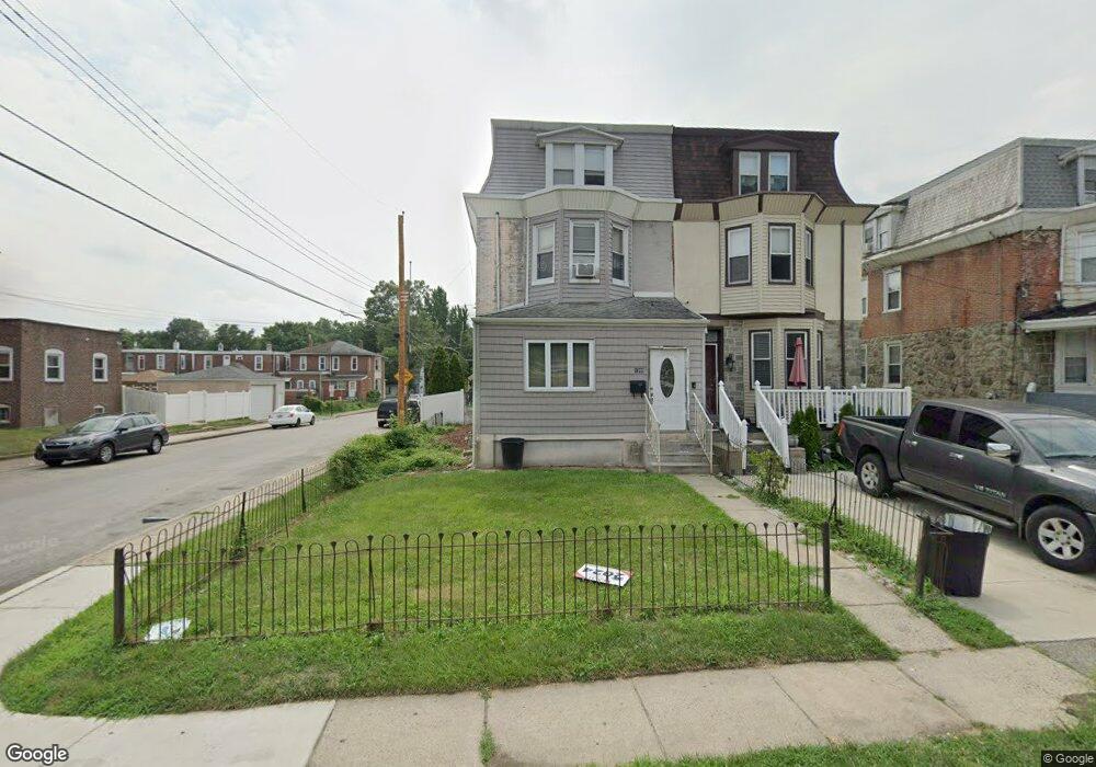
This home is located at 1200 Main St, Darby, PA 19023 and is currently estimated at $246,404, approximately $119 per square foot. 1200 Main St is a home located in Delaware County with nearby schools including Ardmore Avenue School, Penn Wood Middle School, and Penn Wood High School - Cypress Street Campus.
Ownership History
Date
Name
Owned For
Owner Type
Purchase Details
Closed on
Jun 21, 2010
Sold by
Jouthe Marie Agatha
Bought by
Scott John Bennett
Current Estimated Value
Home Financials for this Owner
Home Financials are based on the most recent Mortgage that was taken out on this home.
Original Mortgage
$120,175
Outstanding Balance
$76,076
Interest Rate
3.87%
Mortgage Type
FHA
Estimated Equity
$170,328
Purchase Details
Closed on
Jan 18, 2001
Sold by
Jouthe Andre
Bought by
Jouthe Andre and Jouthe Marie Agatha
Purchase Details
Closed on
Dec 29, 1995
Sold by
Hud
Bought by
Jouthe Andre
Home Financials for this Owner
Home Financials are based on the most recent Mortgage that was taken out on this home.
Original Mortgage
$34,750
Interest Rate
7.31%
Purchase Details
Closed on
Sep 25, 1995
Sold by
Fleet Real Estate Funding Corp
Bought by
Hud
Purchase Details
Closed on
Sep 12, 1995
Sold by
Osborne Ann
Bought by
Fleet Real Estate Funding Corp
Create a Home Valuation Report for This Property
The Home Valuation Report is an in-depth analysis detailing your home's value as well as a comparison with similar homes in the area
Home Values in the Area
Average Home Value in this Area
Purchase History
| Date | Buyer | Sale Price | Title Company |
|---|---|---|---|
| Scott John Bennett | $121,794 | None Available | |
| Jouthe Andre | -- | -- | |
| Jouthe Andre | $31,500 | Commonwealth Land Title Ins | |
| Hud | -- | -- | |
| Fleet Real Estate Funding Corp | -- | -- |
Source: Public Records
Mortgage History
| Date | Status | Borrower | Loan Amount |
|---|---|---|---|
| Open | Scott John Bennett | $120,175 | |
| Previous Owner | Jouthe Andre | $34,750 |
Source: Public Records
Tax History Compared to Growth
Tax History
| Year | Tax Paid | Tax Assessment Tax Assessment Total Assessment is a certain percentage of the fair market value that is determined by local assessors to be the total taxable value of land and additions on the property. | Land | Improvement |
|---|---|---|---|---|
| 2025 | $4,059 | $81,970 | $20,250 | $61,720 |
| 2024 | $4,059 | $81,970 | $20,250 | $61,720 |
| 2023 | $3,819 | $81,970 | $20,250 | $61,720 |
| 2022 | $3,715 | $81,970 | $20,250 | $61,720 |
| 2021 | $5,184 | $81,970 | $20,250 | $61,720 |
| 2020 | $3,947 | $54,030 | $12,720 | $41,310 |
| 2019 | $3,780 | $54,030 | $12,720 | $41,310 |
| 2018 | $3,734 | $54,030 | $0 | $0 |
| 2017 | $3,665 | $54,030 | $0 | $0 |
| 2016 | $297 | $54,030 | $0 | $0 |
| 2015 | $303 | $54,030 | $0 | $0 |
| 2014 | $297 | $54,030 | $0 | $0 |
Source: Public Records
Map
Nearby Homes
- 1143 Chestnut St
- 28 S 12th St
- 1125 Main St
- 1115 Chestnut St
- 1210 Berkley Rd
- 14 N Macdade Blvd
- 33 Mermont Cir
- 209 Weymouth Rd
- 134 S Macdade Blvd
- 1007 Tyler Ave
- 4 Creek Ave
- 27 Concord Rd
- 29 Concord Rd
- 1232 Edgehill Rd
- 1008 Springfield Rd
- 129 Branford Rd
- 1203 Edgehill Rd
- 1237 Edgehill Rd
- 1345 Park Ln
- 902 Maple Terrace