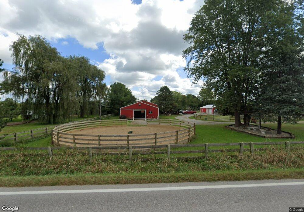
1200 Mount Eaton Rd S Dalton, OH 44618
Estimated Value: $206,000 - $409,645
3
Beds
1
Bath
1,152
Sq Ft
$267/Sq Ft
Est. Value
About This Home
This home is located at 1200 Mount Eaton Rd S, Dalton, OH 44618 and is currently estimated at $307,823, approximately $267 per square foot. 1200 Mount Eaton Rd S is a home located in Wayne County with nearby schools including Dalton Elementary School, Dalton Middle School, and Dalton High School.
Ownership History
Date
Name
Owned For
Owner Type
Purchase Details
Closed on
Jan 11, 2022
Sold by
Foster Michael D and Foster Barbara F
Bought by
Patrick D Sword And Pamela S Sword Irrevocabl and Sword Pamela S
Current Estimated Value
Purchase Details
Closed on
Feb 7, 1994
Sold by
Blackstone John C
Bought by
Foster Michael D and Foster Barbar
Purchase Details
Closed on
Nov 24, 1986
Bought by
Blackstone John C
Create a Home Valuation Report for This Property
The Home Valuation Report is an in-depth analysis detailing your home's value as well as a comparison with similar homes in the area
Home Values in the Area
Average Home Value in this Area
Purchase History
| Date | Buyer | Sale Price | Title Company |
|---|---|---|---|
| Patrick D Sword And Pamela S Sword Irrevocabl | -- | Taggart Law Firm | |
| Foster Michael D | $185,000 | -- | |
| Blackstone John C | -- | -- |
Source: Public Records
Tax History Compared to Growth
Tax History
| Year | Tax Paid | Tax Assessment Tax Assessment Total Assessment is a certain percentage of the fair market value that is determined by local assessors to be the total taxable value of land and additions on the property. | Land | Improvement |
|---|---|---|---|---|
| 2024 | $2,556 | $116,630 | $74,420 | $42,210 |
| 2023 | $2,556 | $109,030 | $74,420 | $34,610 |
| 2022 | $2,023 | $109,030 | $74,420 | $34,610 |
| 2021 | $2,090 | $117,510 | $82,900 | $34,610 |
| 2020 | $2,120 | $117,510 | $82,900 | $34,610 |
| 2019 | $1,578 | $79,310 | $57,620 | $21,690 |
| 2018 | $1,587 | $79,310 | $57,620 | $21,690 |
| 2017 | $1,628 | $79,310 | $57,620 | $21,690 |
| 2016 | $1,726 | $69,540 | $47,850 | $21,690 |
| 2015 | $1,691 | $69,540 | $47,850 | $21,690 |
| 2014 | $1,701 | $69,540 | $47,850 | $21,690 |
| 2013 | $1,473 | $70,740 | $48,370 | $22,370 |
Source: Public Records
Map
Nearby Homes
- 29 Mill St N
- 209 Greenbriar Ln
- 865 SW Lebanon Rd
- 119 Briarwood Dr
- 0 Dalton Fox Lake Rd
- 223 Tanglewood Dr
- 110 NW Lebanon Rd Unit Lot 62
- 14533 Arnold Rd
- 14003 Highview Dr
- 13946 Highview Dr
- 13877 Highview Dr
- 1821 Deerfield Ave N
- 15299 Lincoln Way W
- 16450 Church Rd
- 740 Kidron Rd
- 12428 Arnold Rd
- 18803 Church Rd
- 15113 Stanwood St
- 14656 Lincoln St
- 4860 SW Lebanon Rd
- 1040 Mount Eaton Rd S
- 979 Mount Eaton Rd S
- 1189 Mount Eaton Rd S
- 1241 Mount Eaton Rd S
- 744 Mount Eaton Rd S
- 787 Mount Eaton Rd S
- 983 Mount Eaton Rd S
- 1187 Mount Eaton Rd S
- 745 Mount Eaton Rd S
- 987 Mount Eaton Rd S
- 1183 Mount Eaton Rd S
- 227 Skyview Cir
- 681 Mount Eaton Rd S
- 993 Mount Eaton Rd S
- 1159 Mount Eaton Rd S
- 1043 Mount Eaton Rd S
- 223 Skyview Cir
- 1099 Mount Eaton Rd S
- 364 Mill St S
- 226 Skyview Cir