1200 N 20th St Unit 1 Morehead City, NC 28557
Estimated Value: $5,294,126
2
Beds
2
Baths
--
Sq Ft
15.81
Acres
About This Home
This home is located at 1200 N 20th St Unit 1, Morehead City, NC 28557 and is currently estimated at $5,294,126. 1200 N 20th St Unit 1 is a home located in Carteret County with nearby schools including Morehead City Primary School, Morehead Elementary School at Camp Glenn, and Morehead City Middle School.
Ownership History
Date
Name
Owned For
Owner Type
Purchase Details
Closed on
Dec 11, 2020
Sold by
Wheel Estate Investment Properties Llc
Bought by
Mvf Pelican Point Llc
Current Estimated Value
Home Financials for this Owner
Home Financials are based on the most recent Mortgage that was taken out on this home.
Original Mortgage
$2,000,000
Outstanding Balance
$1,783,772
Interest Rate
2.8%
Mortgage Type
Credit Line Revolving
Estimated Equity
$3,510,354
Purchase Details
Closed on
Sep 3, 2002
Purchase Details
Closed on
Mar 9, 2001
Purchase Details
Closed on
Jul 5, 1992
Create a Home Valuation Report for This Property
The Home Valuation Report is an in-depth analysis detailing your home's value as well as a comparison with similar homes in the area
Home Values in the Area
Average Home Value in this Area
Purchase History
| Date | Buyer | Sale Price | Title Company |
|---|---|---|---|
| Mvf Pelican Point Llc | -- | None Available | |
| Mvf Pelican Point Llc | $3,570,000 | None Available | |
| -- | $1,850,000 | -- | |
| -- | $1,200,000 | -- | |
| -- | -- | -- | |
| -- | $600,000 | -- |
Source: Public Records
Mortgage History
| Date | Status | Borrower | Loan Amount |
|---|---|---|---|
| Open | Mvf Pelican Point Llc | $2,000,000 |
Source: Public Records
Tax History Compared to Growth
Tax History
| Year | Tax Paid | Tax Assessment Tax Assessment Total Assessment is a certain percentage of the fair market value that is determined by local assessors to be the total taxable value of land and additions on the property. | Land | Improvement |
|---|---|---|---|---|
| 2025 | $9,954 | $1,754,080 | $1,250,080 | $504,000 |
| 2024 | $12,135 | $1,618,043 | $830,025 | $788,018 |
| 2023 | $5,516 | $1,618,043 | $830,025 | $788,018 |
| 2022 | $5,355 | $1,618,043 | $830,025 | $788,018 |
| 2021 | $5,330 | $1,610,693 | $822,675 | $788,018 |
| 2020 | $5,330 | $1,610,693 | $822,675 | $788,018 |
| 2019 | $6,850 | $2,204,870 | $0 | $2,204,870 |
| 2017 | $6,850 | $2,204,870 | $0 | $2,204,870 |
| 2016 | $6,850 | $2,204,870 | $0 | $2,204,870 |
| 2015 | $6,630 | $2,204,870 | $0 | $2,204,870 |
| 2014 | $6,630 | $2,204,870 | $0 | $2,204,870 |
Source: Public Records
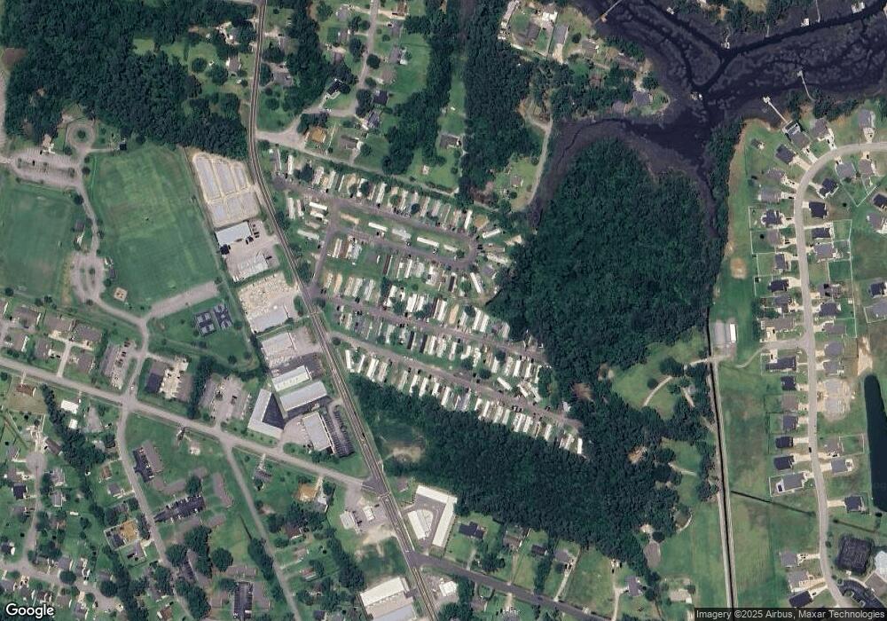
Map
Nearby Homes
- 1807 Olde Farm Rd
- 1718 Olde Farm Rd
- 1823 Olde Farm Rd
- 1714 Olde Farm Rd
- 1811 Oglesby Rd
- 1710 Olde Farm Rd
- 2408 Bradford St
- 1407 Fathom Way
- 1317 Fathom Way
- 1315 Fathom Way
- 1304 Fathom Way
- 1309 Fathom Way
- 1827 Olde Farm Rd
- 909 N 20th St
- 914 Harrell Dr
- 1213 Lantern Way
- 1815 Paulette Rd
- 1602 Mainsail Rd
- 1315 Barnacle Ln
- 2412 Mayberry Loop Rd
- 1200 N 20th St
- 138 Shep Willis Rd
- 0 N 20th St
- 1 N 20th St
- 1908 Shep Willis Rd
- 1836 Shep Willis Rd
- 1900 Shep Willis Rd
- 1916 Shep Willis Rd
- 1205 N 20th St
- 1220 Creek Rd
- 1104 N 20th St
- 1922 Shep Willis Rd
- 2010 Mayberry Loop Rd Unit 106B
- 2010 Mayberry Loop Rd Unit 105B
- 2010 Mayberry Loop Rd Unit 104B
- 2010 Mayberry Loop Rd Unit 103B
- 2010 Mayberry Loop Rd Unit 102B
- 2010 Mayberry Loop Rd Unit 101B
- 2010 Mayberry Loop Rd Unit 101-B to 106-B
- 1222 Creek Rd