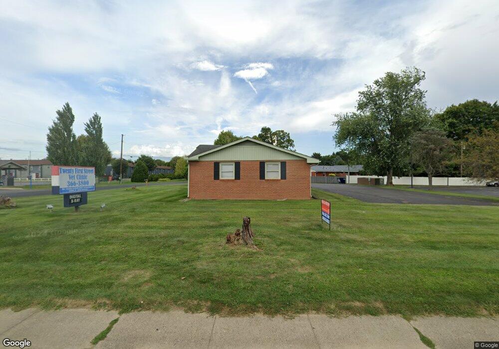
1200 N 21st St Newark, OH 43055
Estimated Value: $525,653
4
Beds
1
Bath
3,038
Sq Ft
$173/Sq Ft
Est. Value
About This Home
This home is located at 1200 N 21st St, Newark, OH 43055 and is currently estimated at $525,653, approximately $173 per square foot. 1200 N 21st St is a home located in Licking County with nearby schools including John Clem Elementary School, Liberty Middle School, and Newark High School.
Ownership History
Date
Name
Owned For
Owner Type
Purchase Details
Closed on
Jan 31, 2025
Sold by
Mattingly Enterprises Llc
Bought by
Driven Brands Inc
Current Estimated Value
Purchase Details
Closed on
Dec 15, 2023
Sold by
Underwood James G
Bought by
Mattingly Ents Llc
Purchase Details
Closed on
May 19, 2008
Sold by
Mckivergin James E
Bought by
Underwood James G
Purchase Details
Closed on
Jul 30, 2003
Sold by
Mckivergin James and Mckivergin Elisabeth
Bought by
Mckivergin James E and James E Mckivergin Iii
Create a Home Valuation Report for This Property
The Home Valuation Report is an in-depth analysis detailing your home's value as well as a comparison with similar homes in the area
Home Values in the Area
Average Home Value in this Area
Purchase History
| Date | Buyer | Sale Price | Title Company |
|---|---|---|---|
| Driven Brands Inc | $500,000 | None Listed On Document | |
| Mattingly Ents Llc | $300,000 | None Listed On Document | |
| Underwood James G | $300,000 | Attorney | |
| Mckivergin James E | -- | -- |
Source: Public Records
Tax History Compared to Growth
Tax History
| Year | Tax Paid | Tax Assessment Tax Assessment Total Assessment is a certain percentage of the fair market value that is determined by local assessors to be the total taxable value of land and additions on the property. | Land | Improvement |
|---|---|---|---|---|
| 2024 | $5,689 | $137,940 | $63,350 | $74,590 |
| 2023 | $7,062 | $132,550 | $57,960 | $74,590 |
| 2022 | $4,623 | $96,960 | $52,680 | $44,280 |
| 2021 | $4,870 | $96,960 | $52,680 | $44,280 |
| 2020 | $4,959 | $96,960 | $52,680 | $44,280 |
| 2019 | $4,989 | $96,960 | $52,680 | $44,280 |
| 2018 | $5,027 | $0 | $0 | $0 |
| 2017 | $4,771 | $0 | $0 | $0 |
| 2016 | $5,057 | $0 | $0 | $0 |
| 2015 | $5,177 | $0 | $0 | $0 |
| 2014 | $5,938 | $0 | $0 | $0 |
| 2013 | $4,989 | $0 | $0 | $0 |
Source: Public Records
Map
Nearby Homes
- 1049 Sunrise Dr
- 259 Goosepond Rd Unit C
- 261 Goosepond Rd Unit D
- 267 Goosepond Rd Unit A
- 440 Reverie Place
- 473 Meadowbrook Dr
- 370 Meadowbrook Dr
- 403 Meadowbrook Dr
- 988 Mount Vernon Rd
- 1495 Kenarbre Dr
- 584 Moull St Unit A
- 227 N Quentin Rd
- 11 Waterworks Rd
- 892 Shelbourne Place Unit 892
- 1518 Constitution Ct
- 336 Myrtle Ave
- 188 Meadow Dr
- 184 Meadow Dr
- 139 Aqueduct Ave
- 74 Cherry St
- 1189 Pierson Dr
- 1175 Pierson Dr
- 1194 Pierson Dr
- 1163 Pierson Dr
- 1184 Pierson Dr
- 402 Pierson Blvd
- 1149 Pierson Dr
- 1199 Cranwood Dr
- 1185 Cranwood Dr
- 1152 Pierson Dr
- 1171 Cranwood Dr
- 1135 Pierson Dr
- 1246 N 21st St
- 1138 Pierson Dr
- 393 Pierson Blvd
- 1126 Pierson Blvd
- 1126 Pierson Dr
- 1200 Cranwood Dr
- 1186 Cranwood Dr
- 1137 Cranwood Dr