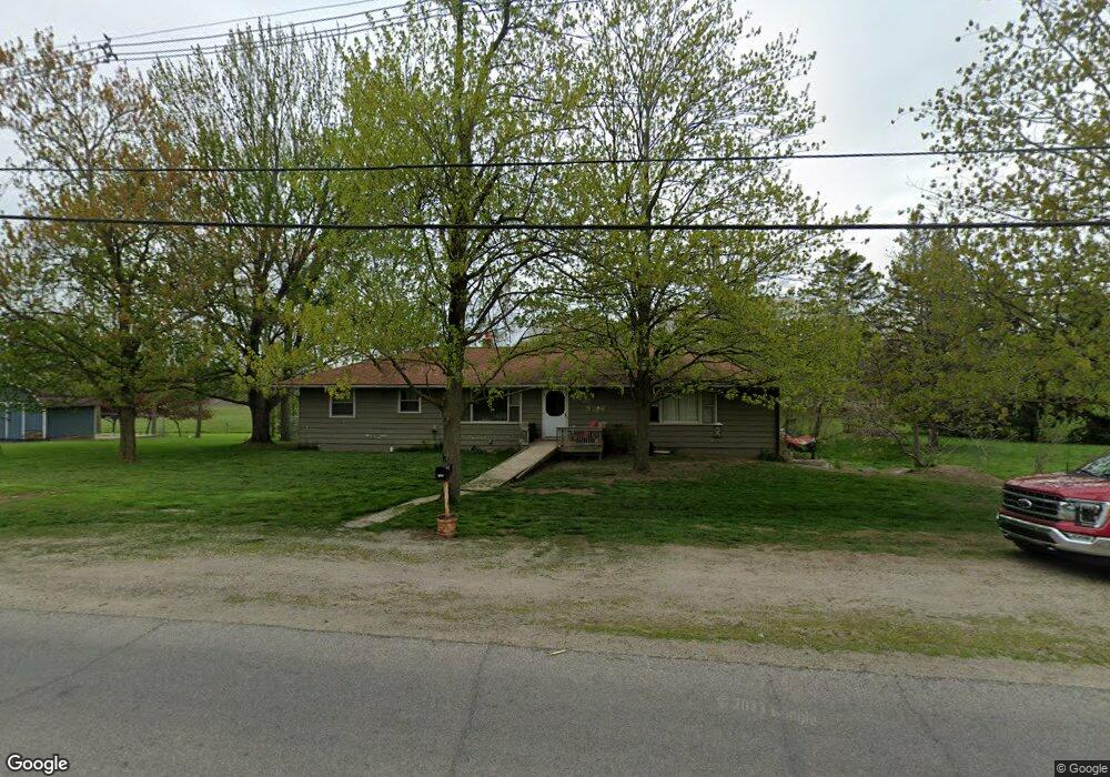
1200 Oakwood Ave Adrian, MI 49221
Estimated Value: $242,488 - $244,000
3
Beds
1
Bath
1,600
Sq Ft
$152/Sq Ft
Est. Value
About This Home
This home is located at 1200 Oakwood Ave, Adrian, MI 49221 and is currently estimated at $243,163, approximately $151 per square foot. 1200 Oakwood Ave is a home located in Lenawee County with nearby schools including Adrian High School, St. Joseph Academy, and St. Joseph's Academy.
Ownership History
Date
Name
Owned For
Owner Type
Purchase Details
Closed on
Dec 8, 2021
Sold by
Leon Richard J
Bought by
Leon Richard J and Leon Jennifer L
Current Estimated Value
Home Financials for this Owner
Home Financials are based on the most recent Mortgage that was taken out on this home.
Original Mortgage
$100,000
Outstanding Balance
$91,813
Interest Rate
2.98%
Mortgage Type
Stand Alone Refi Refinance Of Original Loan
Estimated Equity
$151,350
Purchase Details
Closed on
Apr 25, 2003
Bought by
Leon Richard J
Create a Home Valuation Report for This Property
The Home Valuation Report is an in-depth analysis detailing your home's value as well as a comparison with similar homes in the area
Home Values in the Area
Average Home Value in this Area
Purchase History
| Date | Buyer | Sale Price | Title Company |
|---|---|---|---|
| Leon Richard J | -- | Misc Company | |
| Leon Richard J | $14,000 | -- |
Source: Public Records
Mortgage History
| Date | Status | Borrower | Loan Amount |
|---|---|---|---|
| Open | Leon Richard J | $100,000 |
Source: Public Records
Tax History Compared to Growth
Tax History
| Year | Tax Paid | Tax Assessment Tax Assessment Total Assessment is a certain percentage of the fair market value that is determined by local assessors to be the total taxable value of land and additions on the property. | Land | Improvement |
|---|---|---|---|---|
| 2025 | $2,368 | $111,000 | $0 | $0 |
| 2024 | $1,268 | $110,600 | $0 | $0 |
| 2022 | $1,149 | $89,900 | $0 | $0 |
| 2021 | $3,168 | $79,900 | $0 | $0 |
| 2020 | $1,806 | $73,000 | $0 | $0 |
| 2019 | $172,780 | $66,600 | $0 | $0 |
| 2018 | $1,743 | $66,564 | $0 | $0 |
| 2017 | $1,677 | $64,395 | $0 | $0 |
| 2016 | $1,665 | $62,252 | $0 | $0 |
| 2014 | -- | $62,797 | $0 | $0 |
Source: Public Records
Map
Nearby Homes
- 4571 N Adrian Hwy
- 3264 N Adrian Hwy
- 841 Addison St
- 821 Ormsby St
- 803 Ormsby St
- 826 N Locust St
- 817 N Locust St
- 3157 N Adrian Hwy
- 3030 Pender Ct
- 417 E Hunt St
- 516 E Hunt St
- 710 N Broad St
- 612 Clinton St
- 3185 Pender Ct
- 518 N Locust St
- 423 E Butler St
- 911 E Front St
- 1023 E Church St
- 150 E Hunt St
- 1108 Frank St
- 1170 Oakwood Ave
- 2205 Howell Hwy
- 2000 Howell Hwy
- 2265 Howell Hwy
- 1898 Howell Hwy
- 1000 Oakwood Ave Unit BLK
- 1000 Oakwood Ave Unit BLK
- 1000 Oakwood Ave Unit BLK
- 1000 Oakwood Ave Unit BLK
- 1000 Oakwood Ave Unit BLK
- 1000 Oakwood Ave Unit BLK
- 1147 Oakwood Ave
- 1147 Oakwood Ave Unit OAK WOOD
- 1833 Howell Hwy
- 1143 Oakwood Ave
- 1253 Oakwood Ave
- 1760 Howell Hwy
- 1755 Howell Hwy
- 1275 Oakwood Ave
- 1750 Howell Hwy