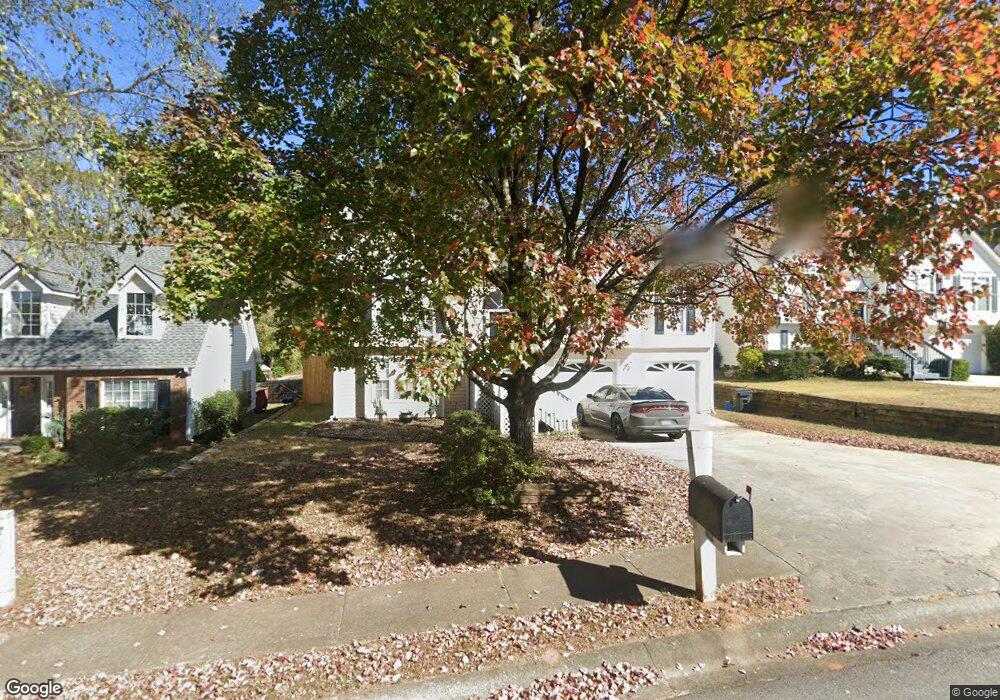
1200 Polaris Ct Unit II Lawrenceville, GA 30045
Estimated Value: $347,692 - $386,000
3
Beds
2
Baths
1,390
Sq Ft
$264/Sq Ft
Est. Value
About This Home
This home is located at 1200 Polaris Ct Unit II, Lawrenceville, GA 30045 and is currently estimated at $366,673, approximately $263 per square foot. 1200 Polaris Ct Unit II is a home located in Gwinnett County with nearby schools including Starling Elementary School, Couch Middle School, and Grayson High School.
Ownership History
Date
Name
Owned For
Owner Type
Purchase Details
Closed on
Sep 10, 1999
Sold by
Fowler Leonard R and Fowler Sally A
Bought by
Diaz Carlos L and Diaz Pamela D
Current Estimated Value
Home Financials for this Owner
Home Financials are based on the most recent Mortgage that was taken out on this home.
Original Mortgage
$128,600
Outstanding Balance
$38,389
Interest Rate
7.91%
Mortgage Type
New Conventional
Estimated Equity
$328,284
Purchase Details
Closed on
Aug 31, 1995
Sold by
Knight Devel
Bought by
Fowler Leonard Sally
Create a Home Valuation Report for This Property
The Home Valuation Report is an in-depth analysis detailing your home's value as well as a comparison with similar homes in the area
Home Values in the Area
Average Home Value in this Area
Purchase History
| Date | Buyer | Sale Price | Title Company |
|---|---|---|---|
| Diaz Carlos L | $135,400 | -- | |
| Fowler Leonard Sally | $124,800 | -- |
Source: Public Records
Mortgage History
| Date | Status | Borrower | Loan Amount |
|---|---|---|---|
| Open | Diaz Carlos L | $128,600 | |
| Closed | Fowler Leonard Sally | $0 |
Source: Public Records
Tax History Compared to Growth
Tax History
| Year | Tax Paid | Tax Assessment Tax Assessment Total Assessment is a certain percentage of the fair market value that is determined by local assessors to be the total taxable value of land and additions on the property. | Land | Improvement |
|---|---|---|---|---|
| 2024 | $859 | $132,480 | $26,120 | $106,360 |
| 2023 | $859 | $122,520 | $22,800 | $99,720 |
| 2022 | $812 | $122,520 | $22,800 | $99,720 |
| 2021 | $805 | $94,080 | $18,400 | $75,680 |
| 2020 | $803 | $84,720 | $15,200 | $69,520 |
| 2019 | $2,328 | $74,480 | $15,200 | $59,280 |
| 2018 | $2,176 | $67,520 | $12,800 | $54,720 |
| 2016 | $2,051 | $60,680 | $10,800 | $49,880 |
| 2015 | $1,885 | $52,200 | $10,800 | $41,400 |
| 2014 | $1,212 | $31,880 | $6,000 | $25,880 |
Source: Public Records
Map
Nearby Homes
- 1190 Polaris Ct
- 1210 Polaris Ct
- 1210 Polaris Ct Unit 1210
- 0 Polaris Ct Unit 7535891
- 0 Polaris Ct Unit 7147474
- 0 Polaris Ct Unit 8377457
- 0 Polaris Ct Unit 3230891
- 0 Polaris Ct Unit 7113722
- 0 Polaris Ct Unit 7218042
- 0 Polaris Ct Unit 7084303
- 0 Polaris Ct Unit 8678325
- 0 Polaris Ct Unit 8604213
- 0 Polaris Ct Unit 7229945
- 0 Polaris Ct Unit 7026818
- 0 Polaris Ct
- 845 Old Johnson Rd
- 1180 Polaris Ct
- 1220 Polaris Ct Unit 2
- 835 Old Johnson Rd
- 840 Old Johnson Rd Unit II