Estimated Value: $477,000 - $870,000
3
Beds
3
Baths
2,709
Sq Ft
$239/Sq Ft
Est. Value
About This Home
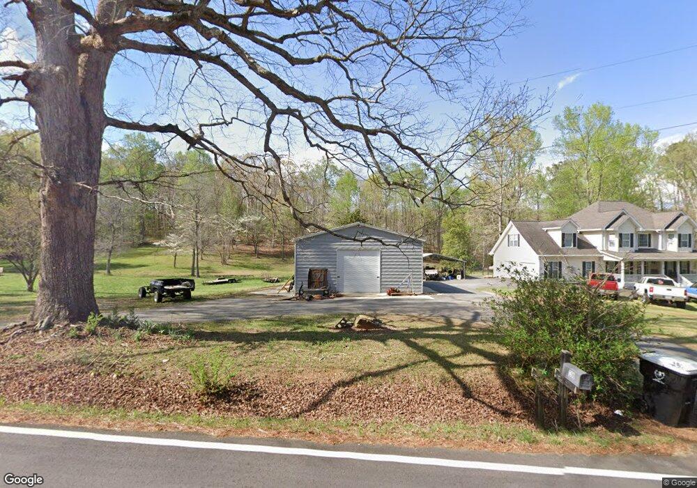
This home is located at 1200 Rich Davis Rd, Hiram, GA 30141 and is currently estimated at $648,002, approximately $239 per square foot. 1200 Rich Davis Rd is a home located in Paulding County with nearby schools including Sam D. Panter Elementary School, J. A. Dobbins Middle School, and Hiram High School.
Ownership History
Date
Name
Owned For
Owner Type
Purchase Details
Closed on
Oct 1, 2010
Sold by
Martin David T and Martin Jennifer M
Bought by
Martin Ronnie and Martin Michelle
Current Estimated Value
Create a Home Valuation Report for This Property
The Home Valuation Report is an in-depth analysis detailing your home's value as well as a comparison with similar homes in the area
Home Values in the Area
Average Home Value in this Area
Purchase History
| Date | Buyer | Sale Price | Title Company |
|---|---|---|---|
| Martin Ronnie | $306,700 | -- |
Source: Public Records
Tax History Compared to Growth
Tax History
| Year | Tax Paid | Tax Assessment Tax Assessment Total Assessment is a certain percentage of the fair market value that is determined by local assessors to be the total taxable value of land and additions on the property. | Land | Improvement |
|---|---|---|---|---|
| 2024 | $4,375 | $256,832 | $84,440 | $172,392 |
| 2023 | $5,148 | $200,000 | $54,760 | $145,240 |
| 2022 | $4,497 | $174,392 | $44,560 | $129,832 |
| 2021 | $3,882 | $135,432 | $35,400 | $100,032 |
| 2020 | $3,649 | $124,716 | $33,440 | $91,276 |
| 2019 | $3,426 | $115,548 | $35,400 | $80,148 |
| 2018 | $3,442 | $116,104 | $34,240 | $81,864 |
| 2017 | $3,181 | $105,984 | $32,760 | $73,224 |
| 2016 | $2,784 | $92,088 | $32,760 | $59,328 |
| 2015 | $2,711 | $88,096 | $32,200 | $55,896 |
| 2014 | $2,541 | $80,500 | $29,560 | $50,940 |
| 2013 | -- | $79,440 | $32,360 | $47,080 |
Source: Public Records
Map
Nearby Homes
- 1130 Rich Davis Rd
- 1260 Rich Davis Rd
- 1301 Rich Davis Rd
- 1048 Rich Davis Rd
- 1075 Rich Davis Rd
- 1030 Rich Davis Rd
- 1071 Mcclung Rd
- 970 Rich Davis Rd Unit B
- 970 Rich Davis Rd Unit A
- 970 Rich Davis Rd
- 722 Rich Davis Rd Unit A
- 722 Rich Davis Rd
- 722 Rich Davis Rd Unit A
- 722 Rich Davis Rd Unit B
- 722 Rich Davis Rd
- 722 Rich Davis Rd Unit 3 A
- 1009 Rich Davis Rd
- 2 Mitchell Dr
- 54 Doe Ln
- 5 Mitchell Dr