1200 Riverside Dr, Unit 1234 Reno, NV 89503
Downtown Reno NeighborhoodEstimated Value: $278,000 - $401,000
1
Bed
2
Baths
1,304
Sq Ft
$270/Sq Ft
Est. Value
About This Home
This home is located at 1200 Riverside Dr Unit 1234, Reno, NV 89503 and is currently estimated at $352,053, approximately $269 per square foot. 1200 Riverside Dr Unit 1234 is a home located in Washoe County with nearby schools including Hunter Lake Elementary School, Darrell C Swope Middle School, and Reno High School.
Ownership History
Date
Name
Owned For
Owner Type
Purchase Details
Closed on
Nov 30, 2020
Sold by
Wilbur Lynn Taylor and Maser Family Living Trust
Bought by
Maser Richard A
Current Estimated Value
Purchase Details
Closed on
Sep 7, 2005
Sold by
Purcell Leah A
Bought by
Purcell Bruce G
Purchase Details
Closed on
Sep 6, 2005
Sold by
Purcell Bruce G
Bought by
Maser Richard N and Maser Nancy L
Purchase Details
Closed on
Mar 6, 2003
Sold by
Purcell Bruce G
Bought by
Purcell Bruce G and Sedlock Joanne V
Purchase Details
Closed on
Mar 26, 2002
Sold by
Hotta Shoma
Bought by
Purcell Bruce G
Purchase Details
Closed on
Feb 27, 1996
Sold by
Mumby Jonathan
Bought by
Hotta Shoma
Create a Home Valuation Report for This Property
The Home Valuation Report is an in-depth analysis detailing your home's value as well as a comparison with similar homes in the area
Home Values in the Area
Average Home Value in this Area
Purchase History
| Date | Buyer | Sale Price | Title Company |
|---|---|---|---|
| Maser Richard A | -- | None Available | |
| Purcell Bruce G | -- | Stewart Title Of Northern Nv | |
| Maser Richard N | $252,000 | Stewart Title Of Northern Nv | |
| Purcell Bruce G | $104,066 | -- | |
| Purcell Bruce G | $137,500 | Founders Title Co | |
| Hotta Shoma | $90,000 | Stewart Title |
Source: Public Records
Tax History
| Year | Tax Paid | Tax Assessment Tax Assessment Total Assessment is a certain percentage of the fair market value that is determined by local assessors to be the total taxable value of land and additions on the property. | Land | Improvement |
|---|---|---|---|---|
| 2026 | $833 | $53,813 | $26,950 | $26,863 |
| 2024 | $1,083 | $52,987 | $26,145 | $26,842 |
| 2023 | $1,051 | $50,058 | $26,145 | $23,913 |
| 2022 | $1,021 | $40,928 | $20,930 | $19,998 |
| 2021 | $992 | $36,724 | $16,485 | $20,239 |
| 2020 | $961 | $35,863 | $14,630 | $21,233 |
| 2019 | $933 | $37,412 | $16,065 | $21,347 |
| 2018 | $906 | $31,430 | $9,975 | $21,455 |
| 2017 | $879 | $31,271 | $8,960 | $22,311 |
| 2016 | $857 | $31,437 | $8,435 | $23,002 |
| 2015 | $643 | $29,232 | $5,390 | $23,842 |
| 2014 | $833 | $24,679 | $4,025 | $20,654 |
| 2013 | -- | $21,960 | $3,430 | $18,530 |
Source: Public Records
About This Building
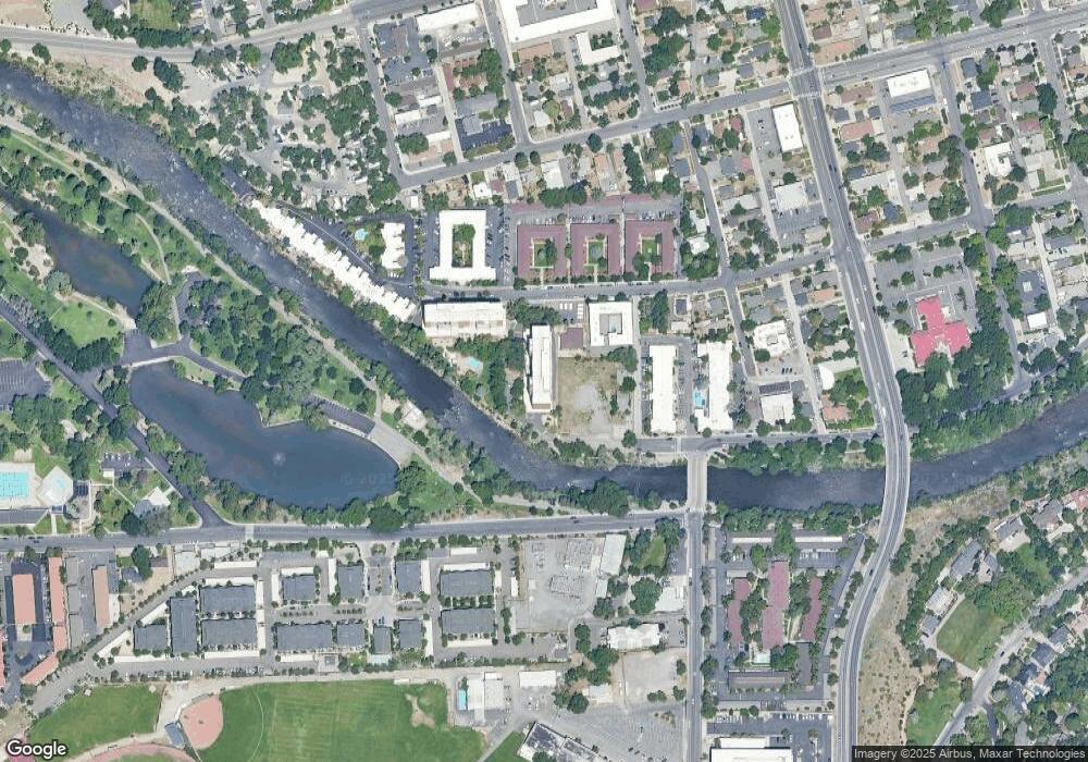
Map
Nearby Homes
- 1200 Riverside Dr Unit 1271
- 1340 Jones St
- 112 Keystone Ave Unit 1/2
- 138 Keystone Ave
- 144 Keystone Ave
- 745 California Ave
- 631 California Ave
- 619 Marsh Ave
- 611 Nixon Ave
- 596 California Ave
- 0 California Ave Unit 250054017
- 0 California Ave Unit 250053123
- 0 California Ave Unit 250053399
- 590 Saint Lawrence Ave
- 650 John Fremont Dr
- 512 Island Ave
- 508 Island Ave
- 1433 Foster Dr
- 2091 W 4th St
- 625 Hunter Lake Dr
- 1200 Riverside Dr Unit 1264
- 1200 Riverside Dr Unit 1269
- 1200 Riverside Dr Unit 1247
- 1200 Riverside Dr Unit 1227
- 1200 Riverside Dr Unit 1256
- 1200 Riverside Dr Unit 1229
- 1200 Riverside Dr Unit 1203
- 1200 Riverside Dr Unit 1224
- 1200 Riverside Dr Unit 1259
- 1200 Riverside Dr Unit 1211
- 1200 Riverside Dr Unit 1282
- 1200 Riverside Dr Unit 1237
- 1200 Riverside Dr Unit 1253
- 1200 Riverside Dr Unit 1230
- 1200 Riverside Dr Unit 1209
- 1200 Riverside Dr Unit 1245
- 1200 Riverside Dr Unit 1207
- 1200 Riverside Dr Unit 1206
- 1200 Riverside Dr Unit 1254
- 1200 Riverside Dr Unit 1236