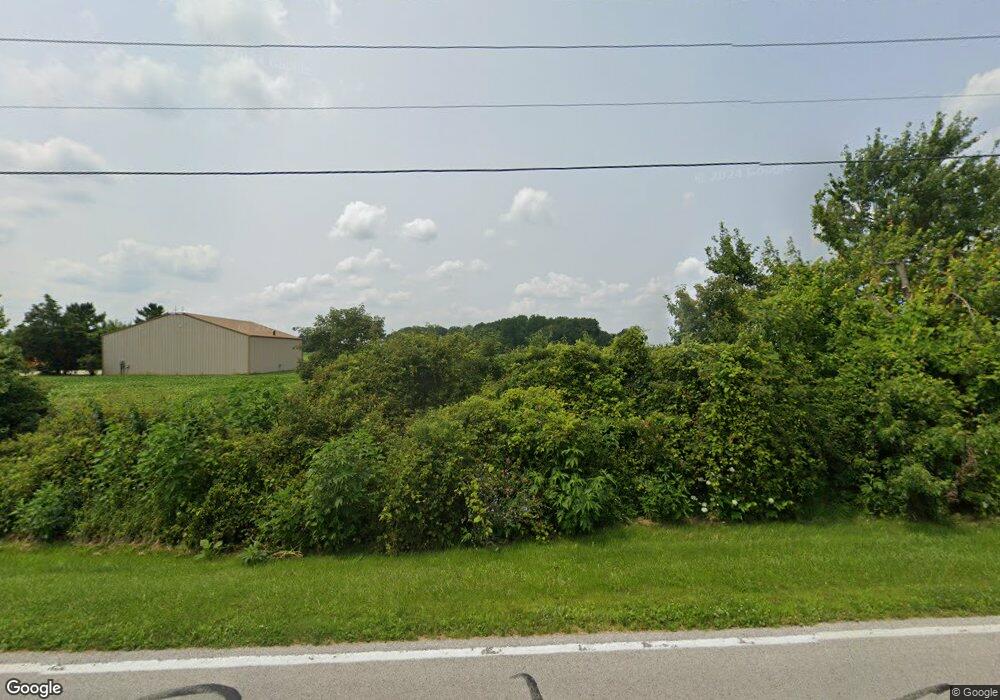
1200 S Decant Rd Curtice, OH 43412
Estimated Value: $543,000 - $585,000
3
Beds
2
Baths
2,085
Sq Ft
$267/Sq Ft
Est. Value
About This Home
This home is located at 1200 S Decant Rd, Curtice, OH 43412 and is currently estimated at $556,645, approximately $266 per square foot. 1200 S Decant Rd is a home located in Lucas County.
Ownership History
Date
Name
Owned For
Owner Type
Purchase Details
Closed on
Jan 23, 2025
Sold by
Thompson Catherine M and Thompson Darrell G
Bought by
Hodges Benjamin E and Hodges Jamie N
Current Estimated Value
Home Financials for this Owner
Home Financials are based on the most recent Mortgage that was taken out on this home.
Original Mortgage
$410,000
Outstanding Balance
$407,103
Interest Rate
6.72%
Mortgage Type
Credit Line Revolving
Estimated Equity
$149,542
Purchase Details
Closed on
Dec 14, 2022
Sold by
Charles T Gradel Trust
Bought by
Thompson Catherine M
Purchase Details
Closed on
Sep 11, 1991
Sold by
Labounty R A and C A
Create a Home Valuation Report for This Property
The Home Valuation Report is an in-depth analysis detailing your home's value as well as a comparison with similar homes in the area
Home Values in the Area
Average Home Value in this Area
Purchase History
| Date | Buyer | Sale Price | Title Company |
|---|---|---|---|
| Hodges Benjamin E | $550,000 | None Listed On Document | |
| Thompson Catherine M | -- | Northwest Title Agency Of Ohio | |
| -- | -- | -- |
Source: Public Records
Mortgage History
| Date | Status | Borrower | Loan Amount |
|---|---|---|---|
| Open | Hodges Benjamin E | $410,000 |
Source: Public Records
Tax History Compared to Growth
Tax History
| Year | Tax Paid | Tax Assessment Tax Assessment Total Assessment is a certain percentage of the fair market value that is determined by local assessors to be the total taxable value of land and additions on the property. | Land | Improvement |
|---|---|---|---|---|
| 2024 | $2,965 | $110,635 | $12,460 | $98,175 |
| 2023 | $6,939 | $108,010 | $17,745 | $90,265 |
| 2022 | $6,389 | $108,010 | $17,745 | $90,265 |
| 2021 | $6,430 | $108,010 | $17,745 | $90,265 |
| 2020 | $5,788 | $89,425 | $14,700 | $74,725 |
| 2019 | $5,519 | $89,425 | $14,700 | $74,725 |
| 2018 | $5,498 | $89,425 | $14,700 | $74,725 |
| 2017 | $4,955 | $77,175 | $8,645 | $68,530 |
| 2016 | $4,897 | $220,500 | $24,700 | $195,800 |
| 2015 | $4,867 | $220,500 | $24,700 | $195,800 |
| 2014 | $4,561 | $77,180 | $8,650 | $68,530 |
| 2013 | $4,561 | $77,180 | $8,650 | $68,530 |
Source: Public Records
Map
Nearby Homes
- 9440 Seaman Rd
- 10208 Corduroy Rd
- 11103 Dyke Rd
- 541 Temple Rd
- 7330 Jerusalem Rd
- 725 Donovan Rd
- 1830 Lilias Dr
- 1862 Lilias Dr
- 11965 Dyke Rd
- 7733 Brown Rd
- 5911 Plympton Cir
- 11931 Rachel Rd
- 6927 N Wildacre Rd
- 11661 Veler Rd
- 12403 Lagoon Dr
- 5243 Eagles Landing Dr
- 12504 La Fontaine Dr
- 5102 Bay Ridge Ct
- 1633 Grand Bay Dr
- 12643 Lagoon Dr
- 8945 Cedar Point Rd
- 8905 Cedar Point Rd
- 8902 Cedar Point Rd
- 8859 Cedar Point Rd
- 8936 Cedar Point Rd
- 8970 Cedar Point Rd
- 8830 Cedar Point Rd
- 8816 Cedar Point Rd
- 1045 N Decant Rd
- 8810 Cedar Point Rd
- 1069 N Decant Rd
- 8971 Cedar Point Rd
- 8820 Cedar Point Rd
- 1005 N Decant Rd
- 1041 N Decant Rd
- 1027 N Decant Rd
- 8770 Cedar Point Rd
- 915 N Decant Rd
- 8760 Cedar Point Rd
- 8750 Cedar Point Rd
