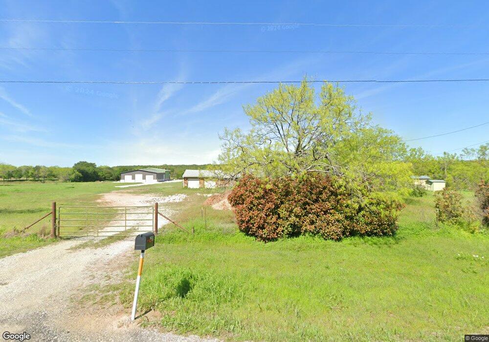
1200 S Fm 113 Millsap, TX 76066
Estimated Value: $381,000 - $621,385
2
Beds
2
Baths
1,648
Sq Ft
$304/Sq Ft
Est. Value
About This Home
This home is located at 1200 S Fm 113, Millsap, TX 76066 and is currently estimated at $501,193, approximately $304 per square foot. 1200 S Fm 113 is a home located in Parker County with nearby schools including Millsap Elementary School, Millsap Middle School, and Millsap High School.
Ownership History
Date
Name
Owned For
Owner Type
Purchase Details
Closed on
Aug 27, 2018
Sold by
Tom Annunziato
Bought by
Brooks Philip and Brooks Joanna
Current Estimated Value
Home Financials for this Owner
Home Financials are based on the most recent Mortgage that was taken out on this home.
Original Mortgage
$300,000
Outstanding Balance
$261,135
Interest Rate
4.51%
Estimated Equity
$240,058
Purchase Details
Closed on
Dec 15, 2015
Sold by
Chapin Thelma and Bigbee Kerry
Bought by
Annunziato Tom and Annunziato Tracey S
Home Financials for this Owner
Home Financials are based on the most recent Mortgage that was taken out on this home.
Original Mortgage
$255,000
Interest Rate
3.88%
Mortgage Type
Purchase Money Mortgage
Purchase Details
Closed on
Nov 7, 1986
Bought by
Annunziato Tom and Annunziato Tracey S
Create a Home Valuation Report for This Property
The Home Valuation Report is an in-depth analysis detailing your home's value as well as a comparison with similar homes in the area
Home Values in the Area
Average Home Value in this Area
Purchase History
| Date | Buyer | Sale Price | Title Company |
|---|---|---|---|
| Brooks Philip | -- | -- | |
| Annunziato Tom | -- | None Available | |
| Annunziato Tom | -- | -- |
Source: Public Records
Mortgage History
| Date | Status | Borrower | Loan Amount |
|---|---|---|---|
| Open | Brooks Philip | $300,000 | |
| Closed | Brooks Philip | -- | |
| Previous Owner | Annunziato Tom | $255,000 |
Source: Public Records
Tax History Compared to Growth
Tax History
| Year | Tax Paid | Tax Assessment Tax Assessment Total Assessment is a certain percentage of the fair market value that is determined by local assessors to be the total taxable value of land and additions on the property. | Land | Improvement |
|---|---|---|---|---|
| 2025 | $5,313 | $508,250 | $24,090 | $484,160 |
| 2024 | $5,313 | $319,340 | $21,770 | $297,570 |
| 2023 | $5,313 | $173,510 | $21,770 | $151,740 |
| 2022 | $2,842 | $149,810 | $12,000 | $137,810 |
| 2021 | $3,117 | $149,810 | $12,000 | $137,810 |
| 2020 | $3,394 | $157,740 | $9,370 | $148,370 |
| 2019 | $3,639 | $157,740 | $9,370 | $148,370 |
| 2018 | $1,739 | $74,520 | $7,950 | $66,570 |
| 2017 | $1,800 | $74,520 | $7,950 | $66,570 |
| 2016 | $1,790 | $74,100 | $7,530 | $66,570 |
| 2015 | $578 | $55,750 | $3,120 | $52,630 |
| 2014 | $720 | $49,800 | $2,740 | $47,060 |
Source: Public Records
Map
Nearby Homes
- TBD S Farm To Market Road 113
- 10669 Mineral Wells Hwy
- 1747 Cool Jct
- 10309 Mineral Wells Hwy
- 4005 Marine Cir
- 1045 Churchill Ln
- 2005 Tillman Blvd
- 1651 Doss Rd
- 2101 Cool Jct
- 110 Morris Ct
- 600 Wilson Bend Rd
- 320 Wilson Bend Rd
- 1005 Resolute Rd
- 417 Wood River Rd
- 2500 Cool Jct Unit Tract 2
- 990 Doss Rd
- 2017 Bedford Ct
- 250 Young Rd
- 1122 Wilson Bend Rd
- 12700 Mineral Wells Hwy Unit 1
- 1270 S Fm 113
- 1221 S Fm 113
- 1299 S Fm 113
- 1225 S Fm 113
- 1245 S Fm 113
- 201 Norman Dr
- 1001 Cool Ranch Ln
- 290 Norman Dr
- 291 Norman Dr
- 1507 Farm To Market 113
- 312 Norman Dr
- 363 Norman Dr
- 1000 Cool Ranch Ln
- 320 Norman Dr
- 1461 S Fm 113
- 1021 Cool Ranch Ln
- 1450 S Fm 113
- 360 Norman Dr
- 1510 S Fm 113
- 309 Ray Ln