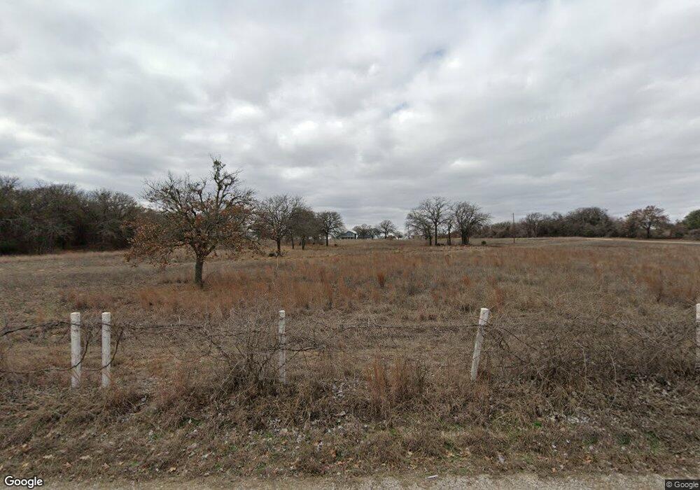
1200 Sanger Dr Springtown, TX 76082
Estimated Value: $515,000 - $552,620
4
Beds
2
Baths
2,410
Sq Ft
$221/Sq Ft
Est. Value
About This Home
This home is located at 1200 Sanger Dr, Springtown, TX 76082 and is currently estimated at $533,810, approximately $221 per square foot. 1200 Sanger Dr is a home located in Parker County with nearby schools including Seguin Elementary School, Tison Middle School, and Weatherford High School.
Ownership History
Date
Name
Owned For
Owner Type
Purchase Details
Closed on
Mar 1, 2018
Sold by
Jones Christopher M and Jones Brittney D
Bought by
Brownlee Norman E and Brownlee Nicole M
Current Estimated Value
Home Financials for this Owner
Home Financials are based on the most recent Mortgage that was taken out on this home.
Original Mortgage
$338,318
Outstanding Balance
$290,730
Interest Rate
4.5%
Mortgage Type
FHA
Estimated Equity
$243,080
Purchase Details
Closed on
Aug 21, 2015
Sold by
Denton Robert E and Denton Paula A
Bought by
Jones Christopher M and Jones Brittney D
Home Financials for this Owner
Home Financials are based on the most recent Mortgage that was taken out on this home.
Original Mortgage
$234,025
Interest Rate
4.12%
Mortgage Type
FHA
Purchase Details
Closed on
Mar 27, 1984
Bought by
Jones Christopher M and Jones Brittney D
Create a Home Valuation Report for This Property
The Home Valuation Report is an in-depth analysis detailing your home's value as well as a comparison with similar homes in the area
Home Values in the Area
Average Home Value in this Area
Purchase History
| Date | Buyer | Sale Price | Title Company |
|---|---|---|---|
| Brownlee Norman E | -- | Investors Title Insurance Co | |
| Jones Christopher M | -- | Rattikin Title Company | |
| Jones Christopher M | -- | -- |
Source: Public Records
Mortgage History
| Date | Status | Borrower | Loan Amount |
|---|---|---|---|
| Open | Brownlee Norman E | $338,318 | |
| Previous Owner | Jones Christopher M | $234,025 |
Source: Public Records
Tax History
| Year | Tax Paid | Tax Assessment Tax Assessment Total Assessment is a certain percentage of the fair market value that is determined by local assessors to be the total taxable value of land and additions on the property. | Land | Improvement |
|---|---|---|---|---|
| 2025 | $3,444 | $307,300 | -- | -- |
| 2024 | $3,444 | $275,000 | $24,250 | $250,750 |
| 2023 | $3,444 | $275,000 | $24,250 | $250,750 |
| 2022 | $4,672 | $250,940 | $18,950 | $231,990 |
| 2021 | $5,054 | $250,940 | $18,950 | $231,990 |
| 2020 | $4,830 | $238,120 | $11,000 | $227,120 |
| 2019 | $5,152 | $238,120 | $11,000 | $227,120 |
Source: Public Records
Map
Nearby Homes
- F1201 Sanger Dr
- Lot 32 Colt Rd
- Lot 20 Colt Rd
- Lot 46 Colt Rd
- Lot 44 Colt Rd
- Lot 47 Colt Rd
- Lot 45 Colt Rd
- Lot 33 Colt Rd
- Lot 30 Colt Rd
- Lot 35 Colt Rd
- Lot 16 Colt Rd
- Lot 42 Colt Rd
- Lot 31 Colt Rd
- Lot 25 Colt Rd
- Lot 29 Colt Rd
- 650 Sanger Dr
- The Jackson Plan at Taylor Ranch
- The Aylin Plan at Taylor Ranch
- The Harper II Plan at Taylor Ranch
- 1094 Colt Rd
- TBD 4 Sanger Dr
- TBD 3 Sanger Dr
- TBD 2 Sanger Dr
- 1350 Sanger Dr
- TBD 1 Sanger Dr
- TBD 6 Sanger Dr
- 1215 Sanger Dr
- 1201 Sanger Dr
- 1185 Sanger Dr
- 1173 Sanger Dr
- 1111 Sanger Dr
- 1351 Sanger Dr
- Lot 43 Colt Rd
- Lot 50 Colt Rd
- 00 Sanger Dr
- 4000 Roan Ct St Unit 36477612
- 4000 Roan Ct St Unit 36499479
- 4000 Roan Ct St Unit 36490272
- 4000 Roan Ct St Unit 36497157
- 4000 Roan Ct St Unit 36501652
Your Personal Tour Guide
Ask me questions while you tour the home.
