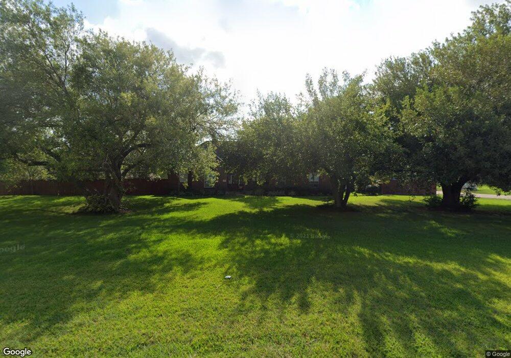
1200 Sunset Dr Friendswood, TX 77546
Estimated Value: $547,871 - $553,000
4
Beds
3
Baths
2,715
Sq Ft
$203/Sq Ft
Est. Value
About This Home
This home is located at 1200 Sunset Dr, Friendswood, TX 77546 and is currently estimated at $550,968, approximately $202 per square foot. 1200 Sunset Dr is a home located in Galveston County with nearby schools including C.W. Cline Elementary School, Windsong Elementary School, and Friendswood Junior High School.
Ownership History
Date
Name
Owned For
Owner Type
Purchase Details
Closed on
May 29, 2009
Sold by
Sandridge Cathy A Stapp and Sandridge Mark
Bought by
Vazquez Manuel
Current Estimated Value
Home Financials for this Owner
Home Financials are based on the most recent Mortgage that was taken out on this home.
Original Mortgage
$205,000
Outstanding Balance
$129,172
Interest Rate
4.72%
Mortgage Type
Purchase Money Mortgage
Estimated Equity
$421,796
Purchase Details
Closed on
Jun 10, 2004
Sold by
Sandridge Janet Pauline
Bought by
Sandridge Mark Edward
Create a Home Valuation Report for This Property
The Home Valuation Report is an in-depth analysis detailing your home's value as well as a comparison with similar homes in the area
Home Values in the Area
Average Home Value in this Area
Purchase History
| Date | Buyer | Sale Price | Title Company |
|---|---|---|---|
| Vazquez Manuel | -- | Stewart Title Company | |
| Sandridge Mark Edward | -- | -- |
Source: Public Records
Mortgage History
| Date | Status | Borrower | Loan Amount |
|---|---|---|---|
| Open | Vazquez Manuel | $205,000 |
Source: Public Records
Tax History Compared to Growth
Tax History
| Year | Tax Paid | Tax Assessment Tax Assessment Total Assessment is a certain percentage of the fair market value that is determined by local assessors to be the total taxable value of land and additions on the property. | Land | Improvement |
|---|---|---|---|---|
| 2025 | $3,061 | $543,640 | $63,640 | $480,000 |
| 2024 | $3,061 | $577,545 | -- | -- |
| 2023 | $3,061 | $525,041 | $0 | $0 |
| 2022 | $10,513 | $477,310 | $63,640 | $413,670 |
| 2021 | $10,160 | $444,430 | $63,640 | $380,790 |
| 2020 | $9,527 | $395,440 | $63,640 | $331,800 |
| 2019 | $9,819 | $386,690 | $63,640 | $323,050 |
| 2018 | $9,877 | $386,690 | $63,640 | $323,050 |
| 2017 | $10,042 | $386,690 | $63,640 | $323,050 |
| 2016 | $9,136 | $360,820 | $63,640 | $297,180 |
| 2015 | $1,940 | $322,050 | $63,640 | $258,410 |
| 2014 | $1,939 | $265,000 | $63,640 | $201,360 |
Source: Public Records
Map
Nearby Homes
- 801 Lancaster Dr
- 1402 Osborne Dr
- 812 Sandringham Dr
- 402 Windsor Dr
- 1207 Yorkshire Dr
- 702 Regency Ct
- 3 Wilderness Trail
- 1408 S Friendswood Dr Unit 101
- 904 W Castlewood Ave
- 607 Misty Ln
- 1012 Glenshannon Ave
- 807 Evergreen Dr
- 42 Hideaway Dr Unit D1
- 8 Hideaway Dr
- 52 Hideaway Dr
- 64 Hideaway Dr
- 1509 Windsor Dr
- 803 Greenbriar Ave
- 524 Fairdale St
- 1531 Briar Bend Dr
- 1202 Osborne Dr
- 812 Briarmeadow Ave
- .3801ac Briarmeadow Ave
- .4372ac Briarmeadow Ave
- 00 Briarmeadow Ave
- LOT 1 Briarmeadow Ave
- .8744ac Briarmeadow Ave
- 1206 Sunset Dr
- 1201 Sunset Dr
- 1207 Sunset Dr
- 705 Briarmeadow Ave
- 706 Essex Dr
- 1206 Osborne Dr
- 1208 Sunset Dr
- 611 Heather Ln
- 1110 Sunset Dr
- 613 Heather Ln
- 611 Briarmeadow Ave
- 1208 Osborne Dr
- 708 Essex Dr