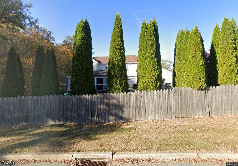
1200 Winthrop Cir West Chester, PA 19380
Estimated Value: $1,005,000 - $1,051,637
5
Beds
6
Baths
3,749
Sq Ft
$275/Sq Ft
Est. Value
About This Home
This home is located at 1200 Winthrop Cir, West Chester, PA 19380 and is currently estimated at $1,032,212, approximately $275 per square foot. 1200 Winthrop Cir is a home located in Chester County with nearby schools including Exton Elementary School, J.R. Fugett Middle School, and West Chester East High School.
Ownership History
Date
Name
Owned For
Owner Type
Purchase Details
Closed on
Jul 14, 2009
Sold by
Gilbert Stephen G and Gilbert Valerie Tracey
Bought by
Clark Andrew C and Clark Siubhan L
Current Estimated Value
Home Financials for this Owner
Home Financials are based on the most recent Mortgage that was taken out on this home.
Original Mortgage
$417,000
Outstanding Balance
$272,161
Interest Rate
5.31%
Mortgage Type
New Conventional
Estimated Equity
$760,051
Create a Home Valuation Report for This Property
The Home Valuation Report is an in-depth analysis detailing your home's value as well as a comparison with similar homes in the area
Home Values in the Area
Average Home Value in this Area
Purchase History
| Date | Buyer | Sale Price | Title Company |
|---|---|---|---|
| Clark Andrew C | $555,000 | None Available |
Source: Public Records
Mortgage History
| Date | Status | Borrower | Loan Amount |
|---|---|---|---|
| Open | Clark Andrew C | $417,000 |
Source: Public Records
Tax History Compared to Growth
Tax History
| Year | Tax Paid | Tax Assessment Tax Assessment Total Assessment is a certain percentage of the fair market value that is determined by local assessors to be the total taxable value of land and additions on the property. | Land | Improvement |
|---|---|---|---|---|
| 2025 | $9,023 | $311,270 | $77,390 | $233,880 |
| 2024 | $9,023 | $311,270 | $77,390 | $233,880 |
| 2023 | $9,023 | $311,270 | $77,390 | $233,880 |
| 2022 | $8,906 | $311,270 | $77,390 | $233,880 |
| 2021 | $8,782 | $311,270 | $77,390 | $233,880 |
| 2020 | $8,725 | $311,270 | $77,390 | $233,880 |
| 2019 | $8,604 | $311,270 | $77,390 | $233,880 |
| 2018 | $8,421 | $311,270 | $77,390 | $233,880 |
| 2017 | $8,238 | $311,270 | $77,390 | $233,880 |
| 2016 | $6,810 | $311,270 | $77,390 | $233,880 |
| 2015 | $6,810 | $311,270 | $77,390 | $233,880 |
| 2014 | $6,810 | $311,270 | $77,390 | $233,880 |
Source: Public Records
Map
Nearby Homes
- 1205 Killington Cir
- 1203 Karen Ln
- 1206 Longford Rd Unit 51
- 1203 Morstein Rd
- Kipling Plan at The Woodlands at Brandywine
- Nottingham Plan at The Woodlands at Brandywine
- Hawthorne Plan at The Woodlands at Brandywine
- Savannah Plan at The Woodlands at Brandywine
- Magnolia Plan at The Woodlands at Brandywine
- Woodford Plan at The Woodlands at Brandywine
- Augusta Plan at The Woodlands at Brandywine
- Devonshire Plan at The Woodlands at Brandywine
- Ethan Plan at The Woodlands at Brandywine
- Covington Plan at The Woodlands at Brandywine
- 1302 Ashbridge Rd
- 300 Kirkland Ave Unit DEVONSHIRE
- 300 Kirkland Ave Unit HAWTHORNE
- 300 Kirkland Ave Unit SAVANNAH
- 300 Kirkland Ave Unit AUGUSTA
- 1322 Ashbridge Rd
- 1202 Winthrop Cir
- 1218 Rockwood Dr
- 1201 Winthrop Cir
- 1214 Rockwood Dr
- 1206 Winthrop Cir
- 1247 Phoenixville Pike
- 1231 Phoenixville Pike
- 1234 Phoenixville Pike
- 1222 Rockwood Dr
- 1249 Phoenixville Pike
- 1205 Winthrop Cir
- 1210 Rockwood Dr
- 1210 Winthrop Cir
- 1229 Phoenixville Pike
- 1226 Rockwood Dr
- 1209 Winthrop Cir
- 1206 Rockwood Dr
- 1216 Gail Rd
- 1218 Gail Rd
- 1221 Clearbrook Rd