1200 Woodside Dr Ketchikan, AK 99901
--
Bed
56
Baths
4,000
Sq Ft
5.3
Acres
About This Home
This home is located at 1200 Woodside Dr, Ketchikan, AK 99901. 1200 Woodside Dr is a home with nearby schools including Ketchikan High School, Tongass School of Arts & Sciences Charter School, and Ketchikan Charter School.
Ownership History
Date
Name
Owned For
Owner Type
Purchase Details
Closed on
Aug 17, 2006
Sold by
Harris Tracy
Bought by
Taylor Marilyn T
Home Financials for this Owner
Home Financials are based on the most recent Mortgage that was taken out on this home.
Original Mortgage
$76,378
Outstanding Balance
$45,856
Interest Rate
6.76%
Mortgage Type
FHA
Purchase Details
Closed on
Mar 8, 2005
Sold by
Wick Construction Co
Bought by
Boshowski Properties Llc
Home Financials for this Owner
Home Financials are based on the most recent Mortgage that was taken out on this home.
Original Mortgage
$1,500,000
Interest Rate
5.61%
Mortgage Type
Commercial
Create a Home Valuation Report for This Property
The Home Valuation Report is an in-depth analysis detailing your home's value as well as a comparison with similar homes in the area
Home Values in the Area
Average Home Value in this Area
Purchase History
| Date | Buyer | Sale Price | Title Company |
|---|---|---|---|
| Taylor Marilyn T | -- | Title Insurance Agency | |
| Boshowski Properties Llc | -- | -- |
Source: Public Records
Mortgage History
| Date | Status | Borrower | Loan Amount |
|---|---|---|---|
| Open | Taylor Marilyn T | $76,378 | |
| Previous Owner | Boshowski Properties Llc | $1,500,000 |
Source: Public Records
Tax History Compared to Growth
Tax History
| Year | Tax Paid | Tax Assessment Tax Assessment Total Assessment is a certain percentage of the fair market value that is determined by local assessors to be the total taxable value of land and additions on the property. | Land | Improvement |
|---|---|---|---|---|
| 2025 | $39,776 | $3,473,900 | $694,200 | $2,779,700 |
| 2024 | $37,882 | $3,337,600 | $677,200 | $2,660,400 |
| 2023 | $36,535 | $3,096,200 | $641,900 | $2,454,300 |
| 2022 | $36,535 | $3,096,200 | $641,900 | $2,454,300 |
| 2021 | $36,535 | $3,096,200 | $641,900 | $2,454,300 |
| 2020 | $35,916 | $3,096,200 | $641,900 | $2,454,300 |
| 2019 | $35,948 | $3,099,000 | $641,900 | $2,457,100 |
| 2018 | $35,248 | $3,038,600 | $641,900 | $2,396,700 |
| 2017 | $35,994 | $3,076,400 | $0 | $0 |
| 2016 | $34,254 | $2,927,700 | $0 | $0 |
| 2015 | -- | $2,850,000 | $0 | $0 |
| 2014 | -- | $2,963,800 | $0 | $0 |
Source: Public Records
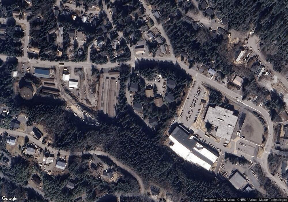
Map
Nearby Homes
- 800 BLK Miller Ridge Rd
- 1350 Woodside Dr
- 464 Schoenbar Rd
- 764-766 Forest Ave
- 0 N Legal Address Only Unit Long Arm - Moser Bay
- 0 N Legal Address Only Unit Lot 13, Stedman Stre
- 0 N Legal Address Only Unit 5100 Block of North
- 0 N Legal Address Only Unit L7-11B N Yorktown Dr
- Lots 7-11B N Yorktown Dr
- 772 Amundsen Way
- 835 Harris St
- 1227 Black Bear Rd Unit 1229
- 930 Freeman St
- 930 & 936 Freeman St
- 647 Park Ave
- 1 Creek St
- 320 Bawden St Unit 613-614
- 320 Bawden St
- 320 Bawden St Unit 718
- 320 Bawden St Unit 509
- 726/728 Summit Terrace
- 55 Schoenbar Ct
- 717 Summit Terrace
- 805 Miller Ridge Rd Unit 807
- 1312 Woodside Dr
- 725 Summit Terrace
- 646 Schoenbar Rd
- 808 Schoenbar Rd
- 636 Schoenbar Rd
- 815 Miller Ridge Rd Unit 817
- 1321 Fairy Chasm Rd
- 626 Schoenbar Rd
- 616 Schoenbar Rd
- 1325 Woodside Dr
- 1324 Woodside Dr
- 733 Miller Ridge Rd Unit 735
- 606 Schoenbar Rd
- 1335 Fairy Chasm Rd
- 826/830 Schoenbar Rd
- 596 Schoenbar Rd