1200 Zion Dr Unit B10 Myrtle Beach, SC 29588
Estimated Value: $137,000 - $149,721
2
Beds
2
Baths
968
Sq Ft
$146/Sq Ft
Est. Value
About This Home
This home is located at 1200 Zion Dr Unit B10, Myrtle Beach, SC 29588 and is currently estimated at $141,430, approximately $146 per square foot. 1200 Zion Dr Unit B10 is a home located in Horry County with nearby schools including Socastee Elementary School, Forestbrook Middle School, and Socastee High School.
Ownership History
Date
Name
Owned For
Owner Type
Purchase Details
Closed on
Apr 30, 2015
Sold by
Trably Paulette A
Bought by
Evans Hellene and Evans Keith P
Current Estimated Value
Home Financials for this Owner
Home Financials are based on the most recent Mortgage that was taken out on this home.
Original Mortgage
$59,400
Outstanding Balance
$45,958
Interest Rate
3.8%
Mortgage Type
Future Advance Clause Open End Mortgage
Estimated Equity
$95,472
Purchase Details
Closed on
Feb 10, 2006
Sold by
Bouranis Barbara C
Bought by
Trably Paulette A
Home Financials for this Owner
Home Financials are based on the most recent Mortgage that was taken out on this home.
Original Mortgage
$72,900
Interest Rate
6.08%
Mortgage Type
Fannie Mae Freddie Mac
Purchase Details
Closed on
May 24, 2004
Sold by
Aylward Jess W
Bought by
Furr Russell Wayne
Purchase Details
Closed on
Aug 7, 2000
Sold by
Aylward Jess W
Bought by
Furr Russell W
Create a Home Valuation Report for This Property
The Home Valuation Report is an in-depth analysis detailing your home's value as well as a comparison with similar homes in the area
Home Values in the Area
Average Home Value in this Area
Purchase History
| Date | Buyer | Sale Price | Title Company |
|---|---|---|---|
| Evans Hellene | $66,000 | -- | |
| Trably Paulette A | $81,000 | None Available | |
| Furr Russell Wayne | -- | -- | |
| Furr Russell W | $17,881 | -- |
Source: Public Records
Mortgage History
| Date | Status | Borrower | Loan Amount |
|---|---|---|---|
| Open | Evans Hellene | $59,400 | |
| Previous Owner | Trably Paulette A | $72,900 |
Source: Public Records
Tax History Compared to Growth
Tax History
| Year | Tax Paid | Tax Assessment Tax Assessment Total Assessment is a certain percentage of the fair market value that is determined by local assessors to be the total taxable value of land and additions on the property. | Land | Improvement |
|---|---|---|---|---|
| 2024 | $1,112 | $5,709 | $1,600 | $4,109 |
| 2023 | $1,112 | $4,422 | $720 | $3,702 |
| 2021 | $1,030 | $2,948 | $480 | $2,468 |
| 2020 | $951 | $2,948 | $480 | $2,468 |
| 2019 | $951 | $2,948 | $480 | $2,468 |
| 2018 | $0 | $2,600 | $400 | $2,200 |
| 2017 | $859 | $2,600 | $400 | $2,200 |
| 2016 | -- | $2,600 | $400 | $2,200 |
| 2015 | $671 | $1,992 | $400 | $1,592 |
| 2014 | $649 | $2,988 | $600 | $2,388 |
Source: Public Records
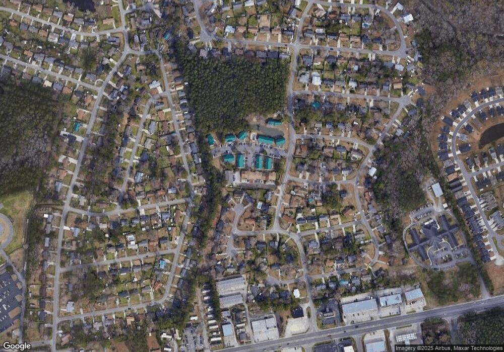
Map
Nearby Homes
- TBD Bridge Creek Dr
- 509 Creekwood Cir Unit MB
- 303 Clear Creek Cir
- 173 Foxpath Loop
- 209 Foxpath Loop Unit Silver Creek Lot 322
- 5729 Rosewood Dr
- 5544 Rosewood Dr
- 4 Plantation Rd
- 4641 Socastee Blvd Unit D1
- 282 Foxpath Loop
- 305 Foxpath Loop
- 309 Foxpath Loop
- 313 Foxpath Loop
- 244 Colby Ct
- 613 Old Fox Ct
- 5867 Rosewood Dr
- 4819 Cottonwood Dr
- 104 Meredith Ct Unit Lot 104
- 2 Sioux Trail
- 500 Oak Circle Dr Unit B-5
- 1200 Zion Dr Unit Bridge Creek
- 1200 Zion Dr
- 1200 Zion Dr
- 1200 Zion Dr Unit B8
- 1200 Zion Dr Unit B7
- 1200 Zion Dr Unit B2
- 1200 Zion Dr Unit B6
- 1200 Zion Dr Unit B5
- 1200 Zion Dr Unit B-5
- 115 Bridgecreek Dr
- 115 Bridgecreek Dr
- 1223 Shalom Dr
- 1211 Shalom Dr Unit A
- 514 Creekwood Cir
- 113 Bridgecreek Dr
- 600 Goosecreek Dr
- 601 Goosecreek Dr
- 110 Bridgecreek Dr
- 513 Creekwood Cir
- 516 Creekwood Cir