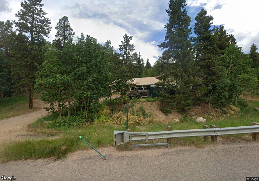
12001 Highway 119 Black Hawk, CO 80422
Estimated Value: $430,000 - $679,000
1
Bed
2
Baths
1,078
Sq Ft
$476/Sq Ft
Est. Value
About This Home
This home is located at 12001 Highway 119, Black Hawk, CO 80422 and is currently estimated at $512,839, approximately $475 per square foot. 12001 Highway 119 is a home with nearby schools including Gilpin County Elementary School and Gilpin County Undivided High School.
Ownership History
Date
Name
Owned For
Owner Type
Purchase Details
Closed on
May 23, 2012
Sold by
Pearce Perry and Pearce Perry K
Bought by
Pearce Perry
Current Estimated Value
Home Financials for this Owner
Home Financials are based on the most recent Mortgage that was taken out on this home.
Original Mortgage
$155,238
Outstanding Balance
$107,708
Interest Rate
3.93%
Mortgage Type
VA
Estimated Equity
$405,131
Purchase Details
Closed on
Apr 11, 2011
Sold by
Kidd Gregory J
Bought by
Pearce Perry K
Home Financials for this Owner
Home Financials are based on the most recent Mortgage that was taken out on this home.
Original Mortgage
$154,950
Interest Rate
4.92%
Mortgage Type
VA
Create a Home Valuation Report for This Property
The Home Valuation Report is an in-depth analysis detailing your home's value as well as a comparison with similar homes in the area
Home Values in the Area
Average Home Value in this Area
Purchase History
| Date | Buyer | Sale Price | Title Company |
|---|---|---|---|
| Pearce Perry | -- | None Available | |
| Pearce Perry K | $150,000 | None Available |
Source: Public Records
Mortgage History
| Date | Status | Borrower | Loan Amount |
|---|---|---|---|
| Open | Pearce Perry | $155,238 | |
| Closed | Pearce Perry K | $154,950 |
Source: Public Records
Tax History Compared to Growth
Tax History
| Year | Tax Paid | Tax Assessment Tax Assessment Total Assessment is a certain percentage of the fair market value that is determined by local assessors to be the total taxable value of land and additions on the property. | Land | Improvement |
|---|---|---|---|---|
| 2024 | $482 | $23,880 | $3,130 | $20,750 |
| 2023 | $482 | $23,880 | $3,130 | $20,750 |
| 2022 | $352 | $18,340 | $1,540 | $16,800 |
| 2021 | $565 | $18,880 | $1,590 | $17,290 |
| 2020 | $516 | $18,050 | $1,420 | $16,630 |
| 2019 | $441 | $18,050 | $1,420 | $16,630 |
| 2018 | $404 | $15,640 | $1,120 | $14,520 |
| 2017 | $404 | $15,640 | $1,120 | $14,520 |
| 2016 | $371 | $14,330 | $1,150 | $13,180 |
| 2015 | -- | $14,330 | $1,150 | $13,180 |
| 2014 | -- | $12,670 | $960 | $11,710 |
Source: Public Records
Map
Nearby Homes
- 0 Juniper Rd
- 143 Juniper Rd
- 103 Juniper Rd
- 300 Badger Rd
- 1201 Hughesville Rd
- 760 Coyote Cir
- Block 2, Lot 24 Hughesville Rd
- Block 9 Lot 5 Hughesville Rd
- Block 9 Lot 4 Hughesville Rd
- 84 Crest View Dr
- 233 Deer Cir
- 60 Lake Front Dr
- 2003 Coyote Cir
- 2169 Dory Hill Rd
- 22 Spruce Way
- Lot 10 Pinon Cir Unit 10
- 263 Dory Lakes Dr
- 1280 Highpoint Cir
- 179 Spruce Way
- 0 Golden Gate Canyon Rd
- 11936 Highway 119
- 26 Howe Ct
- 11930 Highway 119
- 11930 Highway 119
- 200 Juniper Rd
- 279 Juniper Rd
- 315 Juniper Rd
- 11932 Highway 119
- 96 Howe Ct
- 181 Juniper Rd
- 208 Howe Ct
- 206 Howe Ct
- 399 Juniper Rd
- 5 Juniper Rd
- 279 Juniper
- 001 Hughesville Rd
- 117 Howe Ct
- 0 Hughesville Rd Unit 3213149
- 341 Foxtail Dr
- 207 Howe Ct