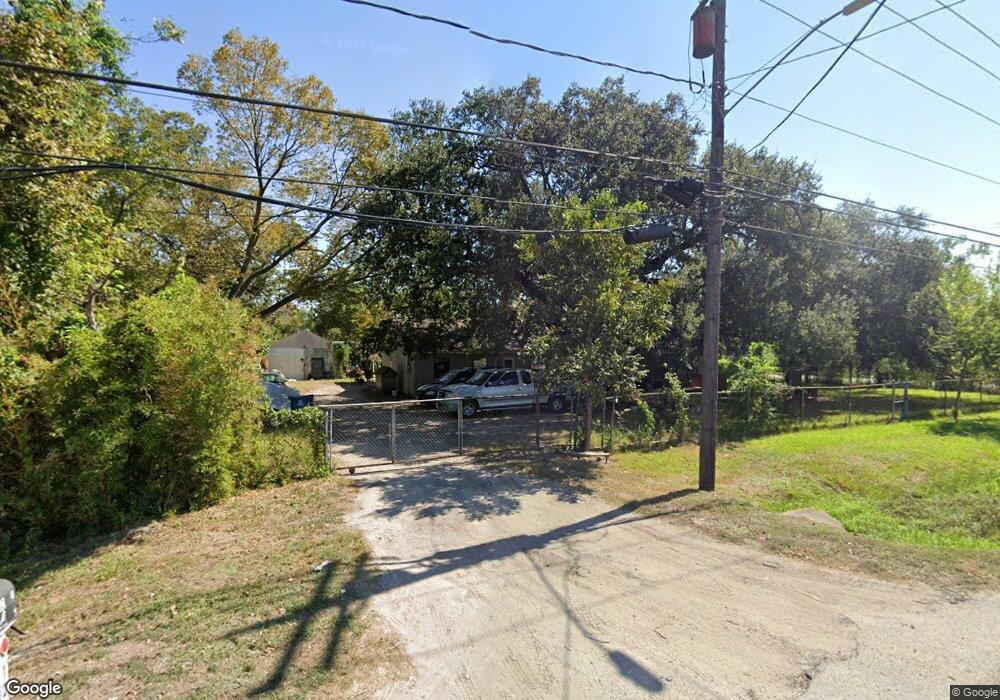
12002 Aldine Westfield Rd Houston, TX 77093
East Aldine NeighborhoodEstimated Value: $231,810 - $430,000
4
Beds
1
Bath
2,820
Sq Ft
$112/Sq Ft
Est. Value
About This Home
This home is located at 12002 Aldine Westfield Rd, Houston, TX 77093 and is currently estimated at $316,453, approximately $112 per square foot. 12002 Aldine Westfield Rd is a home located in Harris County with nearby schools including Vardeman EC/PK/K, Worsham Elementary School, and Macarthur Ninth Grade School.
Ownership History
Date
Name
Owned For
Owner Type
Purchase Details
Closed on
Oct 26, 2006
Sold by
Nguyen Xuyen Binh and Nguyen Thi Nhai
Bought by
Ramos Hugo R
Current Estimated Value
Home Financials for this Owner
Home Financials are based on the most recent Mortgage that was taken out on this home.
Original Mortgage
$110,000
Outstanding Balance
$65,795
Interest Rate
6.41%
Mortgage Type
Purchase Money Mortgage
Estimated Equity
$250,658
Create a Home Valuation Report for This Property
The Home Valuation Report is an in-depth analysis detailing your home's value as well as a comparison with similar homes in the area
Home Values in the Area
Average Home Value in this Area
Purchase History
| Date | Buyer | Sale Price | Title Company |
|---|---|---|---|
| Ramos Hugo R | -- | First American Title |
Source: Public Records
Mortgage History
| Date | Status | Borrower | Loan Amount |
|---|---|---|---|
| Open | Ramos Hugo R | $110,000 |
Source: Public Records
Tax History Compared to Growth
Tax History
| Year | Tax Paid | Tax Assessment Tax Assessment Total Assessment is a certain percentage of the fair market value that is determined by local assessors to be the total taxable value of land and additions on the property. | Land | Improvement |
|---|---|---|---|---|
| 2025 | $4,163 | $268,081 | $76,365 | $191,716 |
| 2024 | $4,163 | $215,144 | $76,365 | $138,779 |
| 2023 | $4,163 | $214,997 | $76,365 | $138,632 |
| 2022 | $3,842 | $186,860 | $76,365 | $110,495 |
| 2021 | $3,181 | $147,603 | $76,365 | $71,238 |
| 2020 | $3,252 | $143,142 | $76,365 | $66,777 |
| 2019 | $3,405 | $143,142 | $76,365 | $66,777 |
| 2018 | $1,430 | $99,621 | $35,637 | $63,984 |
| 2017 | $1,360 | $60,028 | $35,637 | $24,391 |
| 2016 | $1,360 | $60,028 | $35,637 | $24,391 |
| 2015 | $1,339 | $60,028 | $35,637 | $24,391 |
| 2014 | $1,339 | $60,028 | $35,637 | $24,391 |
Source: Public Records
Map
Nearby Homes
- 2410 Mierianne St
- 11746 Somerset Ln
- 1925 Sunny Dr
- 2326 Sunny Dr
- 11716 Innsbury Dr
- 2306 Wardmont St
- 1703 & 0 Sunny Dr
- 2131 Warwick Rd
- 2123 Warwick Rd
- 2723 Castledale Dr
- 2311 Warwick Rd
- 1449 Mesquite St
- 1450 Mesquite St
- 2237 Cromwell St
- 1930 Cromwell St
- 1508 Hopper Rd Unit 1
- 2152 William Tell St
- 2915 Brea Crest St
- 2122 Kowis St
- 2922 Bertrand St
- 2013 Mierianne St
- 2022 Mierianne St
- 2029 Mierianne St
- 2028 Mierianne St
- 2009 Bertrand St
- 2017 Bertrand St Unit 1
- 12029 Aldine Westfield Rd Unit 130
- 2034 Mierianne St
- 2034 Mierianne St
- 2101 Mierianne St
- 2021 Bertrand St
- 2102 Mierianne St
- 2025 Bertrand St
- 2106 Mierianne St
- 2033 Bertrand St
- 2109 Mierianne St Unit 1
- 2101 Bertrand St
- 2110 Mierianne St
- 2105 Bertrand St
- 2114 Mierianne St