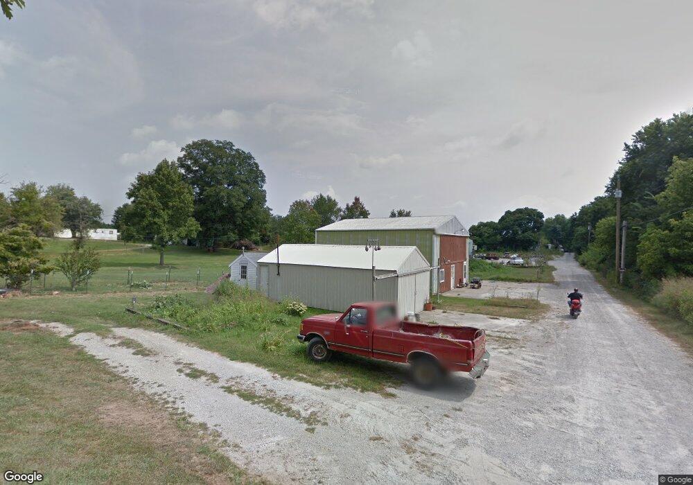
12002 Highway 62 Charlestown, IN 47111
Estimated Value: $181,205 - $318,000
2
Beds
1
Bath
840
Sq Ft
$281/Sq Ft
Est. Value
About This Home
This home is located at 12002 Highway 62, Charlestown, IN 47111 and is currently estimated at $236,301, approximately $281 per square foot. 12002 Highway 62 is a home located in Clark County with nearby schools including Pleasant Ridge Elementary School, Charlestown Middle School, and Charlestown Senior High School.
Ownership History
Date
Name
Owned For
Owner Type
Purchase Details
Closed on
Apr 15, 2019
Sold by
Latuch Barbara
Bought by
Latuch Alexander and Latuch Barbarra
Current Estimated Value
Purchase Details
Closed on
Jan 5, 2016
Sold by
Devary Jerry L
Bought by
Latuch Barbara and Stoner Elizabeth
Purchase Details
Closed on
Jul 29, 2011
Sold by
Latuch Florence M Devary Bu Barbara and Stoner Elizabeth
Bought by
Latuch Barbara and Stoner Elizabeth
Create a Home Valuation Report for This Property
The Home Valuation Report is an in-depth analysis detailing your home's value as well as a comparison with similar homes in the area
Home Values in the Area
Average Home Value in this Area
Purchase History
| Date | Buyer | Sale Price | Title Company |
|---|---|---|---|
| Latuch Alexander | -- | -- | |
| Latuch Barbara | -- | None Available | |
| Latuch Barbara | $66,750 | -- |
Source: Public Records
Tax History Compared to Growth
Tax History
| Year | Tax Paid | Tax Assessment Tax Assessment Total Assessment is a certain percentage of the fair market value that is determined by local assessors to be the total taxable value of land and additions on the property. | Land | Improvement |
|---|---|---|---|---|
| 2024 | $775 | $152,400 | $54,600 | $97,800 |
| 2023 | $270 | $132,400 | $45,500 | $86,900 |
| 2022 | $1,075 | $123,900 | $36,400 | $87,500 |
| 2021 | $888 | $102,400 | $27,300 | $75,100 |
| 2020 | $863 | $98,000 | $22,700 | $75,300 |
| 2019 | $838 | $93,300 | $22,700 | $70,600 |
| 2018 | $926 | $94,300 | $22,700 | $71,600 |
| 2017 | $759 | $90,000 | $22,700 | $67,300 |
| 2016 | $725 | $91,600 | $22,700 | $68,900 |
| 2014 | $720 | $90,000 | $22,700 | $67,300 |
| 2013 | -- | $92,900 | $22,700 | $70,200 |
Source: Public Records
Map
Nearby Homes
- 123 Level St
- 131 Level St
- 125 Level St
- 121 Level St
- 129 Level St
- 127 Level St
- 5577 Limestone Creek Dr
- 5544 Limestone Creek Dr
- 5501 Limestone Creek Dr
- 8102 Farming Way
- 2036 Harmony Ln
- 2038 Harmony Ln
- 532 Beechwood Dr
- 1440 Lindsey St
- 1511 Tunnel Mill Rd
- 1515 Tunnel Mill Rd
- 3101 Atocha Cir
- 3105 Atocha Cir
- 3103 Atocha Cir
- 135 Spring St
- 12004 Highway 62
- 12006 Highway 62
- 1362 High St
- 155 Jefferson St
- 1360 High St
- 220 Monroe St
- 1348 High St
- 223 Jefferson St
- 1280 High St
- 225 Jefferson St
- 1270 High St
- 230 Monroe St
- 218 Jefferson St
- 11106 Highway 62
- 1389 High St
- 11106 Dean St
- 12099 Highway 62
- 233 Jefferson St
- 1262 High St
- 220 Jefferson St