12006 Agnew Ridge San Antonio, TX 78254
Estimated Value: $246,753 - $274,000
3
Beds
3
Baths
1,418
Sq Ft
$182/Sq Ft
Est. Value
About This Home
This home is located at 12006 Agnew Ridge, San Antonio, TX 78254 and is currently estimated at $258,188, approximately $182 per square foot. 12006 Agnew Ridge is a home located in Bexar County with nearby schools including Fields Elementary, John M. Folks Middle, and School of Science and Technology Northwest.
Ownership History
Date
Name
Owned For
Owner Type
Purchase Details
Closed on
Jun 19, 2015
Sold by
Castellanos Jorge and Castellanos Gilma R
Bought by
Delarosa Angelo M and Delarosa Joanne C
Current Estimated Value
Home Financials for this Owner
Home Financials are based on the most recent Mortgage that was taken out on this home.
Original Mortgage
$165,840
Outstanding Balance
$135,939
Interest Rate
5.5%
Mortgage Type
FHA
Estimated Equity
$122,249
Purchase Details
Closed on
Mar 11, 2011
Sold by
Continental Homes Of Texas Lp
Bought by
Castellanos Gilma R and Castellanos Jorge
Home Financials for this Owner
Home Financials are based on the most recent Mortgage that was taken out on this home.
Original Mortgage
$114,432
Interest Rate
5.06%
Mortgage Type
New Conventional
Create a Home Valuation Report for This Property
The Home Valuation Report is an in-depth analysis detailing your home's value as well as a comparison with similar homes in the area
Home Values in the Area
Average Home Value in this Area
Purchase History
| Date | Buyer | Sale Price | Title Company |
|---|---|---|---|
| Delarosa Angelo M | -- | Itc Stone Oak | |
| Castellanos Gilma R | -- | Dhi Title |
Source: Public Records
Mortgage History
| Date | Status | Borrower | Loan Amount |
|---|---|---|---|
| Open | Delarosa Angelo M | $165,840 | |
| Previous Owner | Castellanos Gilma R | $114,432 |
Source: Public Records
Tax History Compared to Growth
Tax History
| Year | Tax Paid | Tax Assessment Tax Assessment Total Assessment is a certain percentage of the fair market value that is determined by local assessors to be the total taxable value of land and additions on the property. | Land | Improvement |
|---|---|---|---|---|
| 2025 | $3,316 | $244,810 | $47,220 | $197,590 |
| 2024 | $3,316 | $249,320 | $46,770 | $202,550 |
| 2023 | $3,316 | $233,857 | $46,770 | $217,040 |
| 2022 | $4,318 | $212,597 | $39,020 | $207,110 |
| 2021 | $4,069 | $193,270 | $37,640 | $155,630 |
| 2020 | $3,969 | $184,570 | $37,640 | $146,930 |
| 2019 | $3,962 | $178,440 | $37,640 | $140,800 |
| 2018 | $3,753 | $168,870 | $37,640 | $131,230 |
| 2017 | $3,665 | $164,560 | $35,170 | $129,390 |
| 2016 | $3,583 | $160,900 | $35,170 | $125,730 |
| 2015 | $3,263 | $152,160 | $35,170 | $116,990 |
| 2014 | $3,263 | $145,700 | $0 | $0 |
Source: Public Records
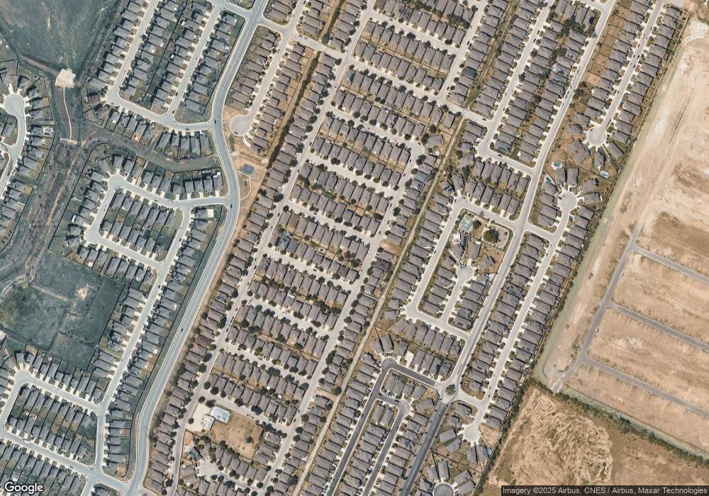
Map
Nearby Homes
- 12372 Goulding
- 12015 Agnew Ridge
- 9923 Bricewood Hill
- 12122 Dawes Point
- 11911 Cheney Glen
- 11723 Bricewood Tip
- 9839 Mill Path
- 11935 Curtis Hill
- 12234 Hamlin Creek
- 12207 Hamlin Creek
- 11918 Silent Canyon
- 10158 Castello Canyon
- 10310 Quayle Mist
- 12031 Silver Valley
- 9723 Mill Path
- 11566 Cottage Point
- 11586 Cottage Point
- 11582 Cottage Point
- 11574 Cottage Point
- 11554 Cottage Point
- 12010 Agnew Ridge
- 12014 Agnew Ridge
- 12007 Allard Bluff
- 12003 Allard Bluff
- 12018 Agnew Ridge
- 12007 Agnew Ridge
- 12007 Agnew Ridge Unit 6-PUD
- 12015 Allard Bluff
- 12011 Agnew Ridge
- 12003 Agnew Ridge
- 10314 Sun Mill
- 10318 Sun Mill
- 10310 Sun Mill
- 12019 Allard Bluff
- 12022 Agnew Ridge
- 12019 Agnew Ridge
- 10402 Sun Mill
- 12023 Allard Bluff
- 10302 Sun Mill
- 12026 Agnew Ridge