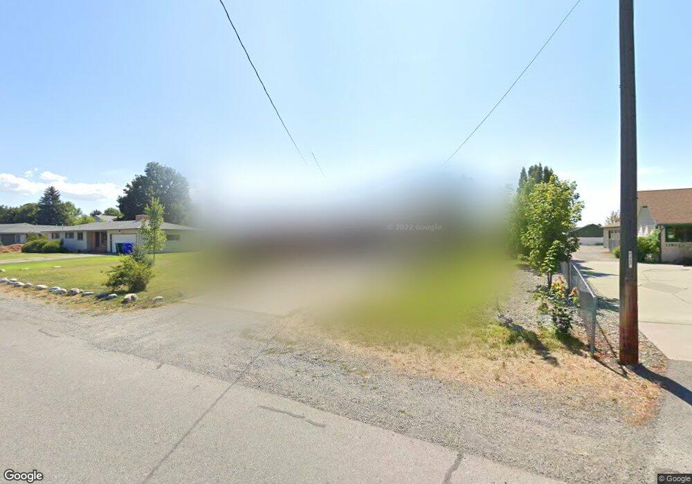
12006 E Maxwell Ave Spokane Valley, WA 99206
Opportunity NeighborhoodEstimated Value: $440,816 - $510,000
3
Beds
2
Baths
1,215
Sq Ft
$382/Sq Ft
Est. Value
About This Home
This home is located at 12006 E Maxwell Ave, Spokane Valley, WA 99206 and is currently estimated at $464,204, approximately $382 per square foot. 12006 E Maxwell Ave is a home located in Spokane County with nearby schools including Broadway Elementary School, North Pines Middle School, and University High School.
Ownership History
Date
Name
Owned For
Owner Type
Purchase Details
Closed on
Jun 17, 2002
Sold by
Morrison Paul and Morrison Vicki J
Bought by
Morrison Vicki J
Current Estimated Value
Purchase Details
Closed on
Jan 25, 1995
Sold by
Downing Jerry D
Bought by
Brambrink Thomas M
Home Financials for this Owner
Home Financials are based on the most recent Mortgage that was taken out on this home.
Original Mortgage
$92,025
Interest Rate
9.28%
Mortgage Type
FHA
Create a Home Valuation Report for This Property
The Home Valuation Report is an in-depth analysis detailing your home's value as well as a comparison with similar homes in the area
Home Values in the Area
Average Home Value in this Area
Purchase History
| Date | Buyer | Sale Price | Title Company |
|---|---|---|---|
| Morrison Vicki J | -- | Pacific Nw Title | |
| Morrison Vicki J | $103,000 | Pacific Nw Title | |
| Brambrink Thomas M | -- | Spokane County Title Company |
Source: Public Records
Mortgage History
| Date | Status | Borrower | Loan Amount |
|---|---|---|---|
| Previous Owner | Brambrink Thomas M | $92,025 |
Source: Public Records
Tax History Compared to Growth
Tax History
| Year | Tax Paid | Tax Assessment Tax Assessment Total Assessment is a certain percentage of the fair market value that is determined by local assessors to be the total taxable value of land and additions on the property. | Land | Improvement |
|---|---|---|---|---|
| 2025 | $4,313 | $392,900 | $95,000 | $297,900 |
| 2024 | $4,313 | $404,900 | $80,000 | $324,900 |
| 2023 | $3,890 | $404,300 | $75,000 | $329,300 |
| 2022 | $3,537 | $407,200 | $73,500 | $333,700 |
| 2021 | $3,325 | $266,550 | $47,250 | $219,300 |
| 2020 | $2,964 | $241,150 | $47,250 | $193,900 |
| 2019 | $2,512 | $213,200 | $37,800 | $175,400 |
| 2018 | $2,786 | $196,600 | $37,800 | $158,800 |
| 2017 | $2,350 | $168,500 | $37,800 | $130,700 |
| 2016 | $2,285 | $158,750 | $36,750 | $122,000 |
| 2015 | $2,364 | $161,550 | $36,750 | $124,800 |
| 2014 | -- | $153,850 | $38,850 | $115,000 |
| 2013 | -- | $0 | $0 | $0 |
Source: Public Records
Map
Nearby Homes
- 12117 E Sharp Ln
- 12211 E Boone Ave
- 11920 E Mansfield Ave Unit 35
- 11920 E Mansfield Ave Unit 93
- 11920 E Mansfield Ave Unit 94
- 11920 E Mansfield Ave Unit 47
- 11920 E Mansfield Ave Unit 74
- 11920 E Mansfield Ave Unit 90
- 11920 E Mansfield Ave Unit 116
- 11920 E Mansfield Ave Unit 75
- 11704 E Alki Ave
- 11302 E Broadway Ave
- 12447 E Olive Ave Unit 47
- 12411 E Olive Ave
- 12465 E Olive Ave Unit 65
- 6XX S Robie St
- 2111 N Houk Rd Unit 5
- 12017 E Mansfield Ave
- 11902 E Valleyway Ave
- 2211 N Houk Rd
- 12014 E Maxwell Ave
- 11922 E Maxwell Ave
- 11916 E Maxwell Ave
- 12007 E Maxwell Ave
- 11919 E Maxwell Ave Unit 2
- 11919 E Maxwell Ave
- 12022 E Maxwell Ave
- 12017 E Maxwell Ave
- 11910 E Maxwell Ave
- 11913 E Maxwell Ave
- 12019 E Maxwell Ave
- 1328 N Robie Ln
- 11909 E Maxwell Ave
- 12104 E Maxwell Ave
- 11915 E Sinto Ln
- 12006 E Mission Ave
- 11902 E Maxwell Ave
- 11920 E Mission Ave
- 12012 E Mission Ave
- 11903 E Maxwell Ave