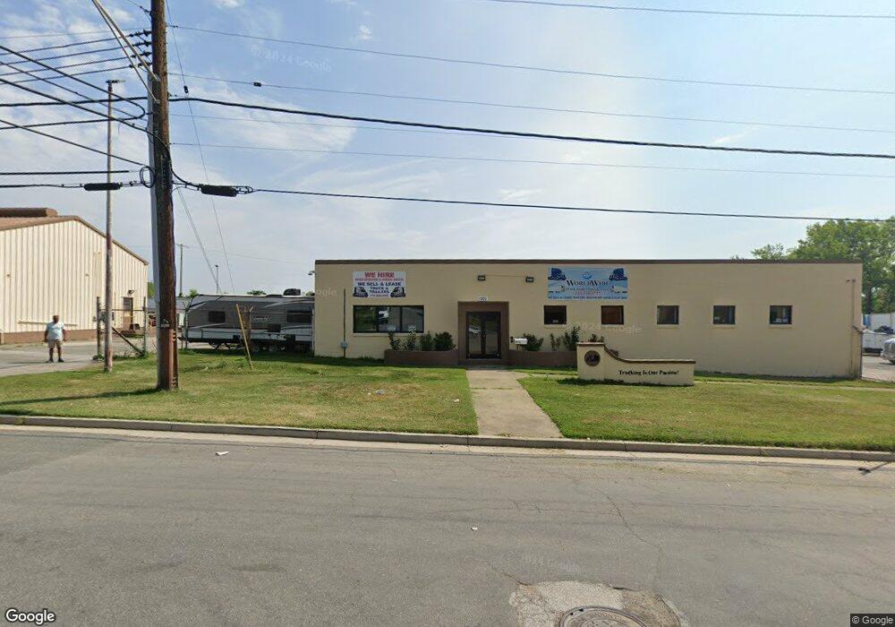
1201 68th St Baltimore, MD 21237
Estimated Value: $2,509,833
Studio
--
Bath
4,428
Sq Ft
$567/Sq Ft
Est. Value
About This Home
This home is located at 1201 68th St, Baltimore, MD 21237 and is currently estimated at $2,509,833, approximately $566 per square foot. 1201 68th St is a home located in Baltimore County with nearby schools including Elmwood Elementary School, Golden Ring Middle School, and Overlea High School.
Ownership History
Date
Name
Owned For
Owner Type
Purchase Details
Closed on
Feb 13, 2020
Sold by
Barring Family Llc
Bought by
Barring & Co Inc
Current Estimated Value
Purchase Details
Closed on
Dec 4, 2019
Sold by
Barring Family Llc
Bought by
Barring & Co Inc
Home Financials for this Owner
Home Financials are based on the most recent Mortgage that was taken out on this home.
Original Mortgage
$166,950
Interest Rate
3.6%
Mortgage Type
Construction
Purchase Details
Closed on
Aug 8, 2014
Sold by
Regional Nvestors Llc
Bought by
Barring Family Llc
Purchase Details
Closed on
Aug 20, 2002
Sold by
Baltimore Gas & Electric Co
Bought by
Regional Investors Llc
Purchase Details
Closed on
Sep 13, 1966
Sold by
Champion Brick C Ompany
Bought by
Baltimore Gas & Electric Co
Create a Home Valuation Report for This Property
The Home Valuation Report is an in-depth analysis detailing your home's value as well as a comparison with similar homes in the area
Home Values in the Area
Average Home Value in this Area
Purchase History
| Date | Buyer | Sale Price | Title Company |
|---|---|---|---|
| Barring & Co Inc | -- | None Available | |
| Barring & Co Inc | $1,700,000 | None Available | |
| Barring Family Llc | $1,400,000 | Supreme Title Company | |
| Regional Investors Llc | $560,000 | -- | |
| Baltimore Gas & Electric Co | $56,100 | -- |
Source: Public Records
Mortgage History
| Date | Status | Borrower | Loan Amount |
|---|---|---|---|
| Previous Owner | Barring & Co Inc | $166,950 |
Source: Public Records
Tax History
| Year | Tax Paid | Tax Assessment Tax Assessment Total Assessment is a certain percentage of the fair market value that is determined by local assessors to be the total taxable value of land and additions on the property. | Land | Improvement |
|---|---|---|---|---|
| 2025 | $24,106 | $1,747,400 | -- | -- |
| 2024 | $24,106 | $1,712,200 | $0 | $0 |
| 2023 | $11,249 | $1,677,000 | $734,500 | $942,500 |
| 2022 | $31,765 | $1,547,200 | $0 | $0 |
| 2021 | $12,980 | $1,417,400 | $0 | $0 |
| 2020 | $17,495 | $1,287,600 | $734,500 | $553,100 |
| 2019 | $15,502 | $1,279,067 | $0 | $0 |
| 2018 | $17,180 | $1,270,533 | $0 | $0 |
| 2017 | $16,435 | $1,262,000 | $0 | $0 |
| 2016 | $12,702 | $1,178,433 | $0 | $0 |
| 2015 | $12,702 | $1,094,867 | $0 | $0 |
| 2014 | $12,702 | $1,011,300 | $0 | $0 |
Source: Public Records
Map
Nearby Homes
- 7853 Oakdale Ave
- 7836 Oakdale Ave
- 7924 Oakdale Ave
- 1227 63rd St
- 1111 Chesaco Ave
- 1127 Chesaco Ave
- Lot #133/Lot #134 Sumter Ave
- 7902 Bridge Ave
- 7908 Underhill Rd
- 2308 Hamiltowne Cir
- 8029 Duvall Ave
- 8006 Woodhaven Ct
- 8107 Philadelphia Rd
- 8109 Philadelphia Rd
- 1535 Rosewick Ave
- 5900 Hamilton Ave
- 7956 Eastdale Rd
- 8012 Wynbrook Rd
- 7746 Eastdale Rd
- 7820 Wynbrook Rd
- 0 68th St Unit 1006460746
- 1200 68th St
- 7601 68th St
- 7521 Pulaski Hwy
- 7605 Pulaski Hwy
- 7655 Pulaski Hwy
- 1201 67th St
- 1031 68th St
- 1205 67th St
- 1200 67th St
- 7522 Pulaski Hwy
- 7521 Lake Dr
- 7600 Pulaski Hwy
- 7667 Pulaski Hwy
- 7520A Pulaski Hwy
- 7617 Philadelphia Rd
- 7613 Philadelphia Rd
- 7520 Pulaski Hwy
- 7520 Pulaski Hwy
- 7505 Pulaski Hwy
Your Personal Tour Guide
Ask me questions while you tour the home.